This page contains links to all the pictures I took in the San Francisco
Bay area between 8 April 1999 and 11 April 1999 (inclusive). My
wife,
a mutual friend, and
I
went to the Bay Area to visit some friends and just get "away" from
the daily humdrum. It was a much shorter trip (as weekend trips nearly
always are) than most of us would have liked, but it was much needed.
The pictures are presented here in their extremely raw form---I have
made no attempt to order or describe them yet. As I have more time, I
will add descriptions and possibly separate them into one or more pages.
If you have information or descriptions for some of the pictures (since I
won't be able to identify all of them, I'm not from the Bay Area) please
e-mail the number of the
picture and the details. In your e-mail, please indicate whether you
want credit and a link to your page or e-mail as well. The same e-mail
deal is valid for corrections---if you notice an error, please tell me.
For the reference of those attempting to determine where to look for specific pictures, the first picture of each disk has a description. I am sorry the MPGs aren't up yet. Thu Jun 10 11:05:58 CDT 1999
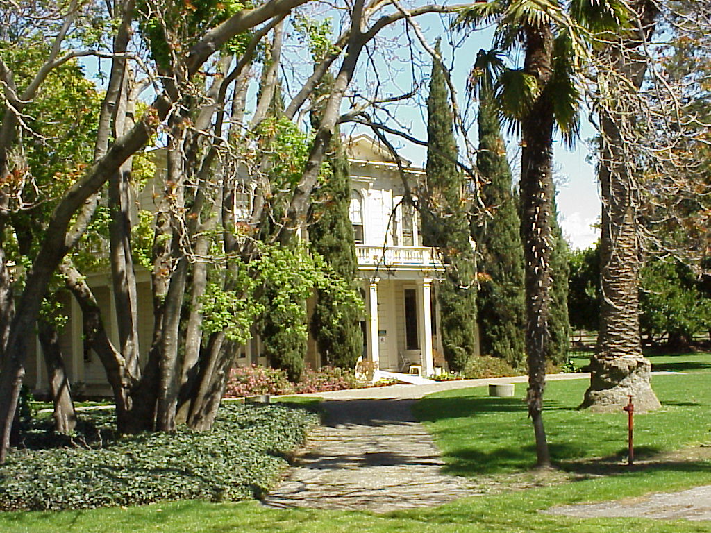
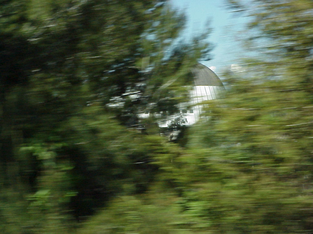
- The James Lick Mansion, behind John and Maureen's apartment.
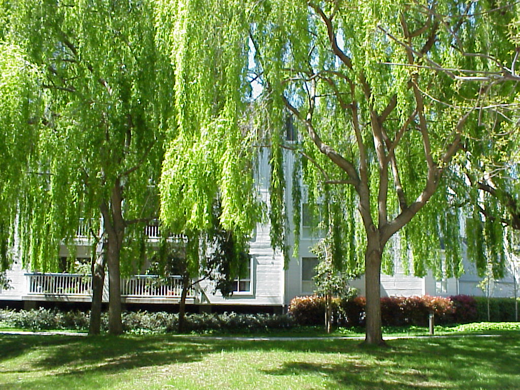
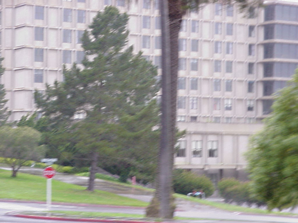
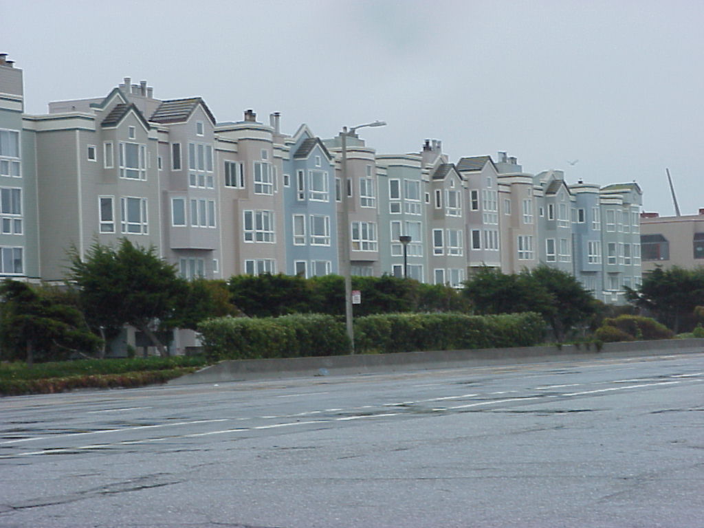
- An apartment building. It is John and Maureen's complex, but it might not be their building.
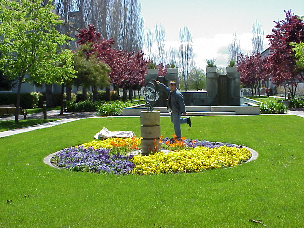
- Picture of Jay posing with the flower garden.
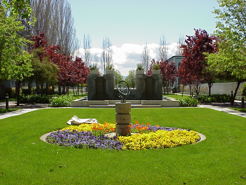
- Same shot, no Jay.
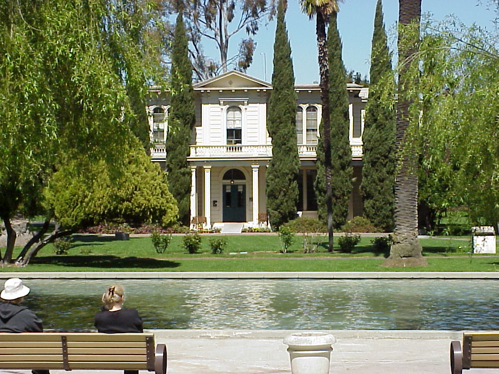
- The James Lick Mansion from across the reflecting pool.
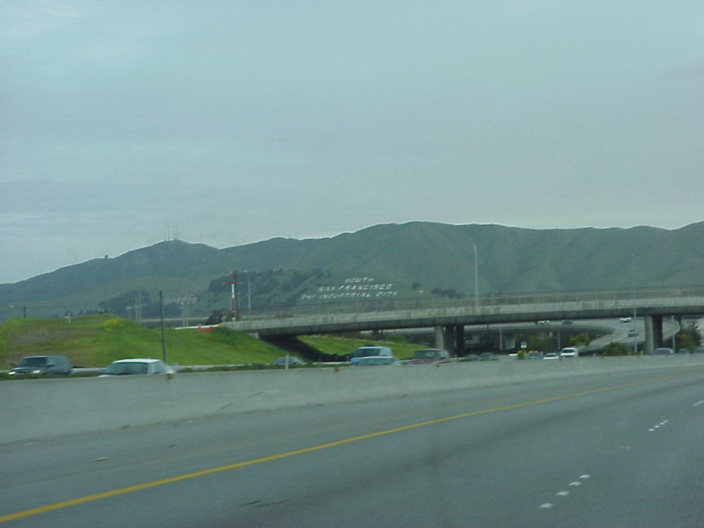
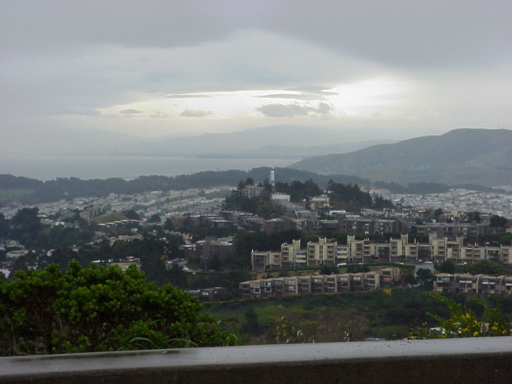
- "South San Francisco, the Industrial City" --- picture of San Bruno mtn.
- A repeat of San Bruno mtn, just in case :)
- San Bruno mtn. with a sign for "The New E-Trade" which is funny since S7 helped them get there.
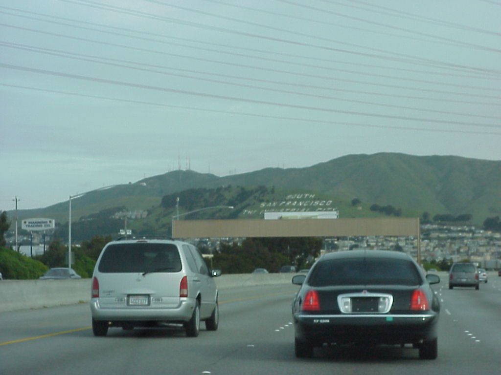
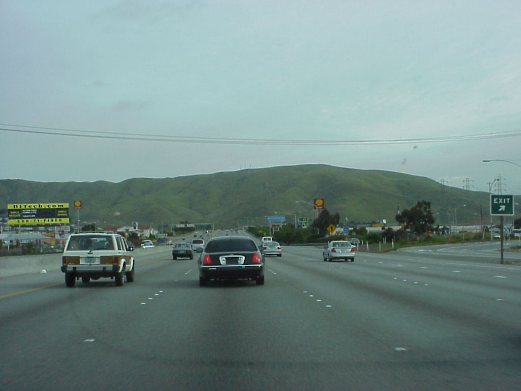
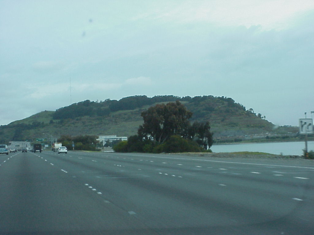
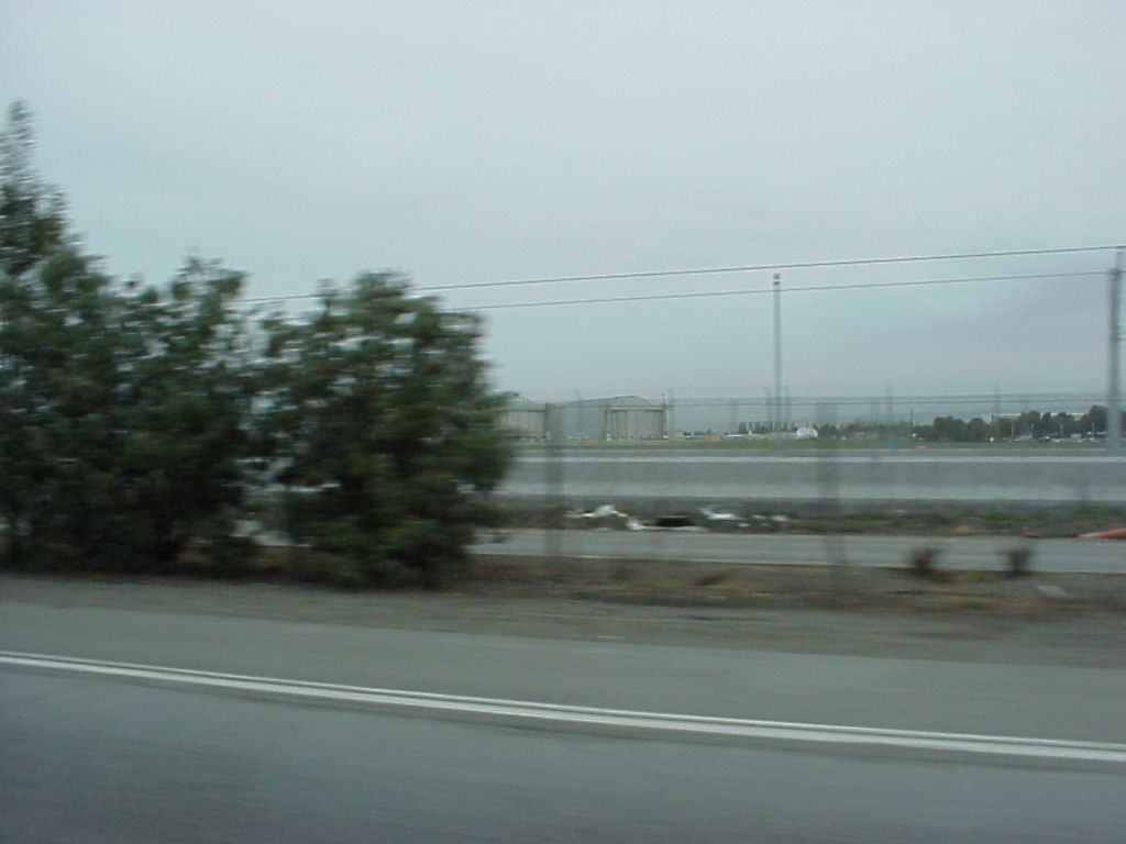
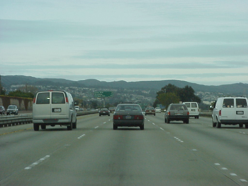
- More random shots from the 101 fwy.
- More random shots from the 101 fwy.
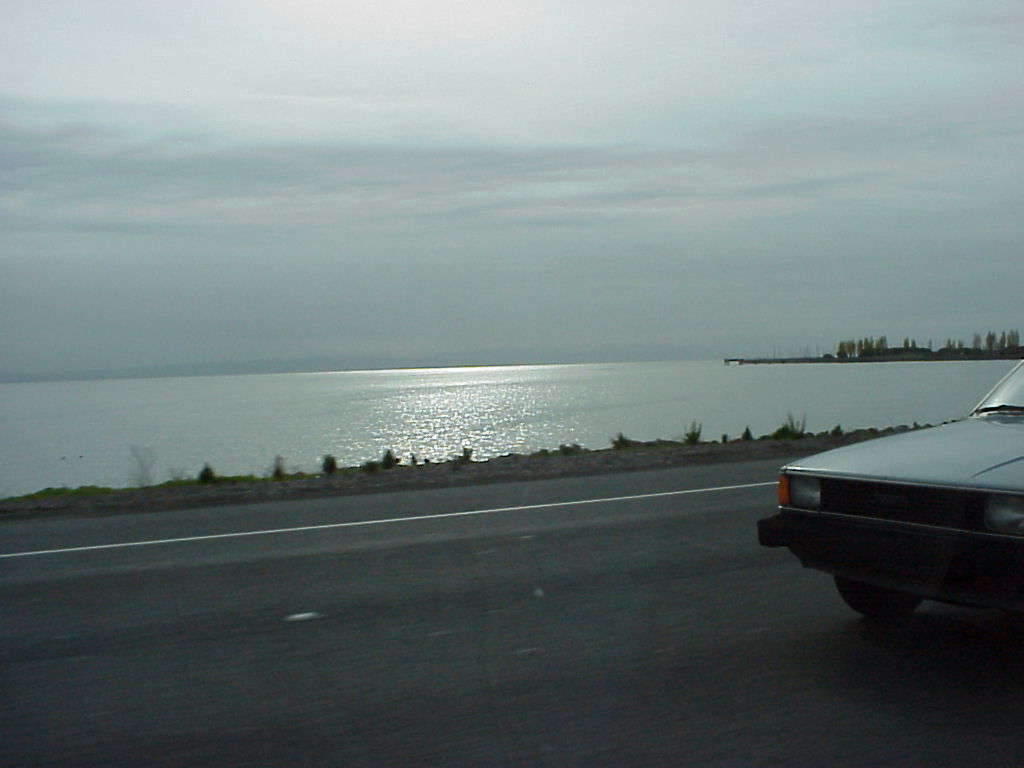
- A shot of the morning sun on the bay from the 101.
- I like hills. Another random shot from the 101.
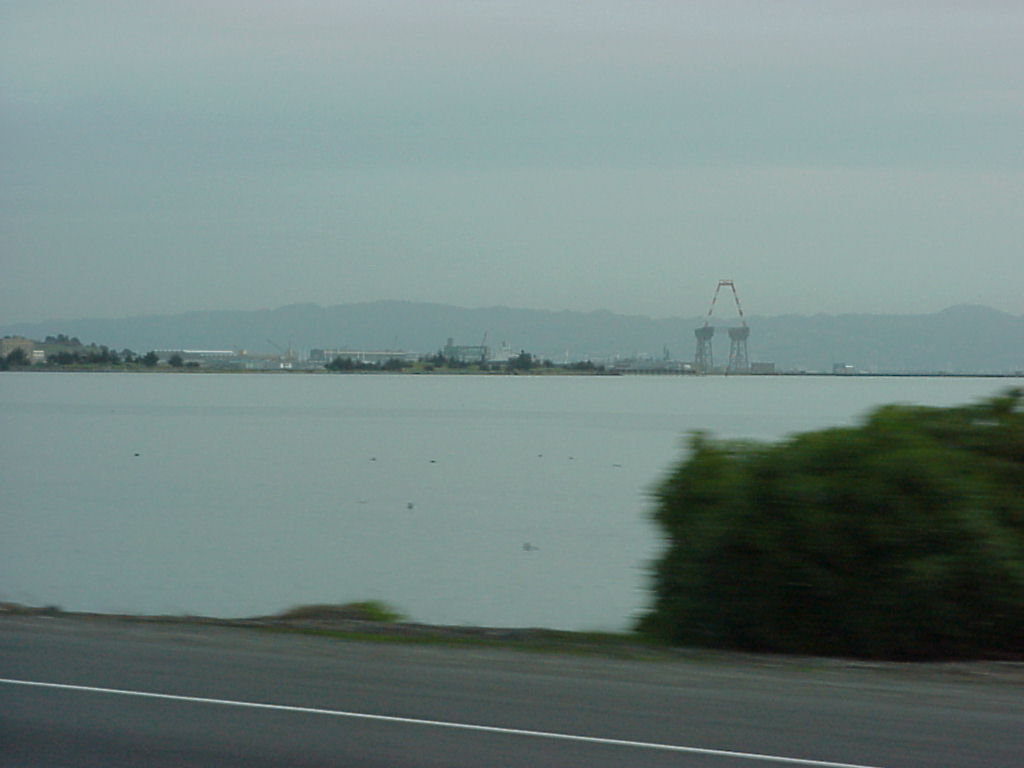
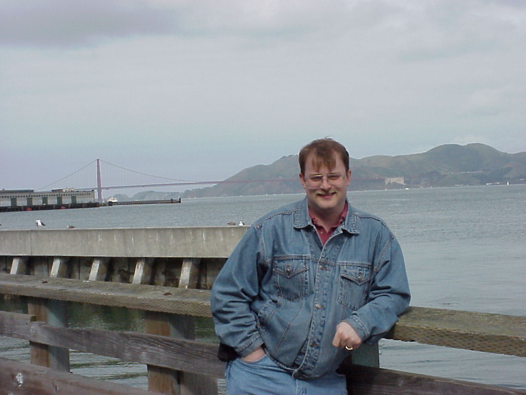
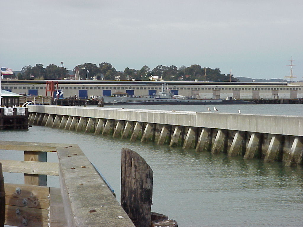
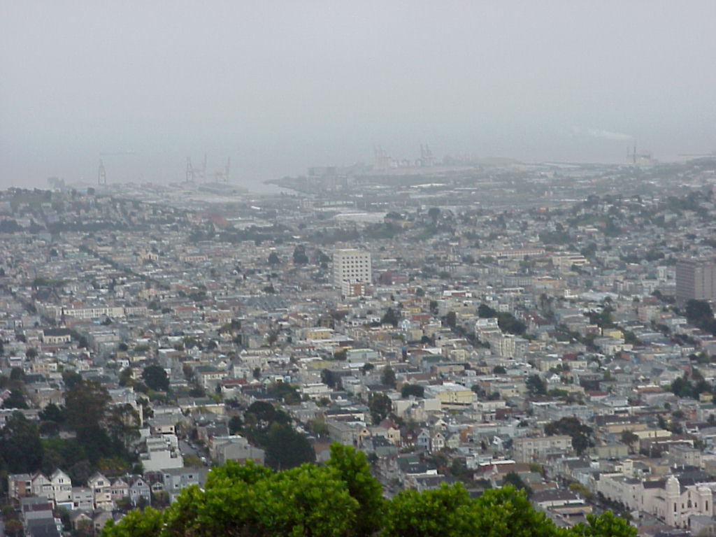
- View of the docks on the south side of San Francisco, taken from the 101.
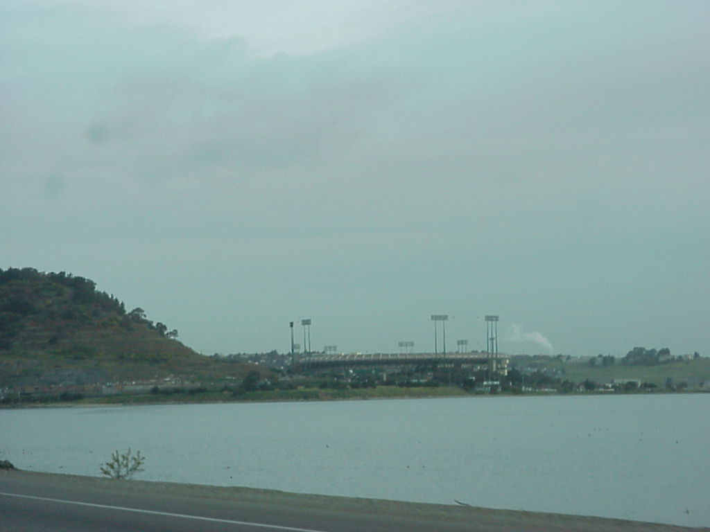
- Candlestick (3Com) Park.
- The hill behind Candlestick Park, an otherwise random shot from the 101.
- Row houses are us, taken for Jen :)
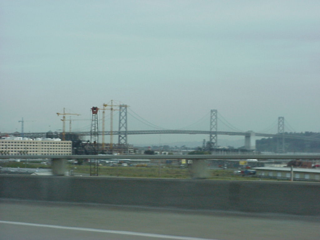
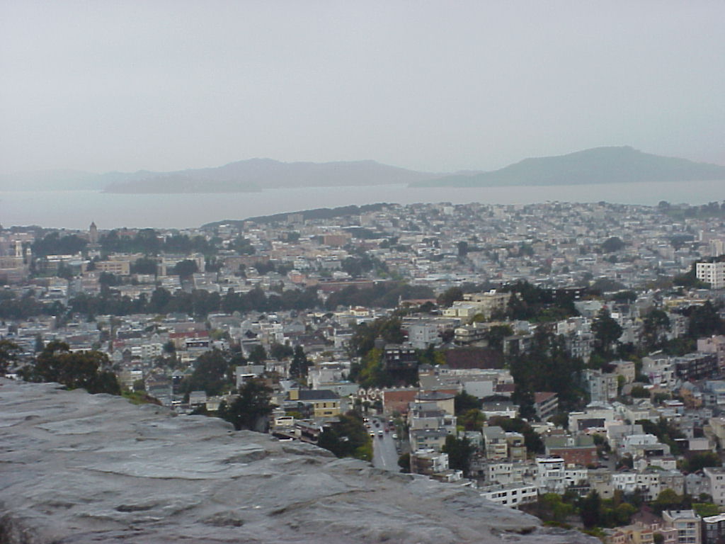
- The Bay Bridge?
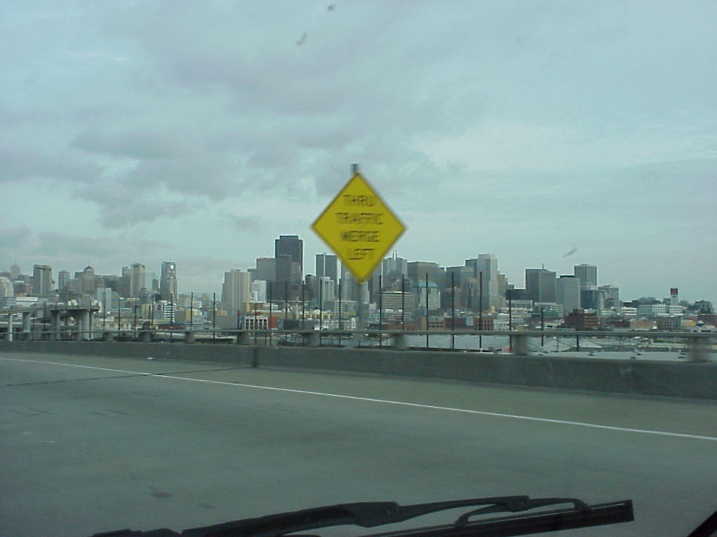
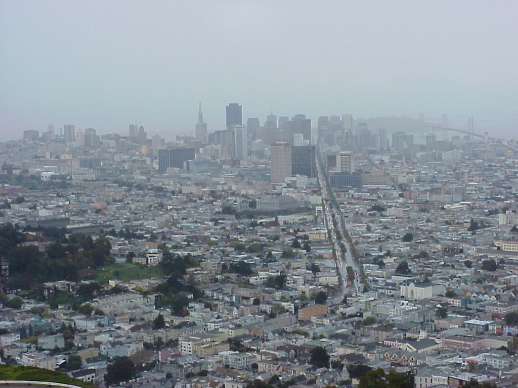
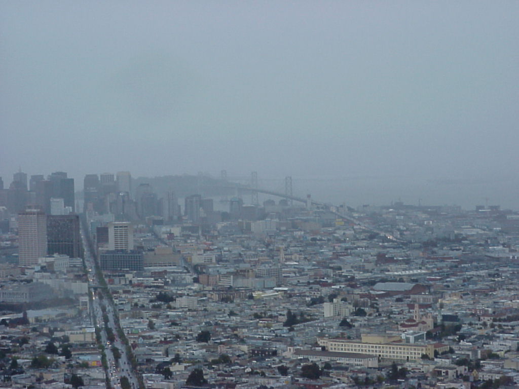
- A spotless view of downtown (at least it would have been if that sign hadn't stepped out and grabbed center stage.)
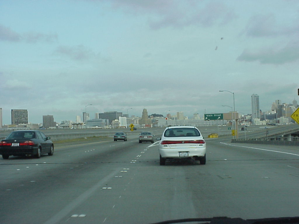
- The "rest" of downtown, from the 101.
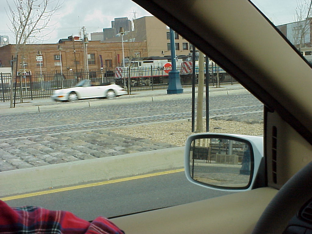
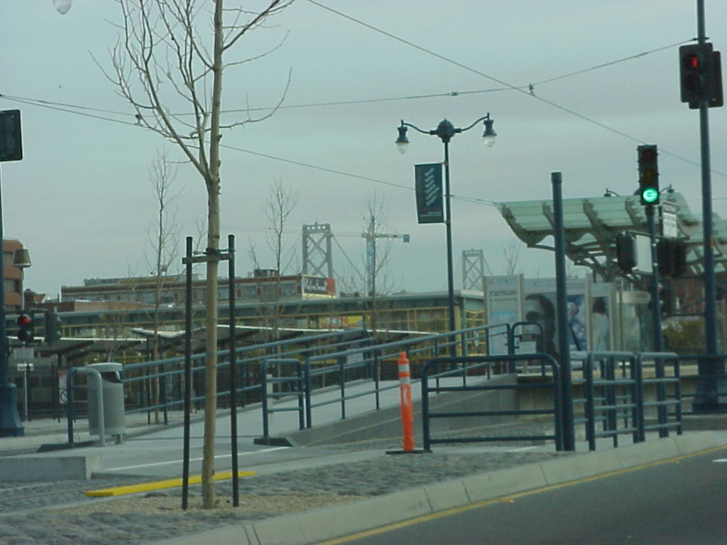
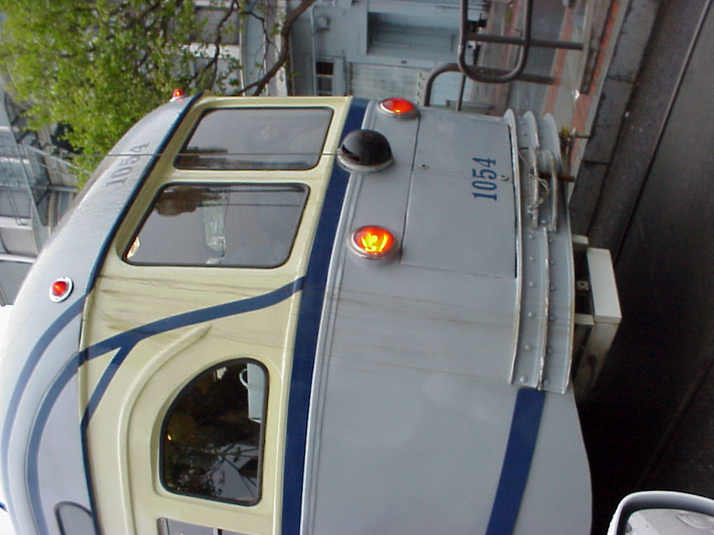
- I'm not sure what possessed me to take this pic of Caltrain...
- Some kind of transportation stop. I like public transport, what can I say?
- View of of Coit Tower from the intersection below the crooked segment of Lombard street.
- The really cool house to have if you must live downtown.
- Another view of the really cool house.
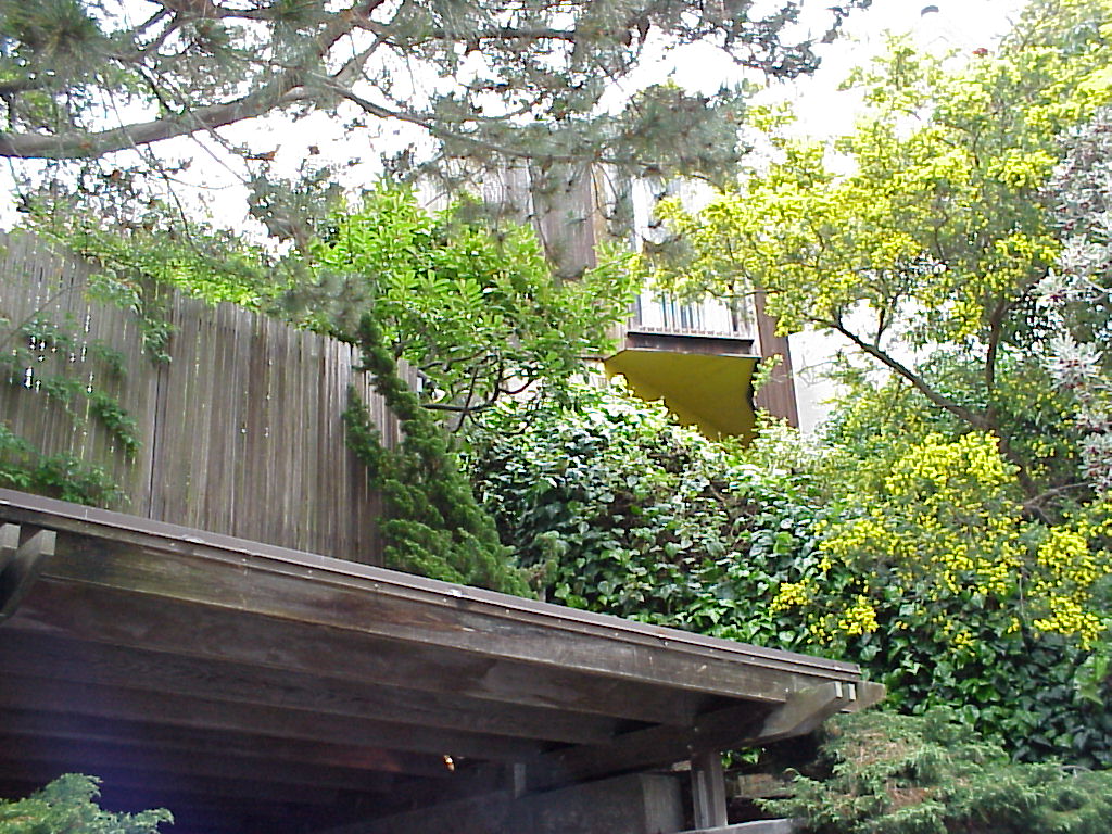
- Probably the best view of the house. I like this house (for a downtown house) because it looks like it has some semblance of seclusion.
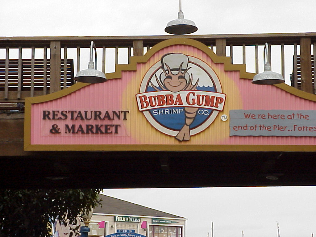
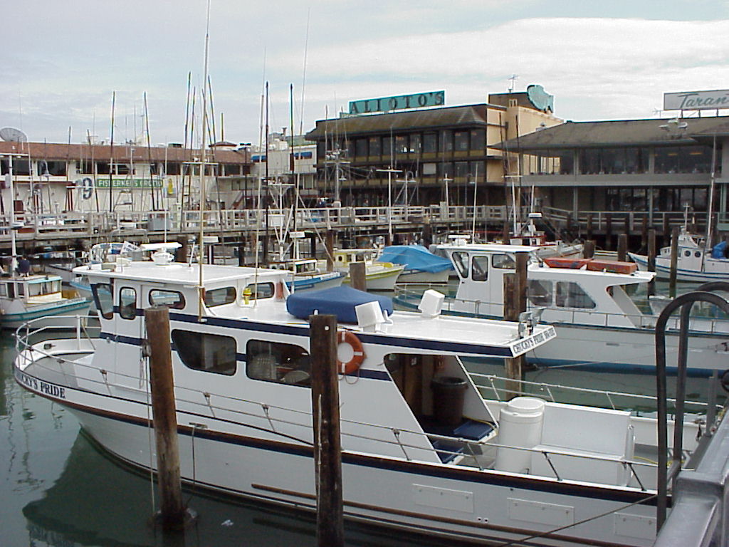
- Bubba Gump's, Pier 39
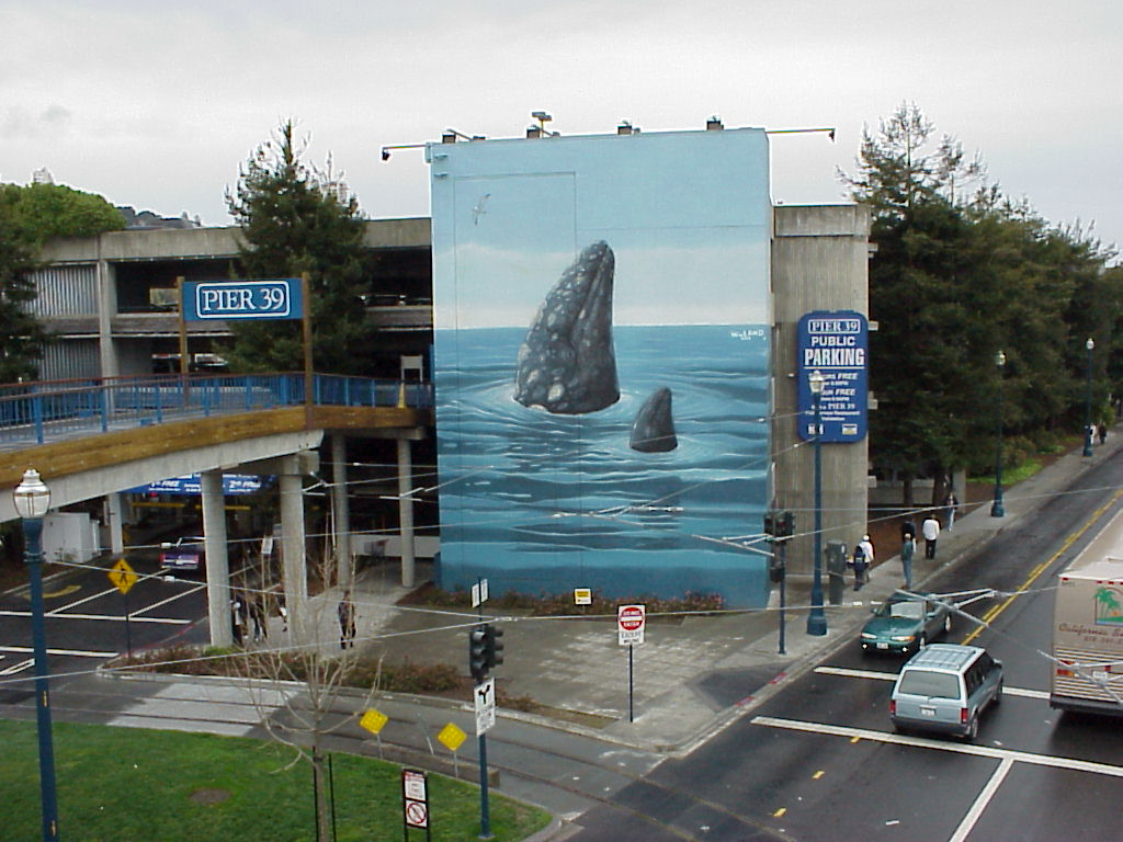
- A neat mural at the parking garage at Pier 39.
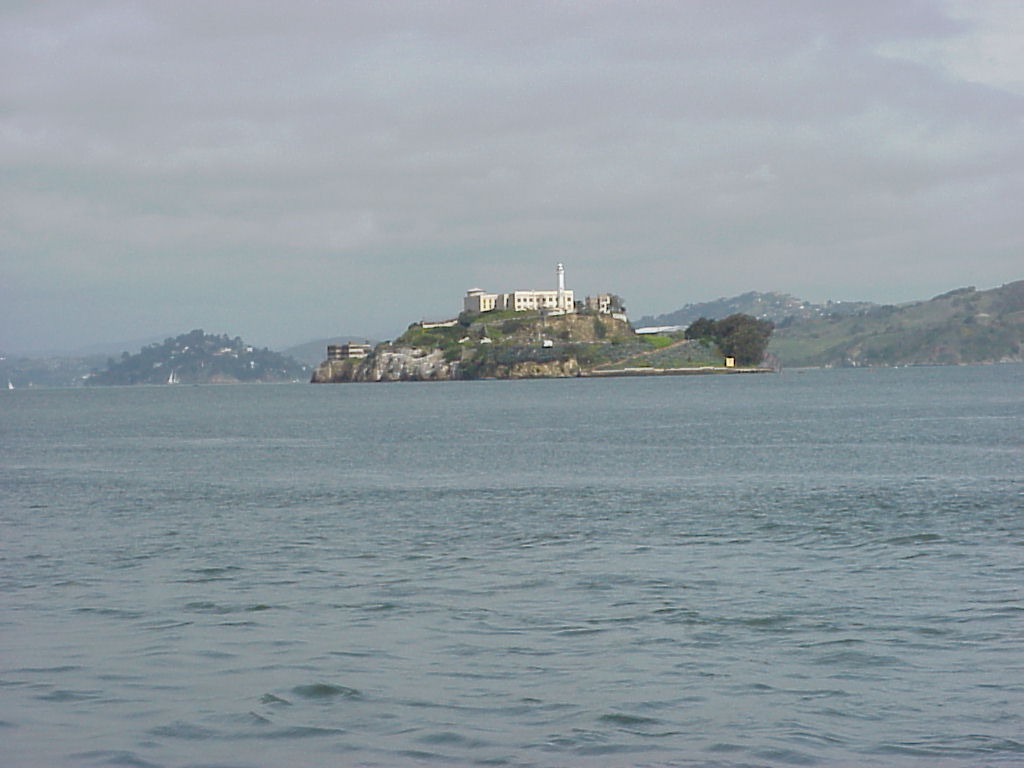
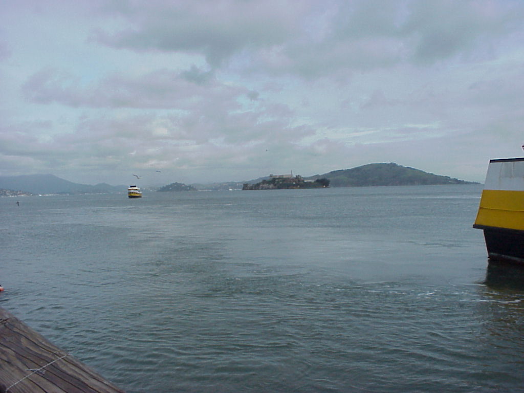
- Pier 39, or part of it. That's Alcatraz straight back from the Blue and Gold Ferry.
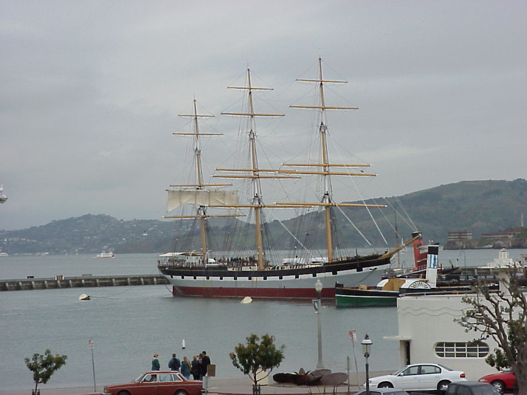
- Balclutha, a tall ship docked at the San Francisco Maritime National History Park. I saw a special once on the History Channel (I think) which claimed she was a Windjammer-class ship. You can read more about her.
- View of the harbor while walking up Hyde Street toward Lombard.
- A cablecar on Hyde Street, some nameless innocent bystander (you know who you are) in the center, John on the right, looking away from the camera.
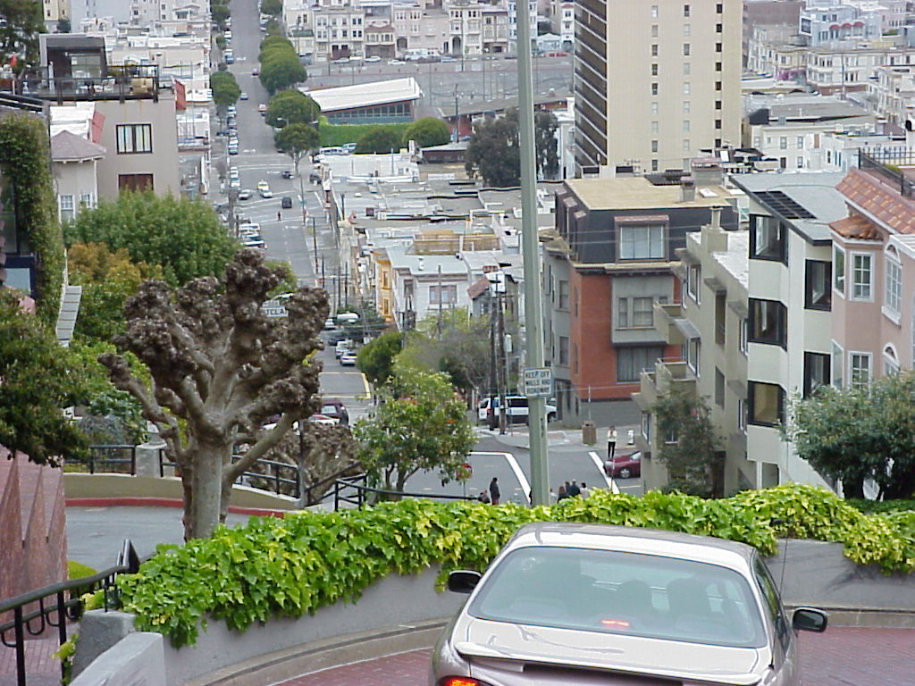
- Looking west down Lombard Street from Lombard and Hyde.
- Looking down Hyde St. Alcatraz is on the right, behind the tree.
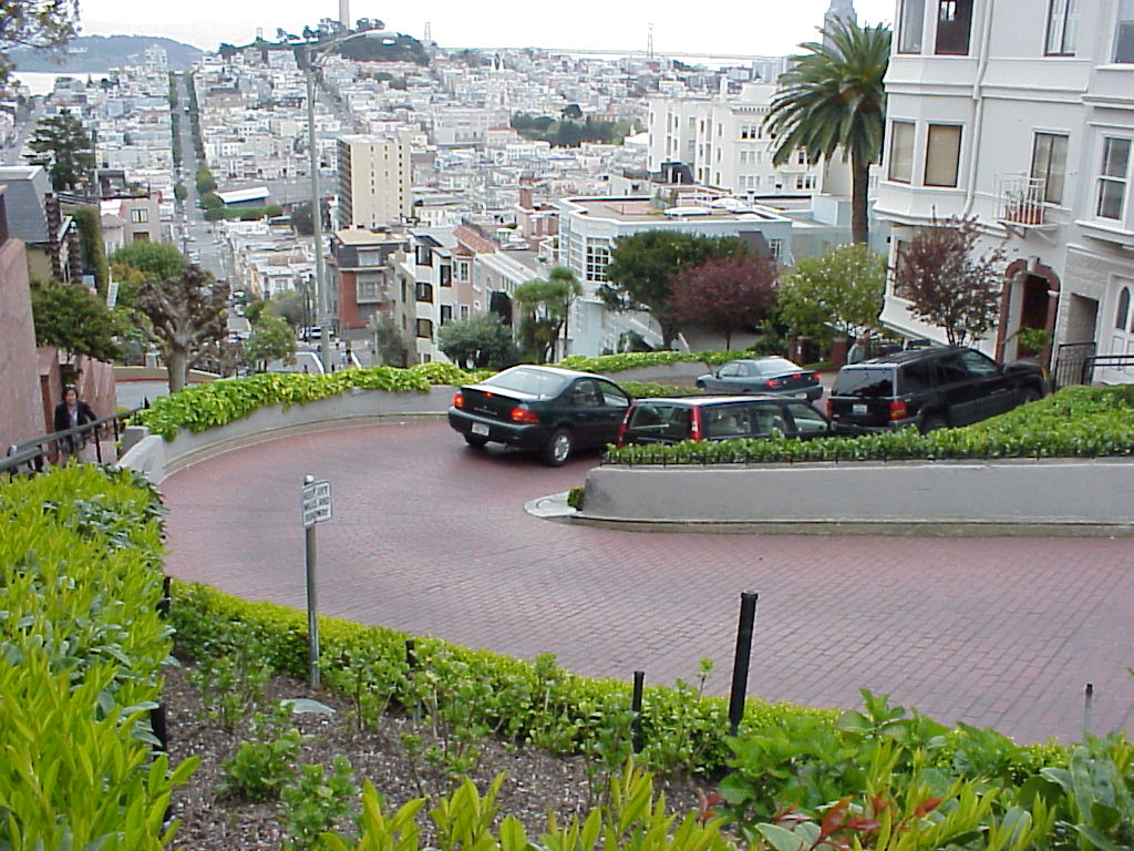
- Lombard St., looking down at cars negotiating the sharp turns.
- Lombard St., looking down to the bottom of the hill.
- Coit Tower viewed from Lombard.
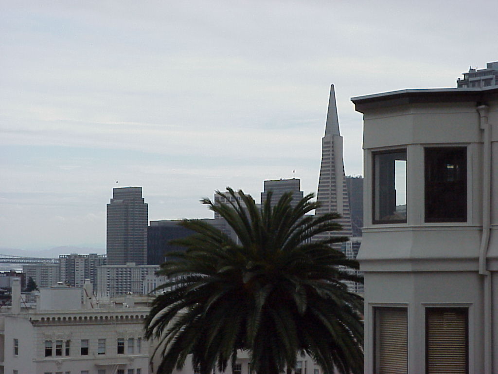
- The TransAmerica Pyramid, from Lombard.
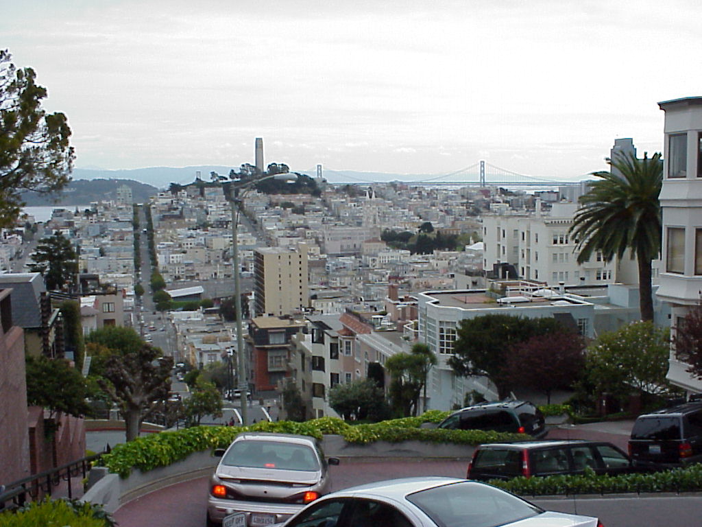
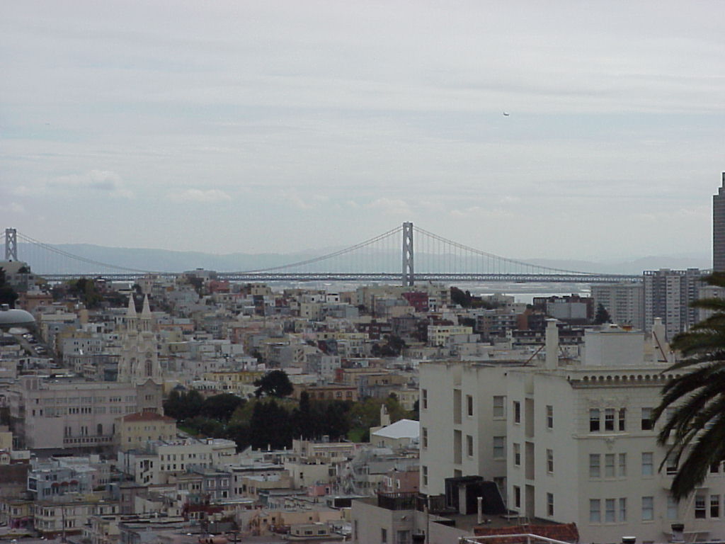
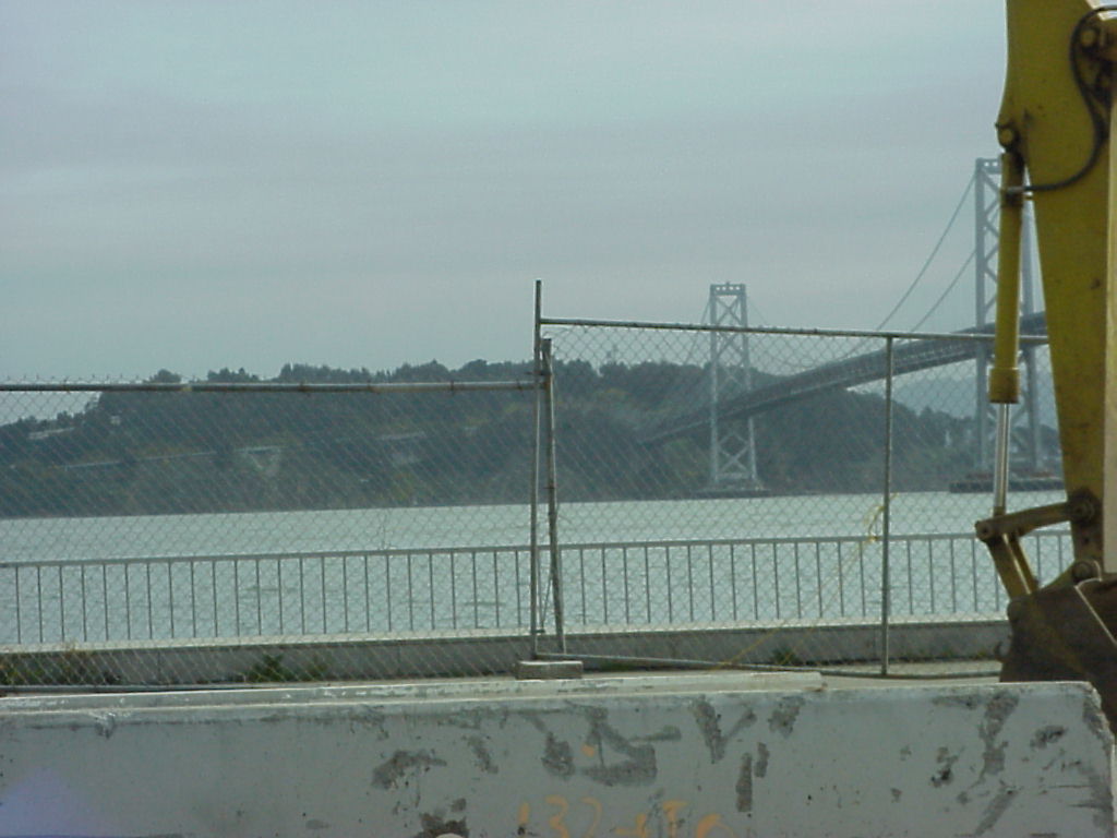
- The bay bridge from Lombard Street.
- More of the Bay Bridge from Lombard Street.
- Looking up Lombard, the most crooked street in the world. You can find it at N37.8020 W122.4184
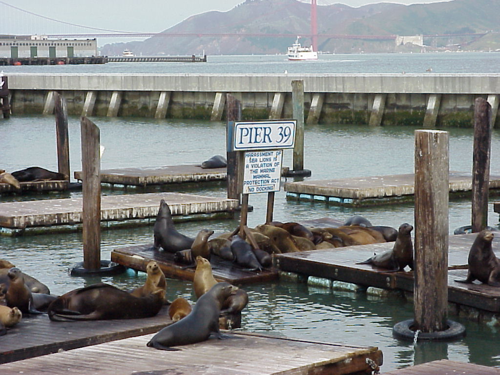
- Sea Lions at Pier 39
- Jay at Pier 39 with Golden Gate in the background.
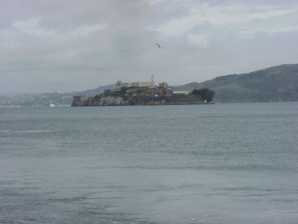
- Alcatraz as seen from Pier 39!
- The WWII Balao Class submarine USS Pampanito (SS-383). Read more about her at the National Maritime Museum Association. Also known as the USS Stingray
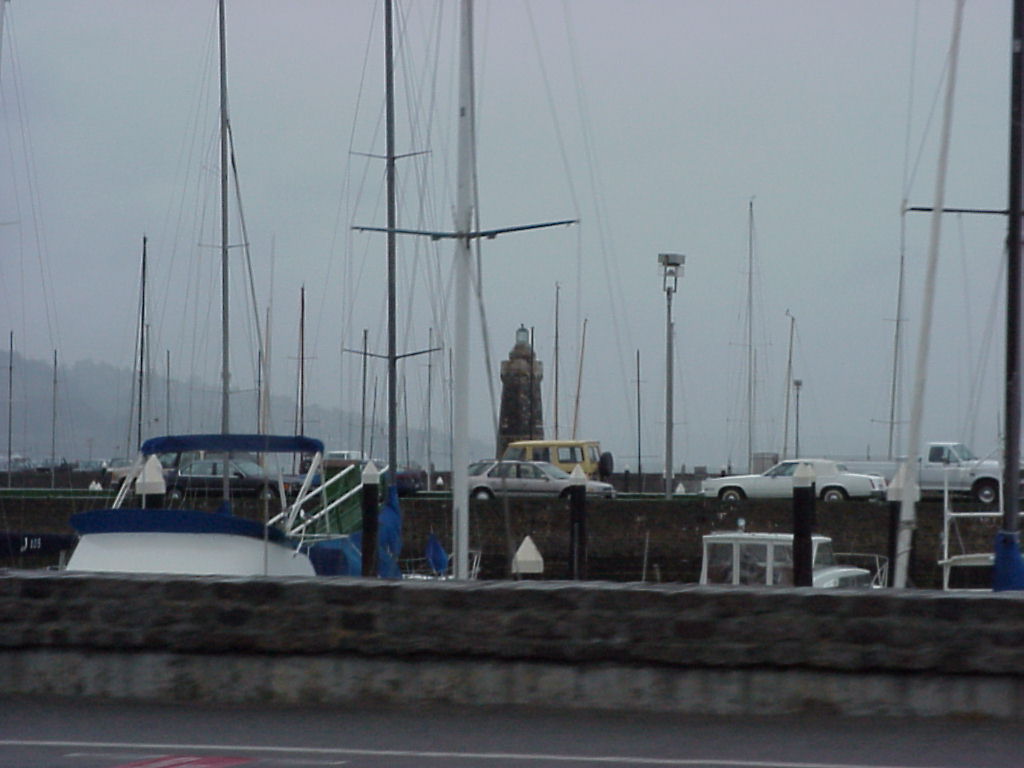
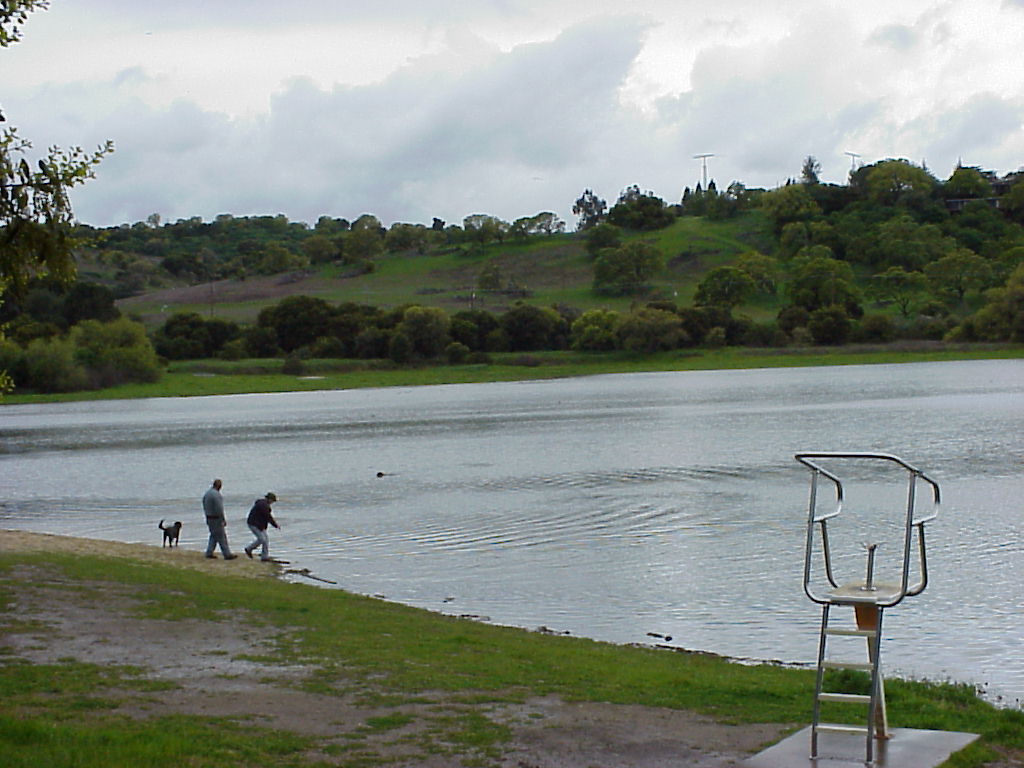
- Boats at a marina.
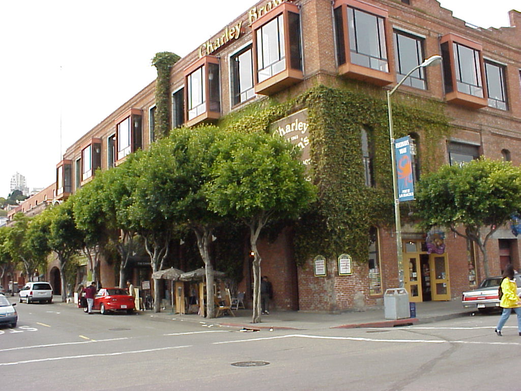
- Charley Brown's. :)
- Looking upstreet from Charley Brown's.
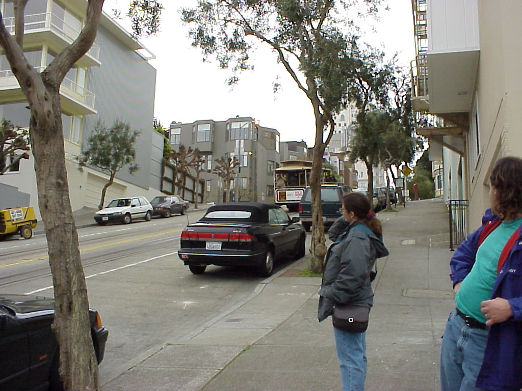
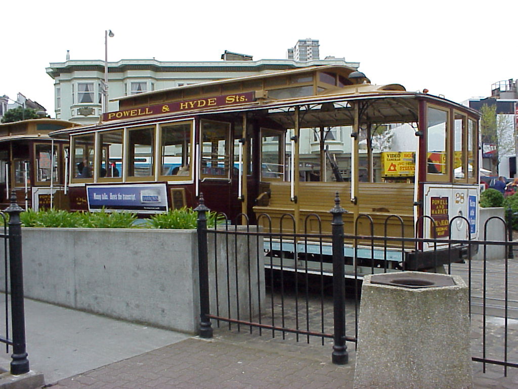
- cablecar at the roundabout!
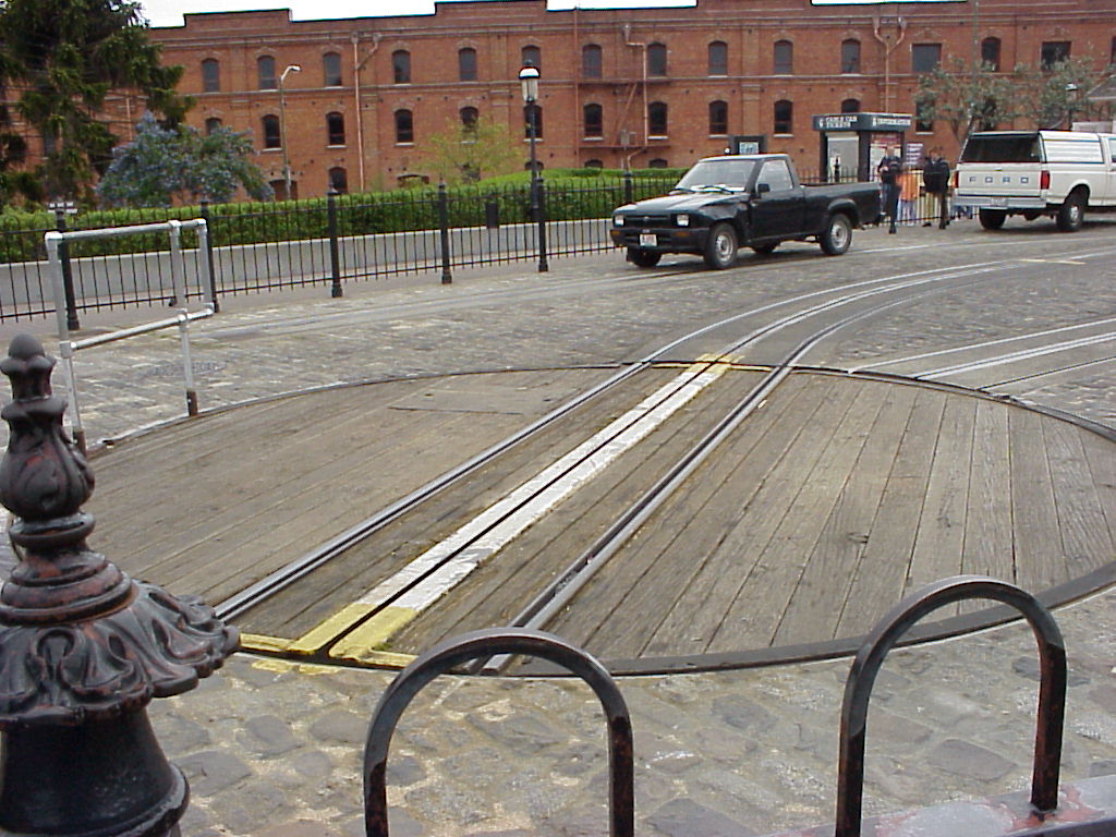
- The cablecar roundabout! It's still turned by elbow grease!
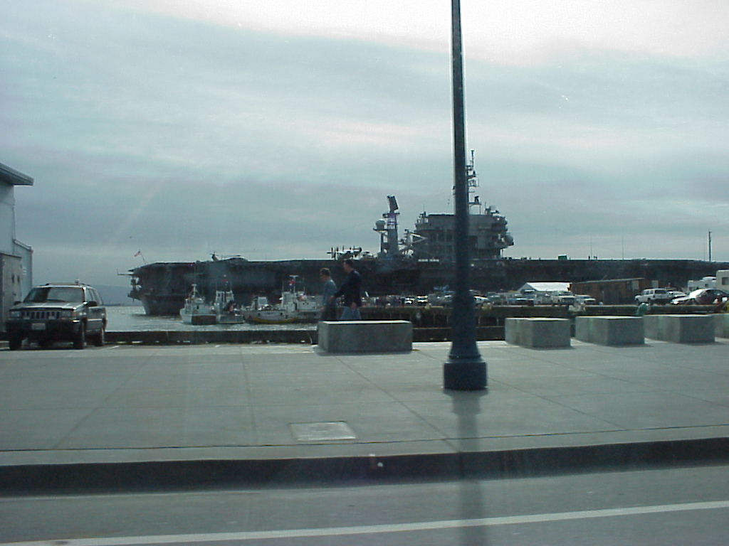
- The USS Constellation at her moorings in San Francisco.
- A slightly better shot of the Constellation.
- The Bay Bridge as seen from the street, near the business end of a BACKHOE!
- Alcatraz again, with a Gull in the foreground, taken from Pier 39.
- One of the Gold Line Ferrys returning from Alcatraz.
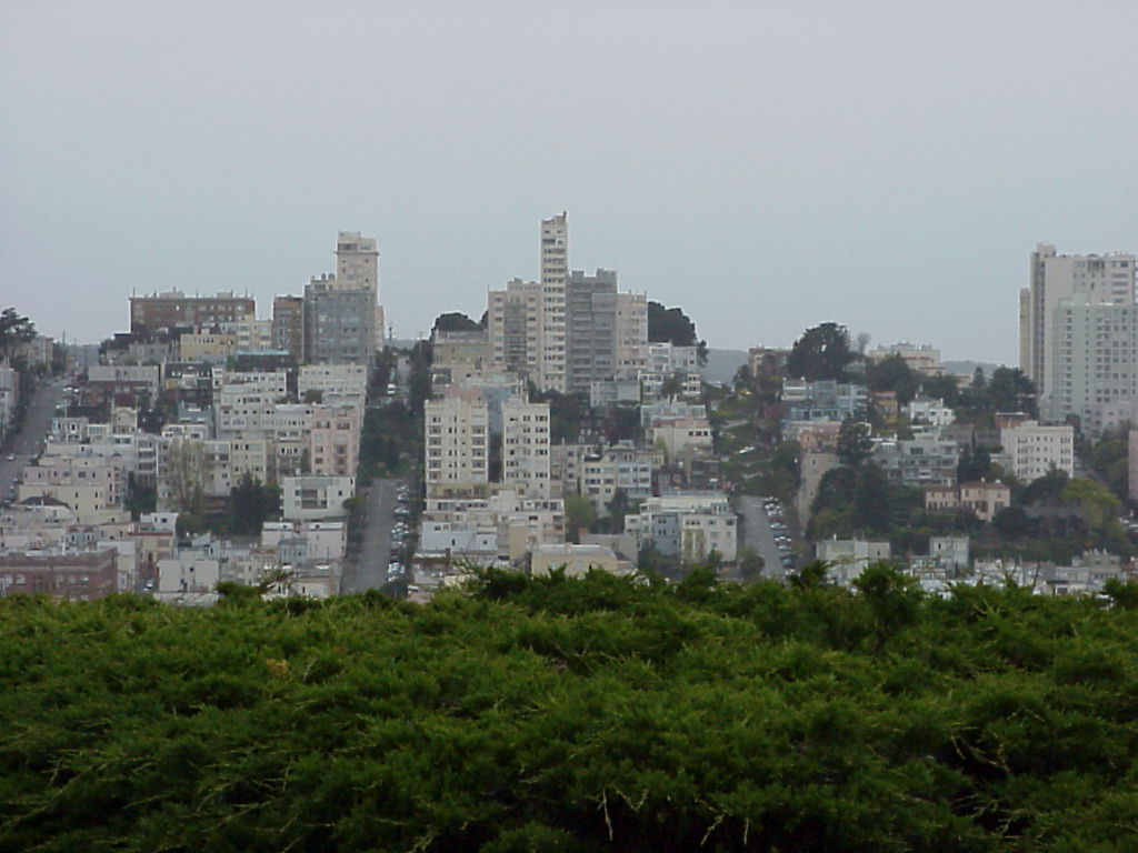
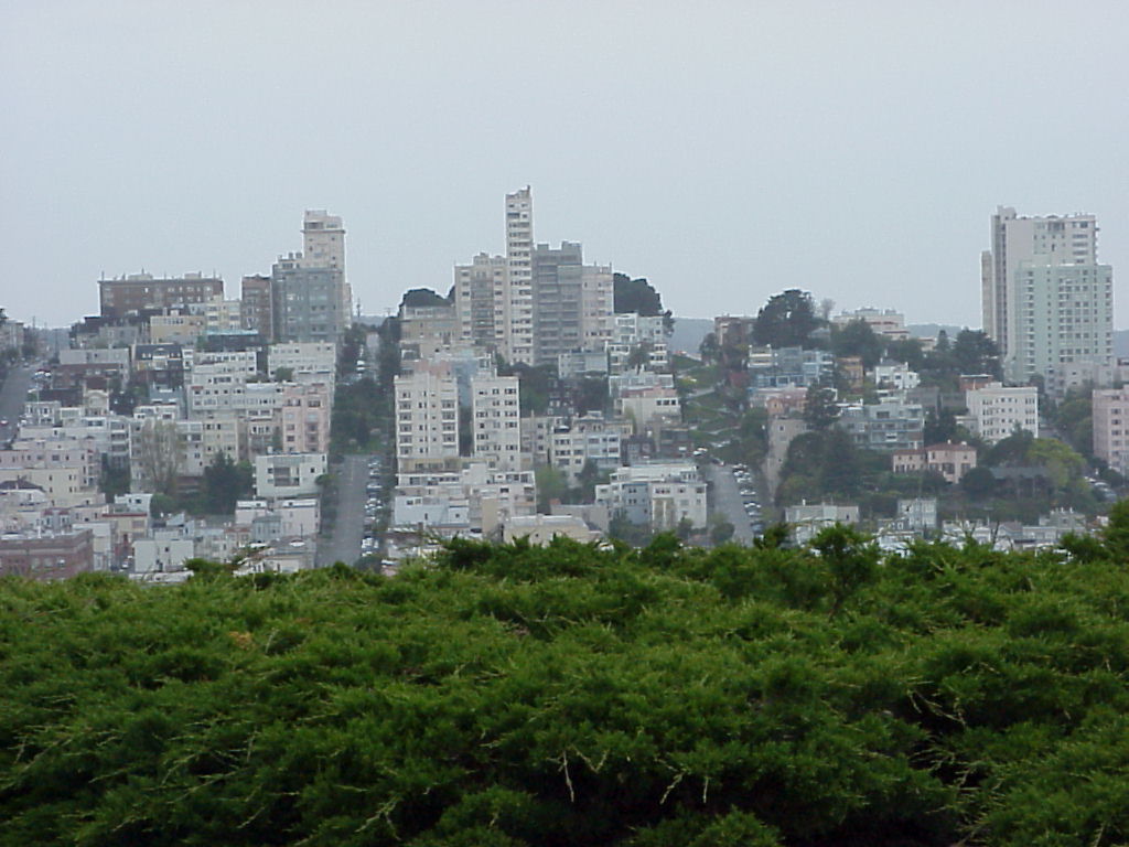
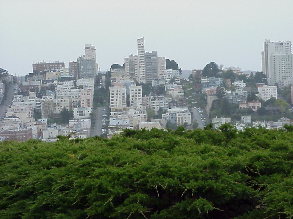
- Good shot of Lombard Street and surrounding area from near Coit Tower.
- Much the same shot of Lombard from Telegraph Hill.
- And again (I wanted to be very sure I got it). This time, it's crooked though!
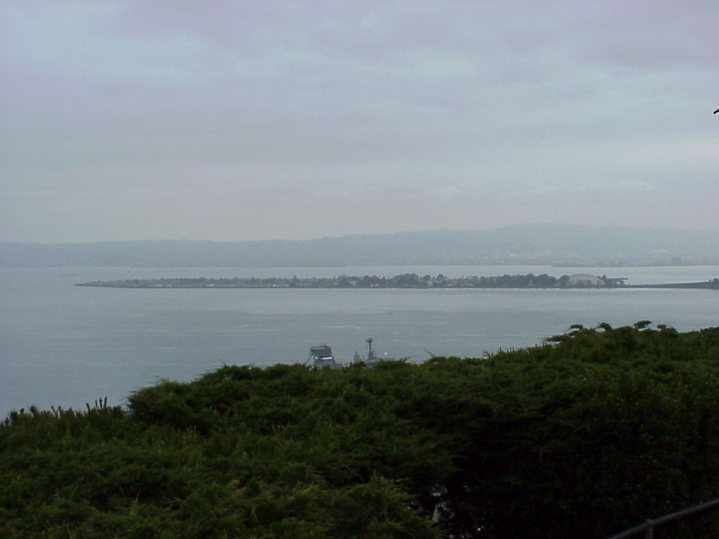
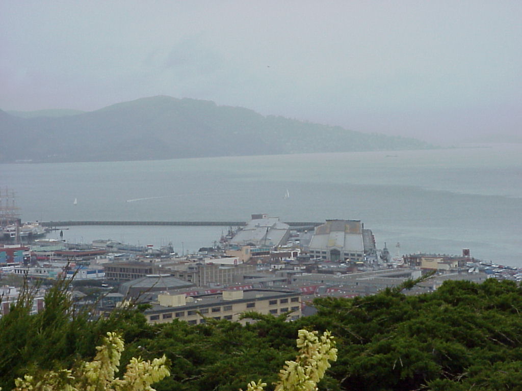
- A zoomed out shot of Treasure Island from Coit Tower.
- A closer-in picture of Treasure Island from Coit Tower.
- ./disk18/mvc-002x.jpg
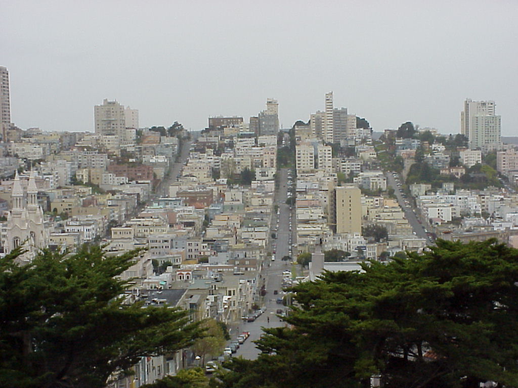
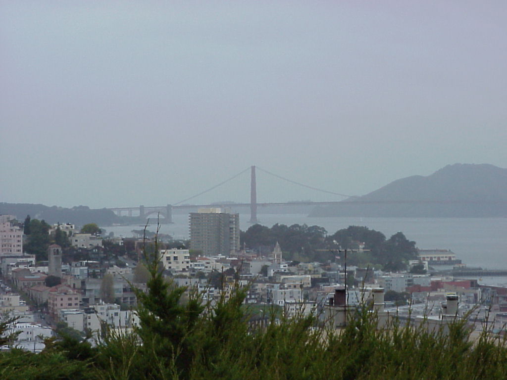
- Downtown SF with view of Lombard Street, taken from the hilltop grounds at Coit Tower.
- Looking down from the hill through the trees. I thought it looked neat.
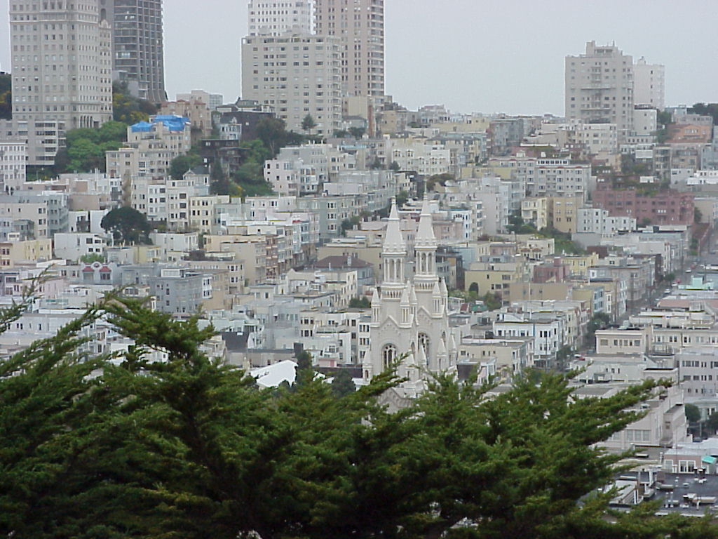
- More view of downtown from the hill. Pay attention to that church...
- Alcatraz from the hill.
- Pier 39 from the hill.
- The Golden Gate from the hill.
- A plaque at the hill.
- Coit Tower, up close and personal.
- Who ordered this rain? Jen, John and an innocent bystander debate...
- A blurry version of the shot looking down the hill. See above :)
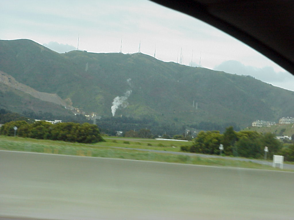
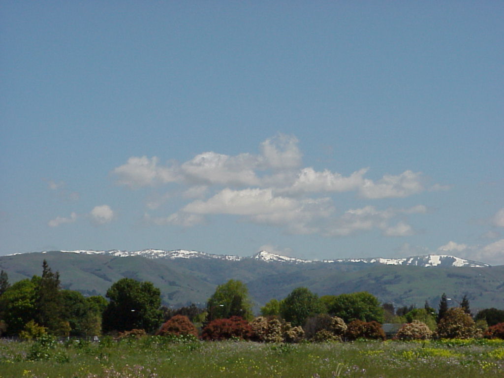
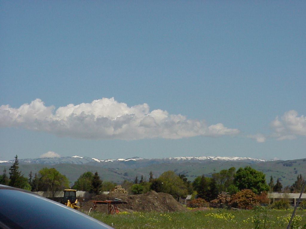
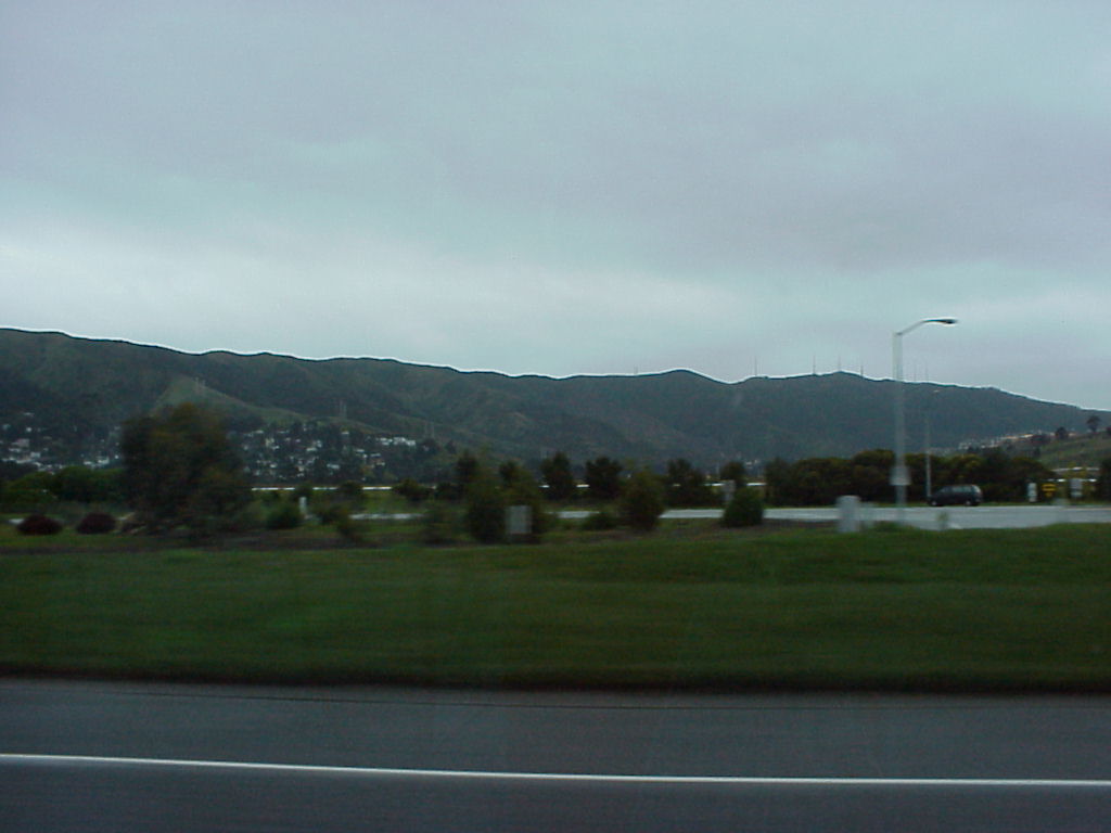
- Mountains east of Palo Alto.
- More Mountains east of Palo Alto.
- And more mountains, east of Palo Alto.
- A zoomed out version of the previous view.
- Looking east from North 1st and Montague Expwy in Santa Clara / San Jose area. Creative Labs is about 0.25 statute miles toward the Mountains in this picture. You can find them at N37.3976 W121.9131
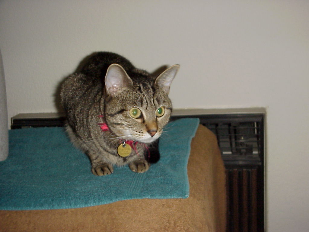
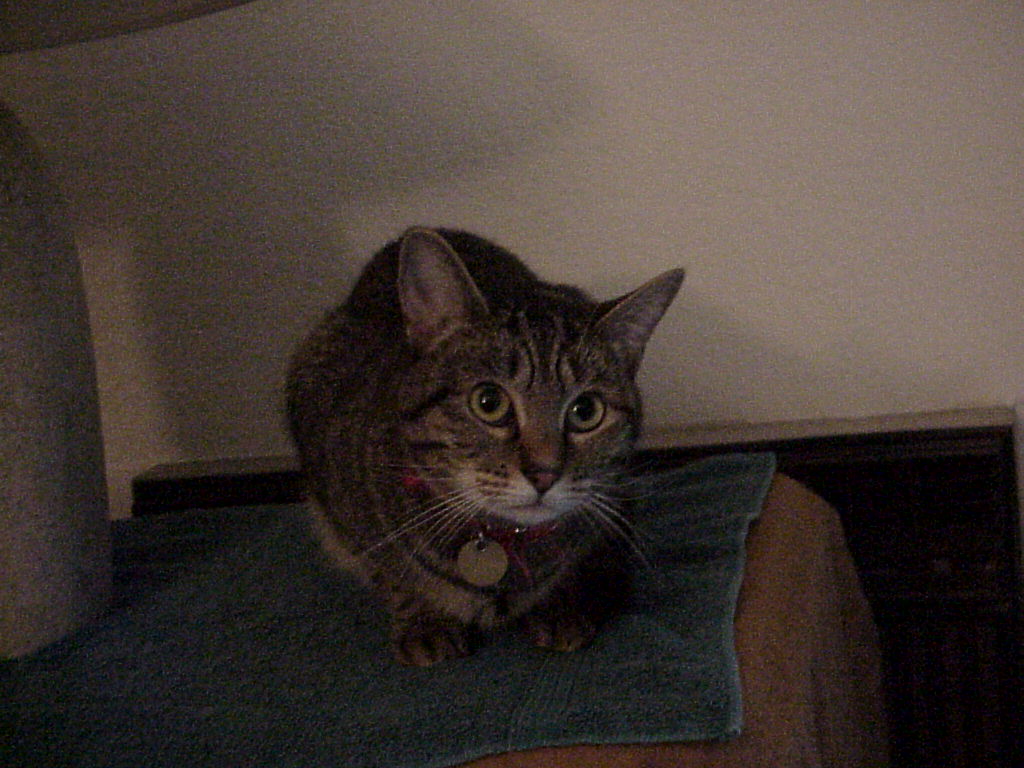
- Tammy the cat.
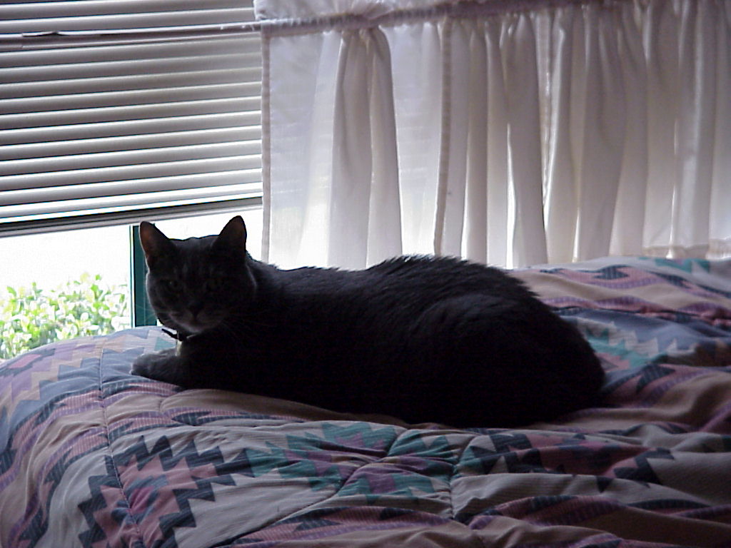
- Linguini the cat.
- Guini sans Flash (he saved every one of us!).
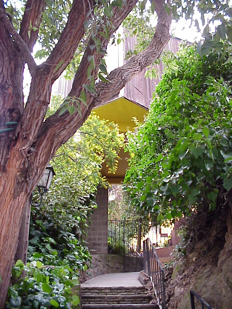
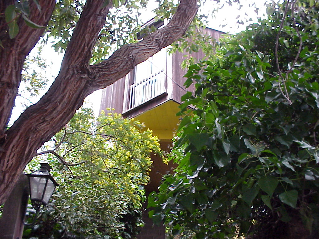
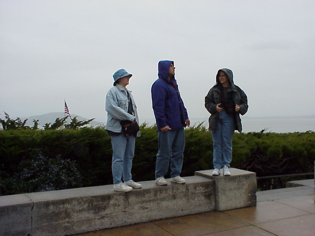
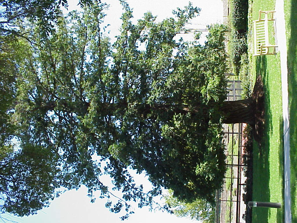
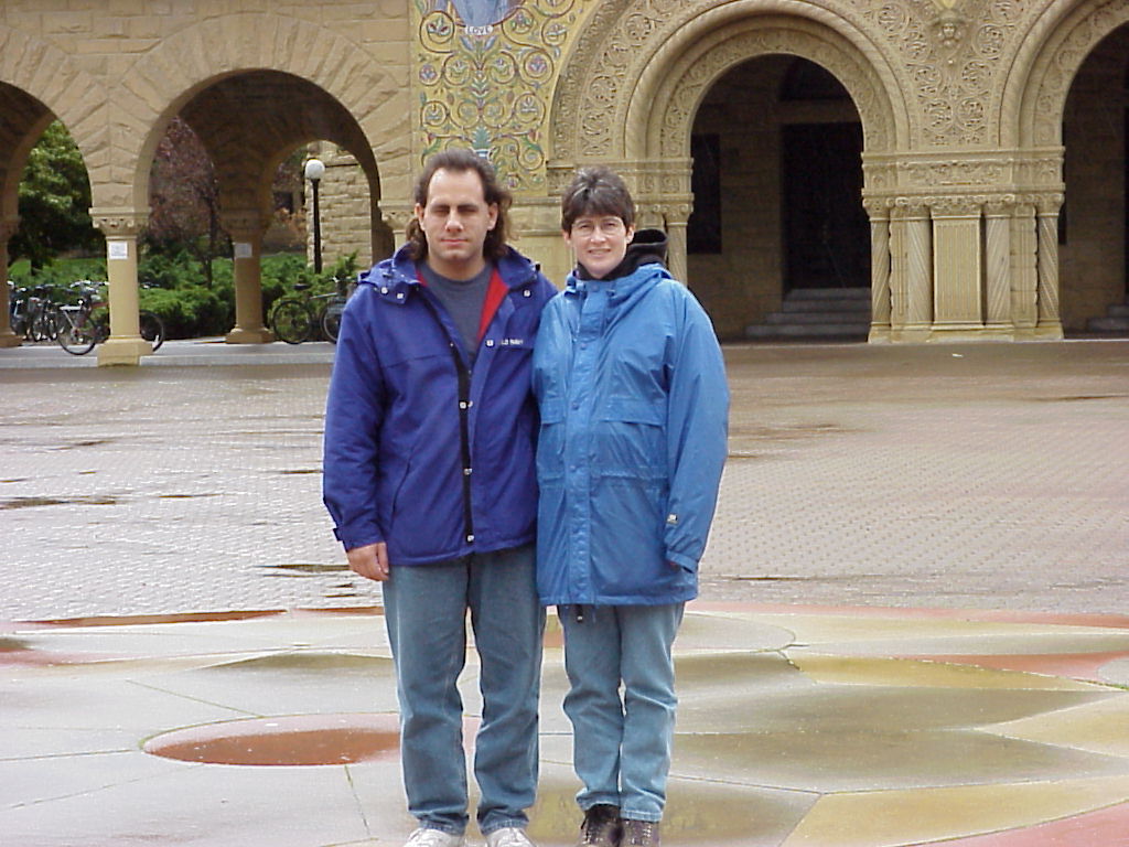
- Left to right: a really big tree, a picnic table, Maureen, Jay, John (just behind Jay), and an innocent bystander. This was taken on the ground of the Lick Mansion behind the apartment building that John and Maureen lived in at the time.
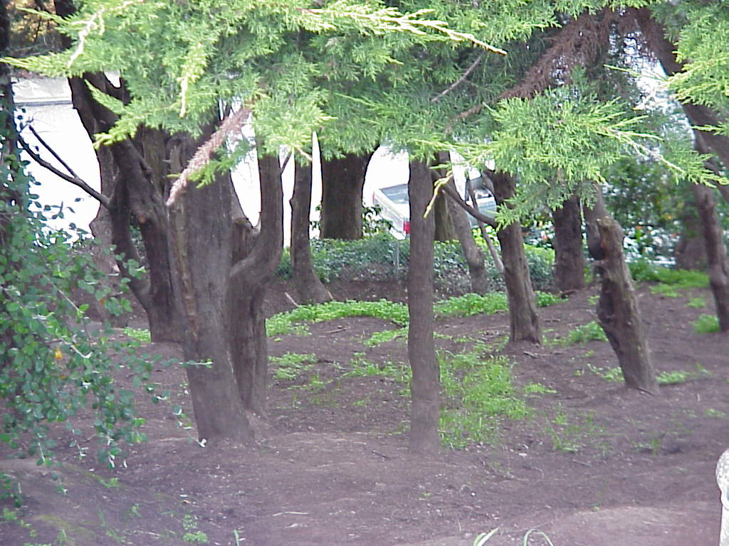
- Another very nice conifer on the Lick Mansion.
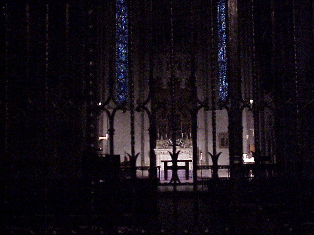
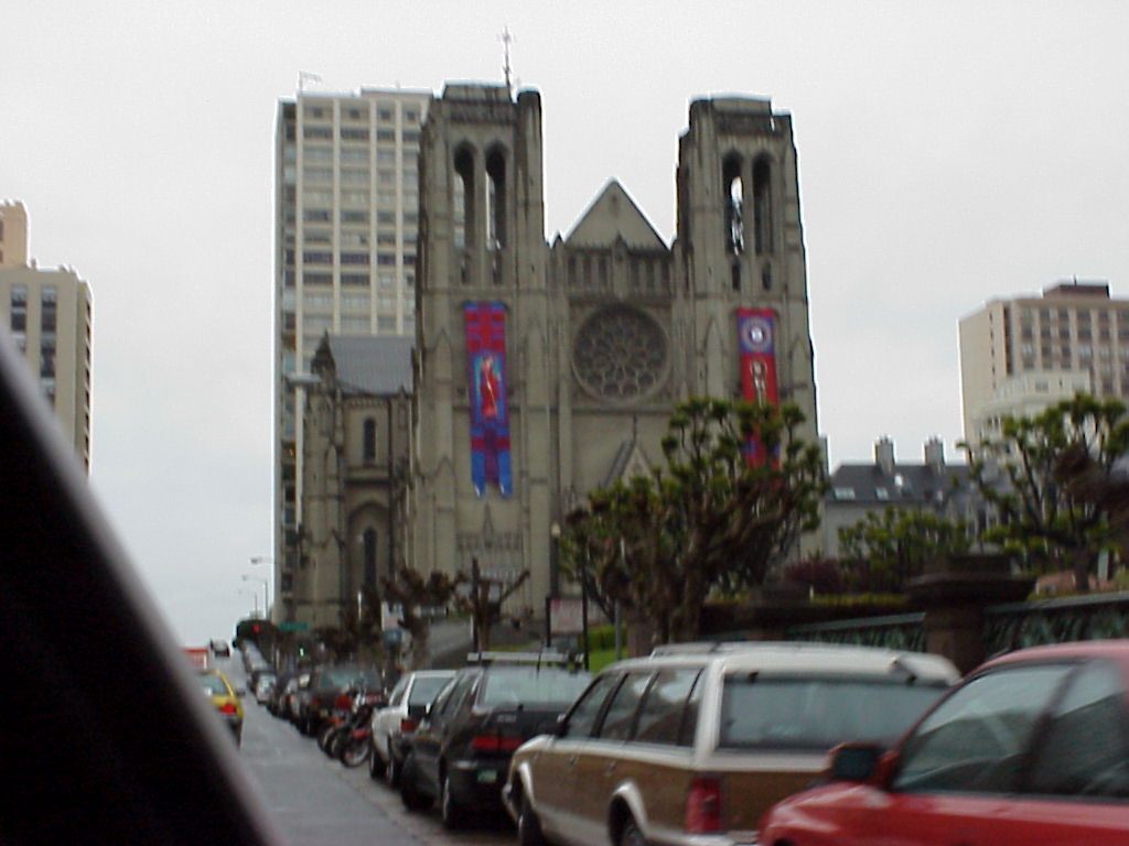
Grace Cathedral
- Celtic cross at Grace Cathedral
- The small Chapel to the side, looking through the gates.
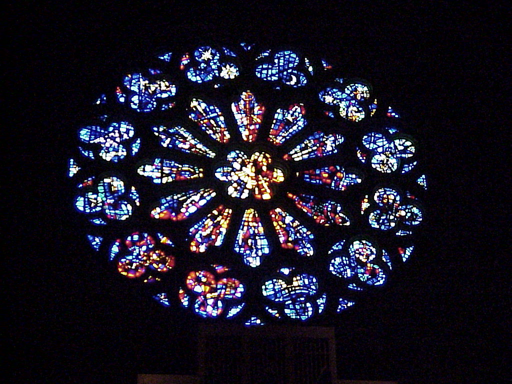
- Image source of a view looking up at the cathedral ceiling. Someone with really good photo tools can probably recover the details.
- Cathedral ceiling, take 2.
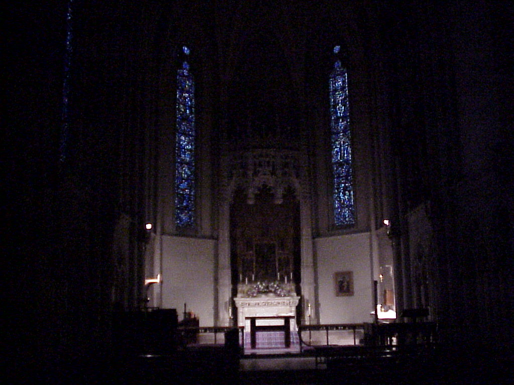
- I "pulled strings" to get the gates opened. Here's a nice close-up of the altar in the chapel.
- Another view inside the chapel, with a decent view of the stained glass. Had it not been so rainy this would have been a truly stellar shot.
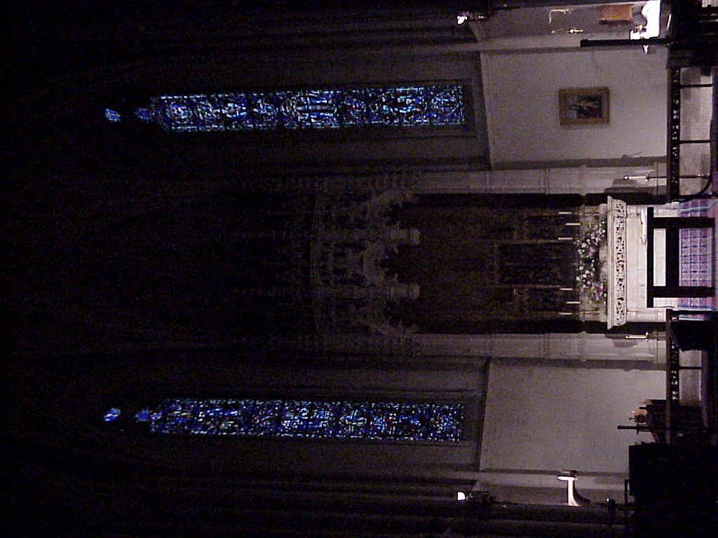
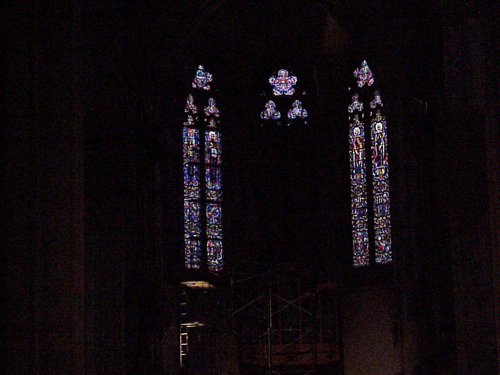
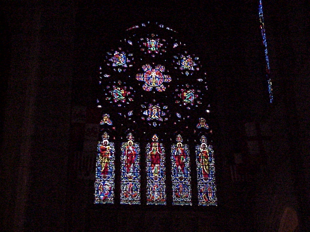
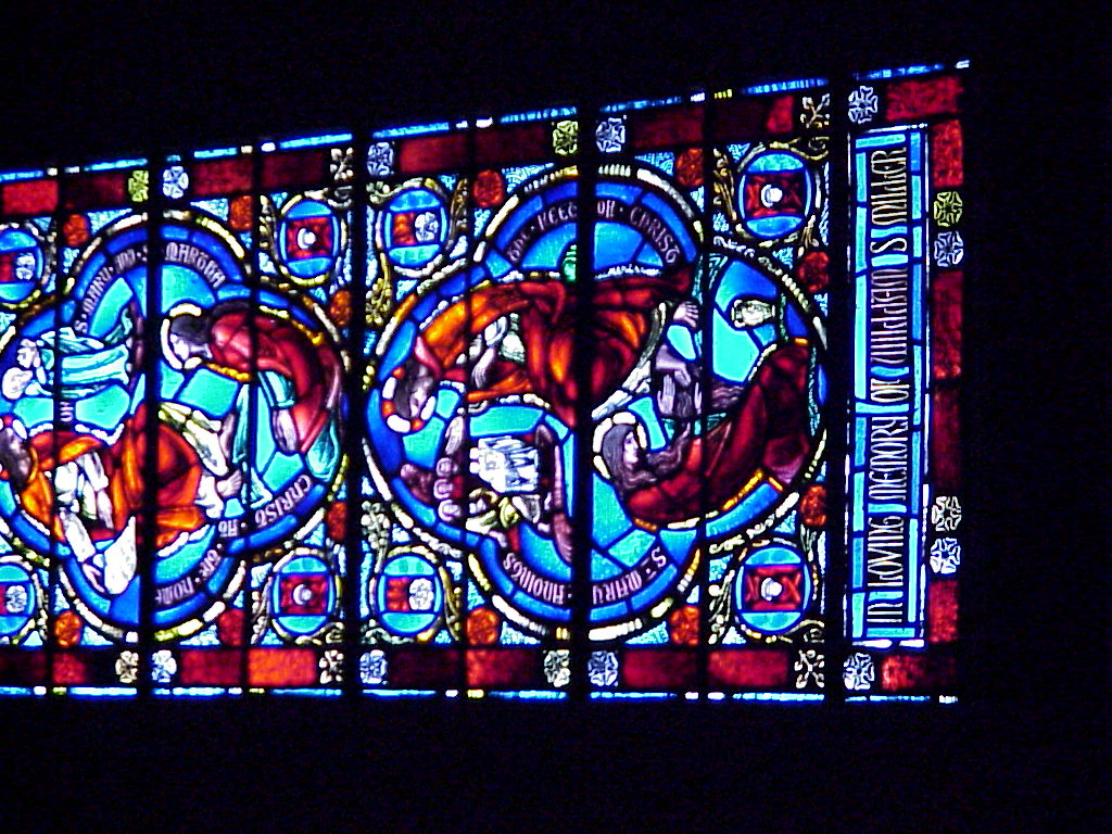
- Stained glass windows on the Cathedral walls.
- A better shot of the stained glass.
Pictures from the Golden Gate
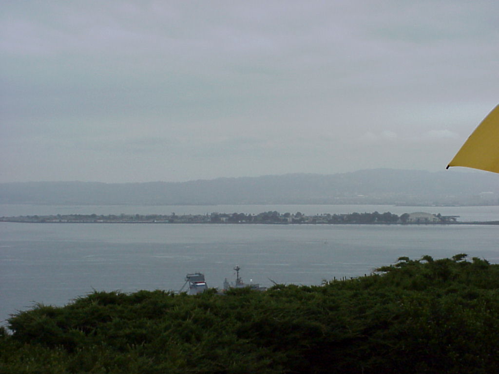
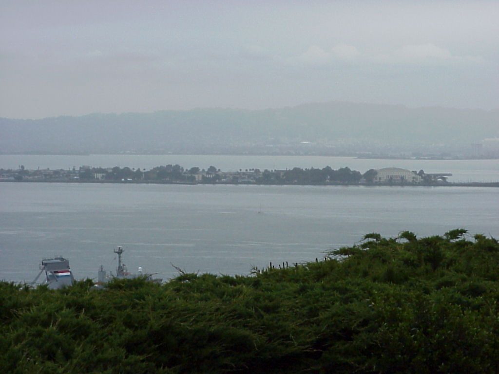
- Picture of the waterway east of the Golden Gate. Other pictures on disk21 are pictures near or at the Golden Gate.
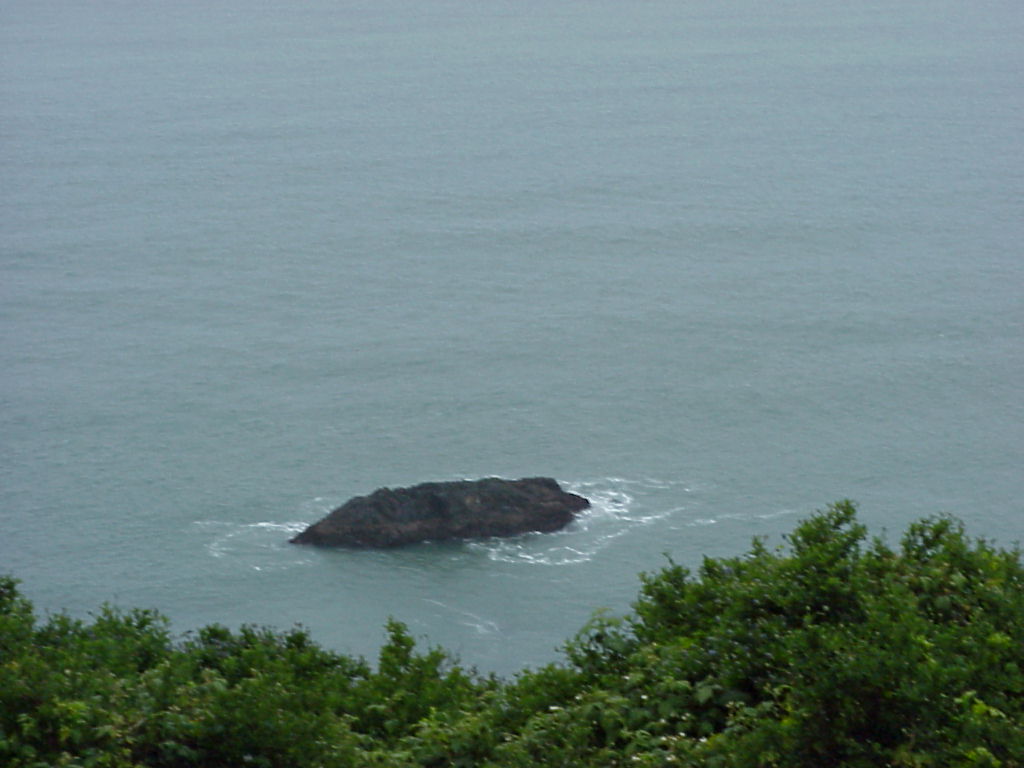
- A rock in the bay west of the Golden Gate Bridge.
- Looking at the Golden Gate from the Presidio park.
- A boat speeding out into the Pacific. Loko closely at the left field of view---you can see where the water is mixing.
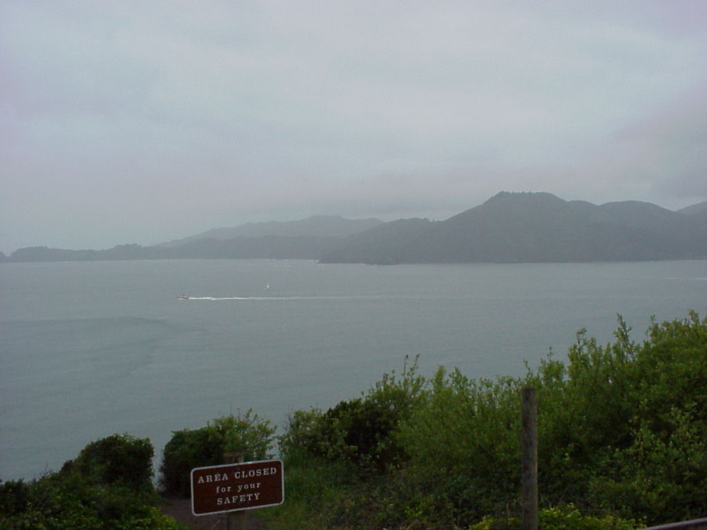
- Looking into the Ocean. You can see the rain was beginning to interfere with photography. You can also see a buoy marking unsafe waters.
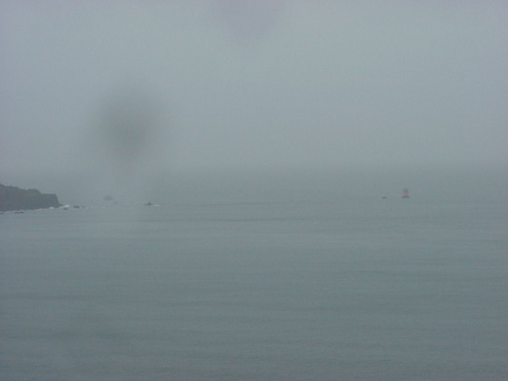
- Looking further into the same inlet.
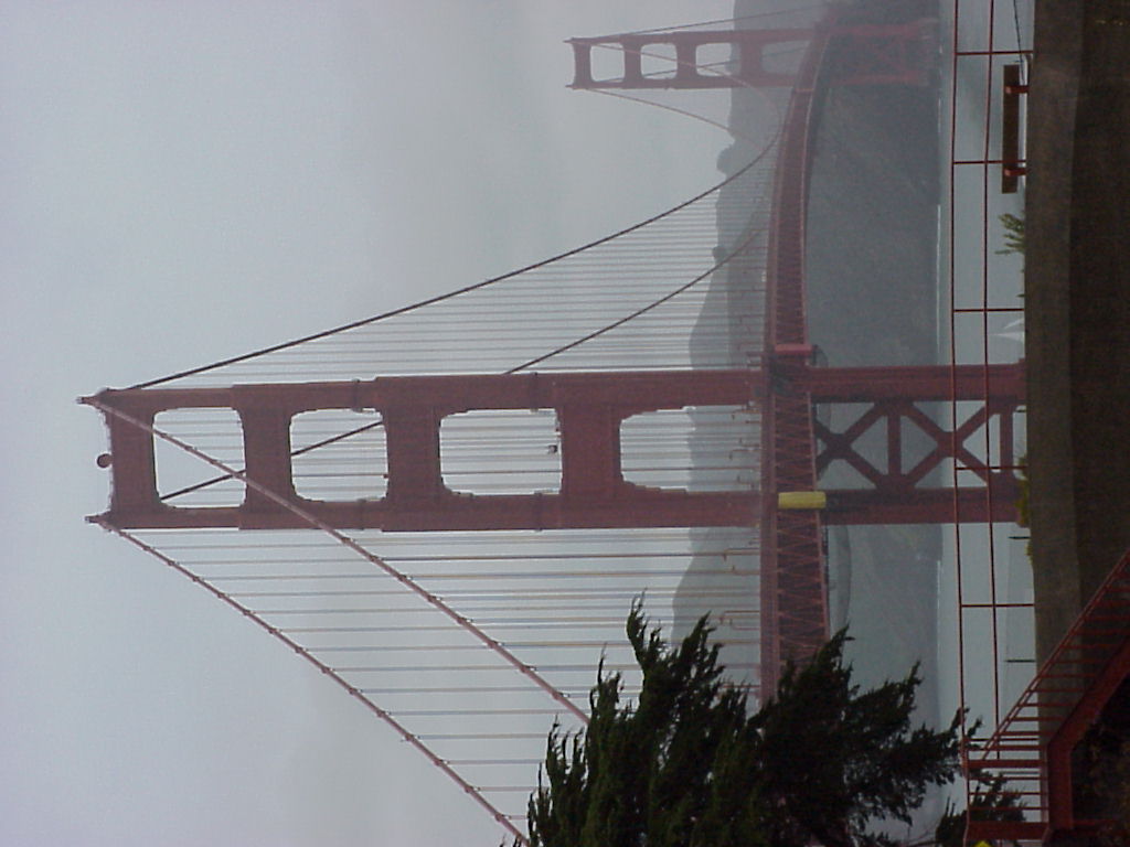
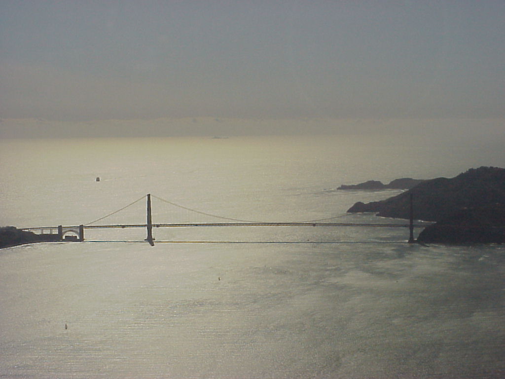
- The Golden Gate Bridge, up close and personal!
- A narrower view of the Golden Gate.
- A tall view of the bridge.
- Bridge trivia for you!
- Jen with the cross-sectin of cable.
- Ever wonder what the inside of those cables looks like?
Coit Tower, continued.
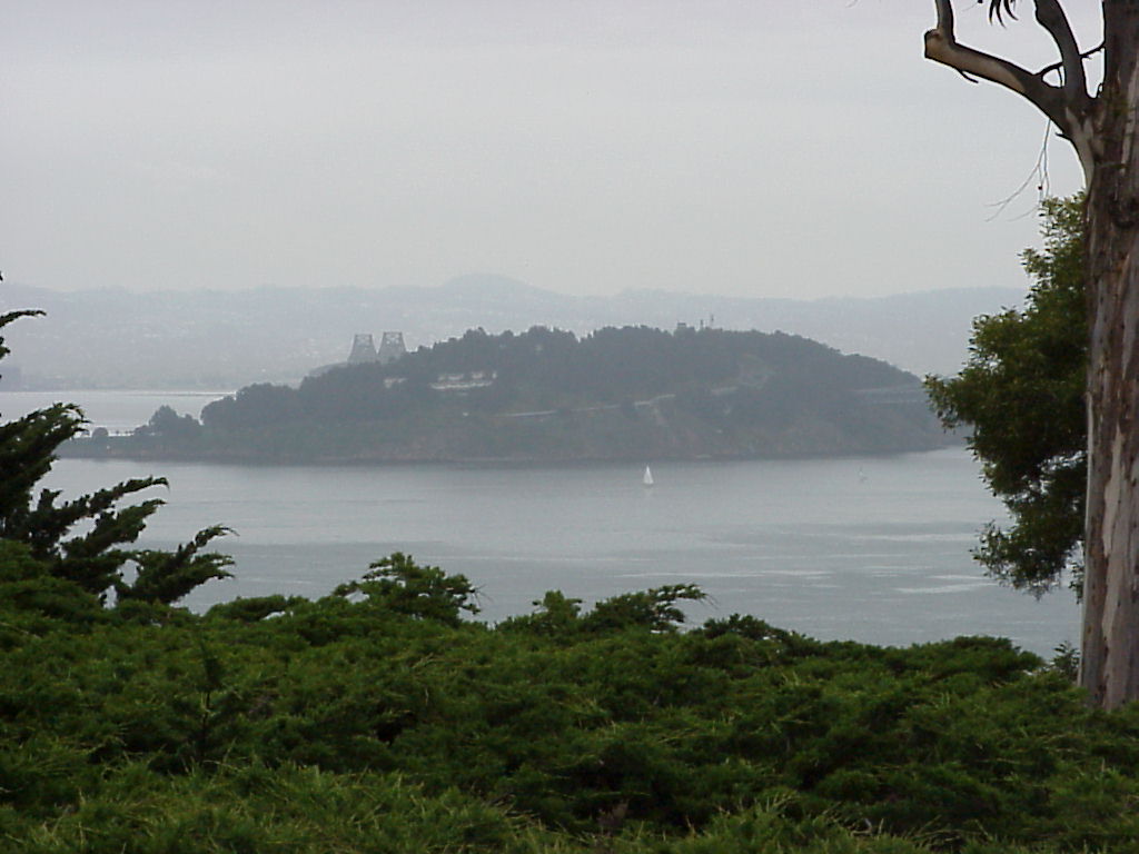
- Treasure Island from the hill with Coit Tower. I thought John said this hill had a name, like "Signal Hill" or "Telegraph Hill" or something.
- Treasure Island.
- Treasure Island with a bridge peeking over the top :)
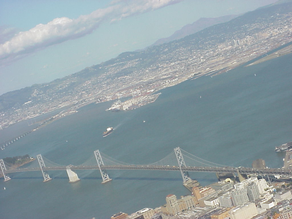
- The Bay Bridge.
- A tanker just beyond the Bay Bridge.
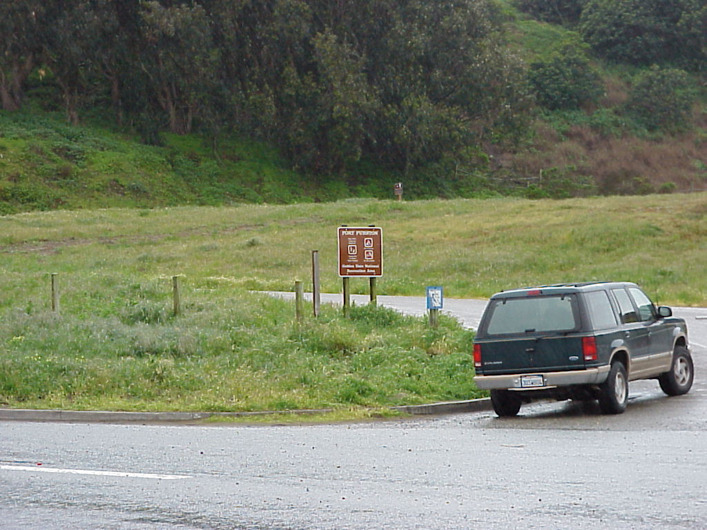
On the Driving Tour
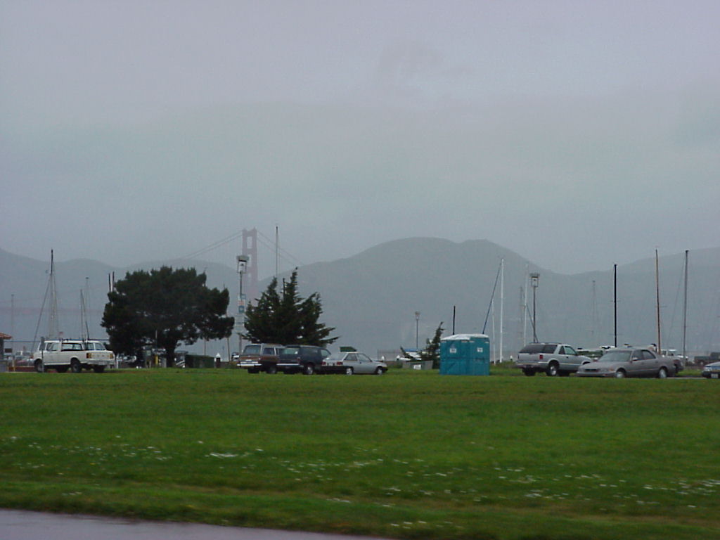
- Along the bay... I was trying to get a little lighthouse-looking thing but instead got the port-o-lets. Captain James T. Kirk was here in Star Trek IV: The Voyage home The audience was to believe it was the same place the ship set down, but that was Golden Gate Park a mile or two away. "Vhere do you keep your Wessels?"
- The shot of the lighthouse-looking thing.
- Further down the road.
- Help me out here, further down the road.
- A blurry shot of the medical building at the Presidio.
- A clear shot of the medical building, blocked by trees.
- The best shot I have of the medical building.
More Grace Cathedral
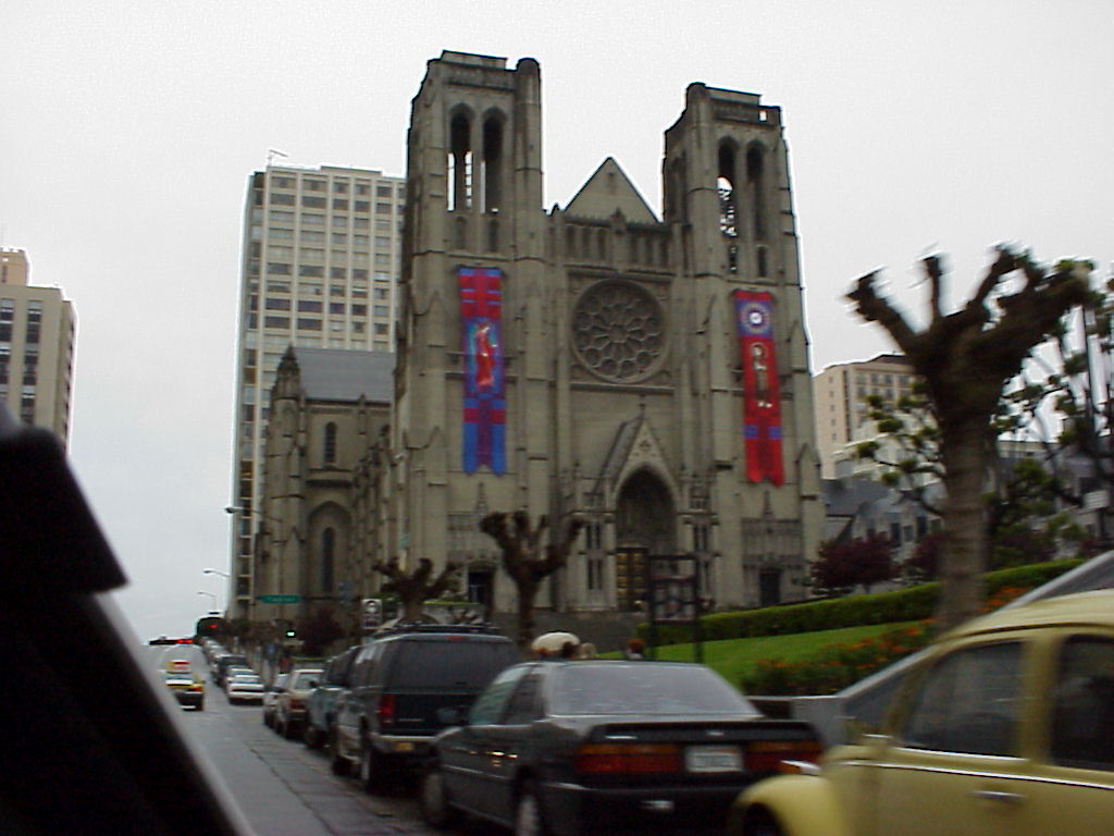
- Front face of Grace Cathedral from the street.
- The Front of the Cathedral in better focus!
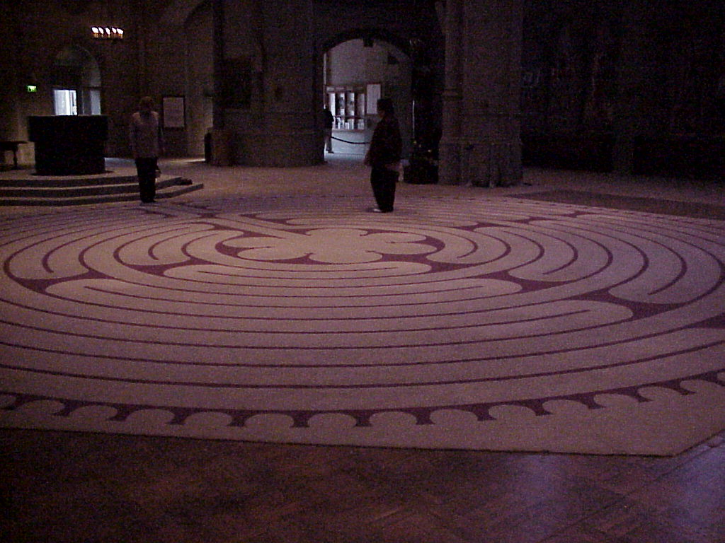
- Approaching the labyrinth.
- Looking back above the entrance, I think.
- A tapestry on the wall. It's there, but you might need to brighten it. This is image source. One day, if I find suitable tools, such as the GIMP, and have time, I may brighten it myself. Or maybe I'll let Jen try some magic with a tool she found.
- The labyrinth.
- Stained glass on the wall.
- More lovely stained glass. I should have jen make thumbnails.
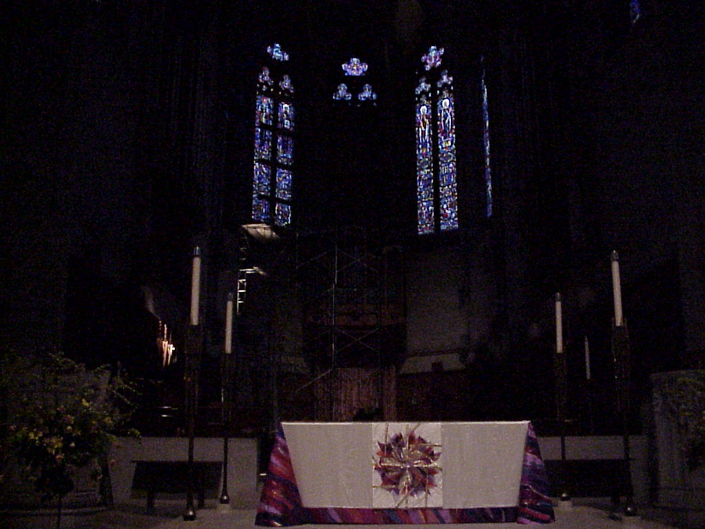
- The altar.
The driving tour
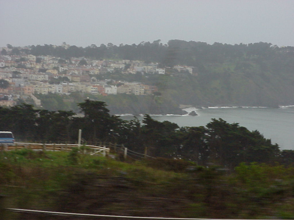
- Taken from a point west of the Golden Gate inside the Presidio, looking out over Seacliff.
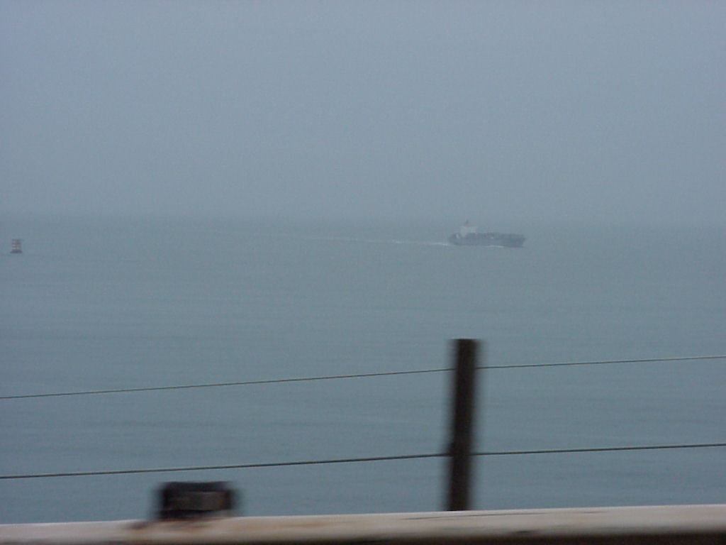
- Remember our buoy? Well, that's it on the left. And a cargo ship approaching San Francisco on the right.
- A horrible blurry driving shot of some otherwise very nice conifers.
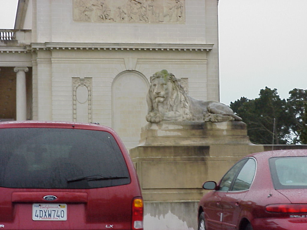
- John, what was this?
- And this?
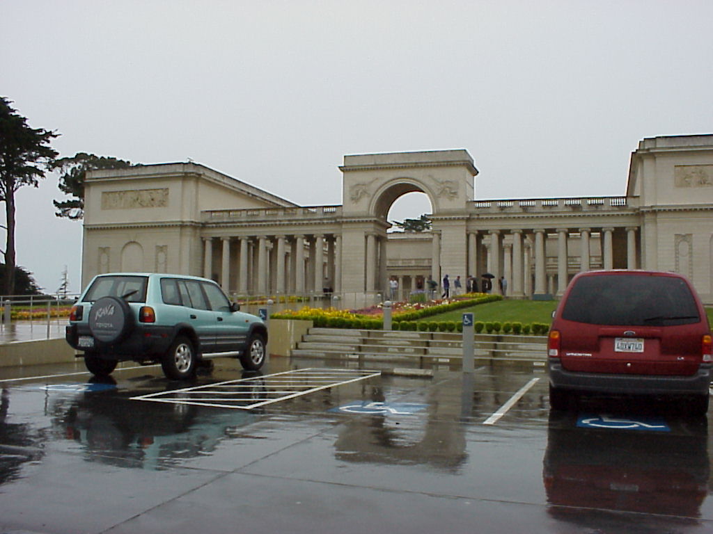
- And of course this? Something about the Legion of Honor?
- Legion of honor?
- They made me roll up the windows... I wanted to get this tree and the park, but we were moving too quickly anyway, so instead here's a nice shot of Jen's hat reflecting in the rental car window!
- More of the park on the driving tour.
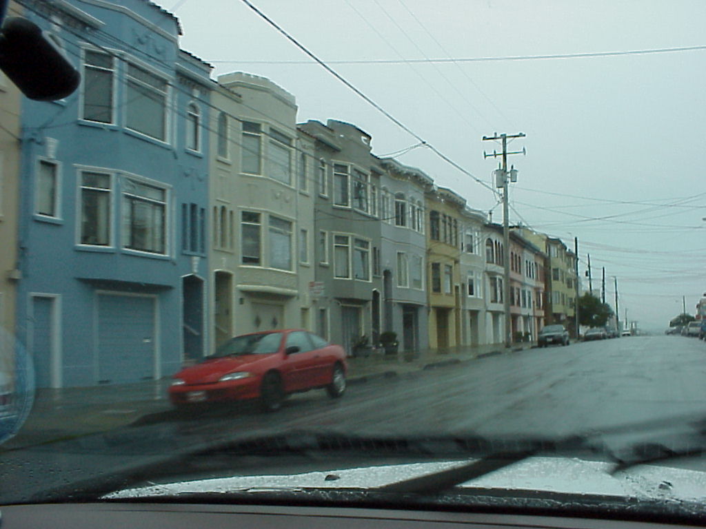
- En route to the ocean, look at the cute little row houses.
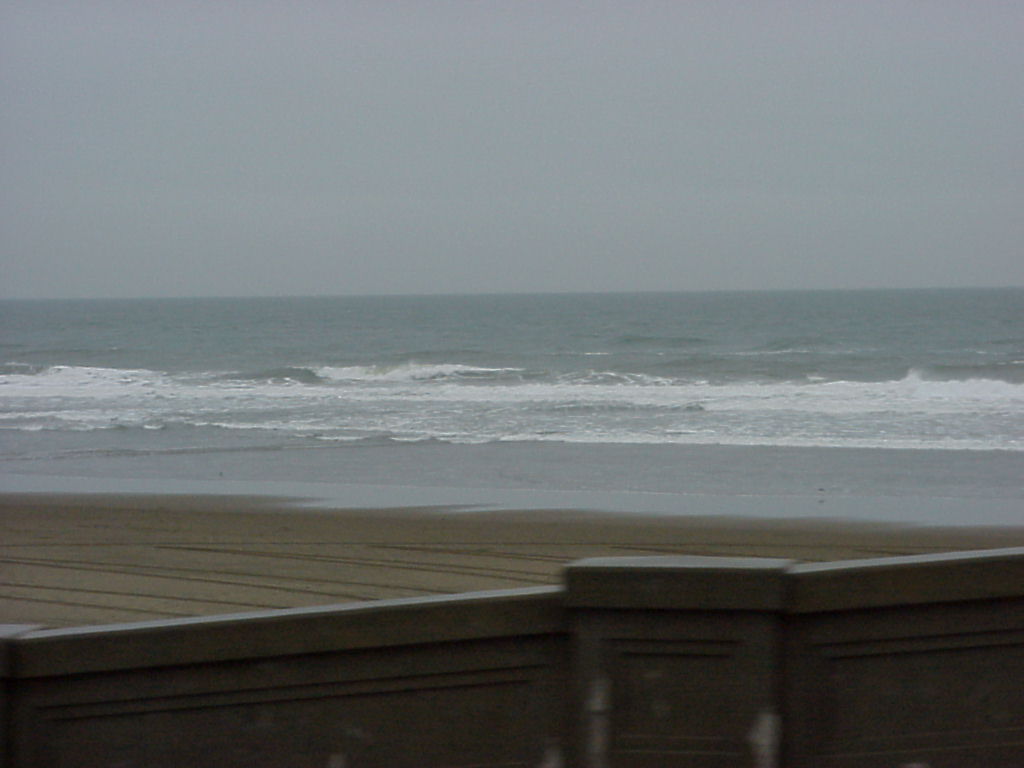
- What a beach! (blurry...)
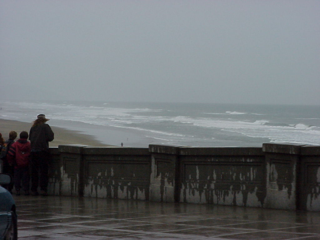
- People watching the ocean.
- The waves rolling in.
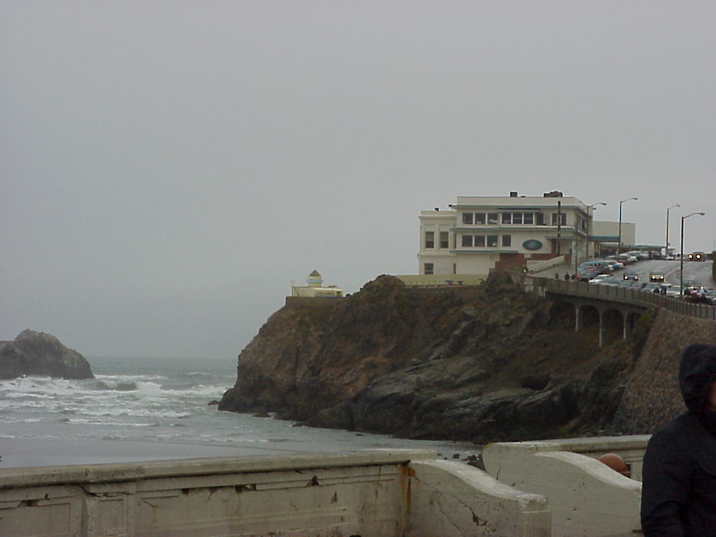
- Cliff house and the rocks near the shore.
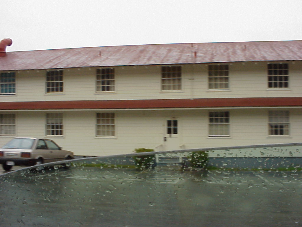
- Military housing at the Presidio.
- A building at the Presidio.
- Officer's quarters at the Presidio.
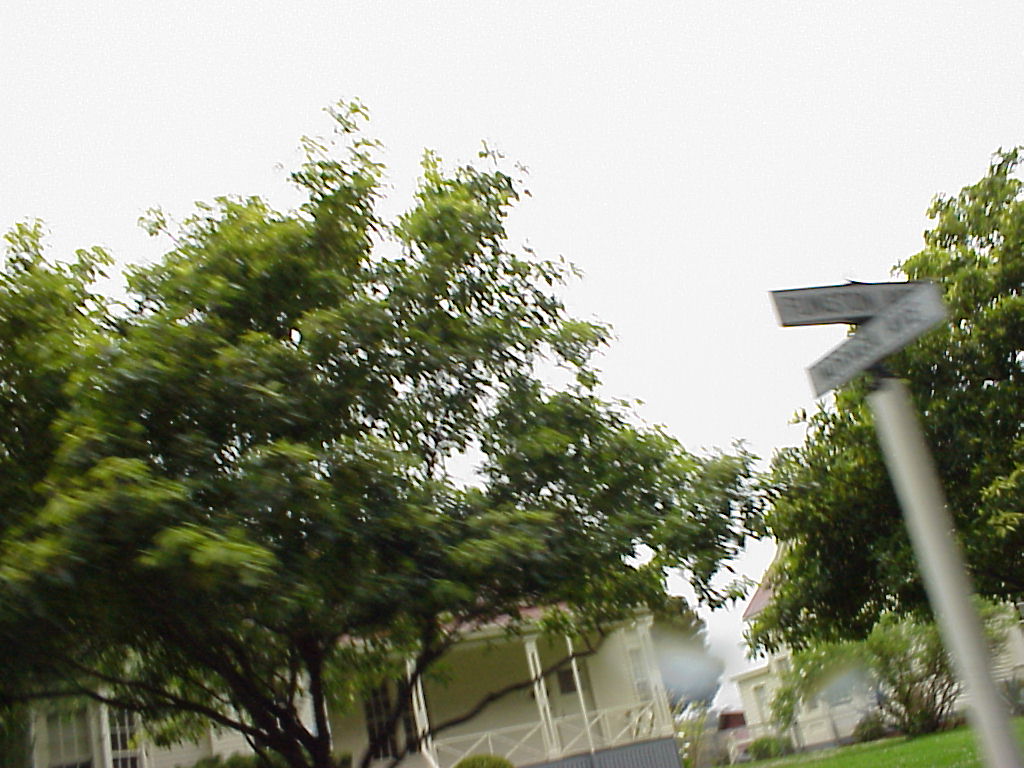
- A blurry sign for Funston Ave. I thought this was funny.
- Barracks :)
- The Stars and Bars.
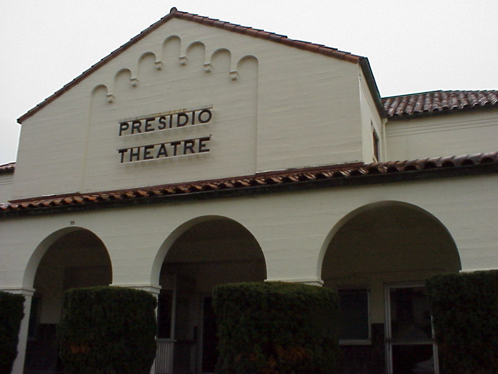
- The Presidio Theatre.
- Leaving the populated part of the Presidio.
- Trees!
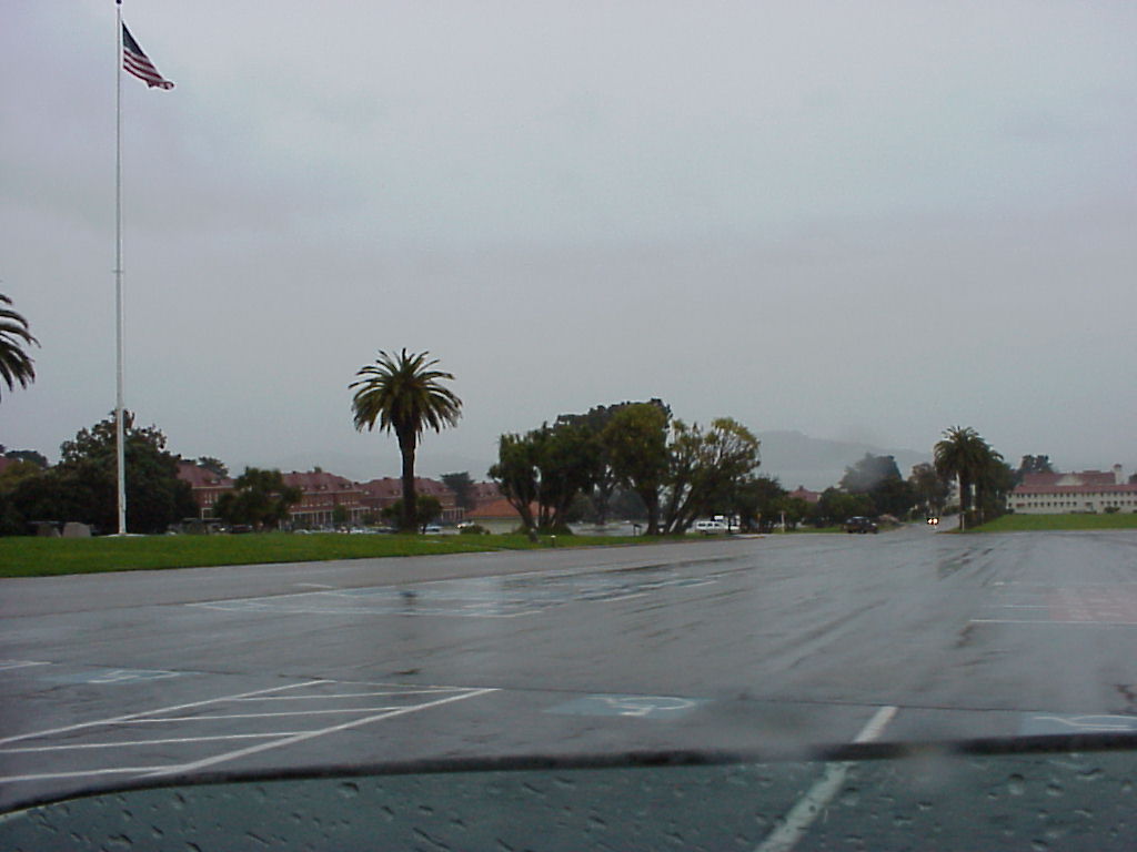
- Looking over the airfield at the Presidio.
- A better shot of the airfield.
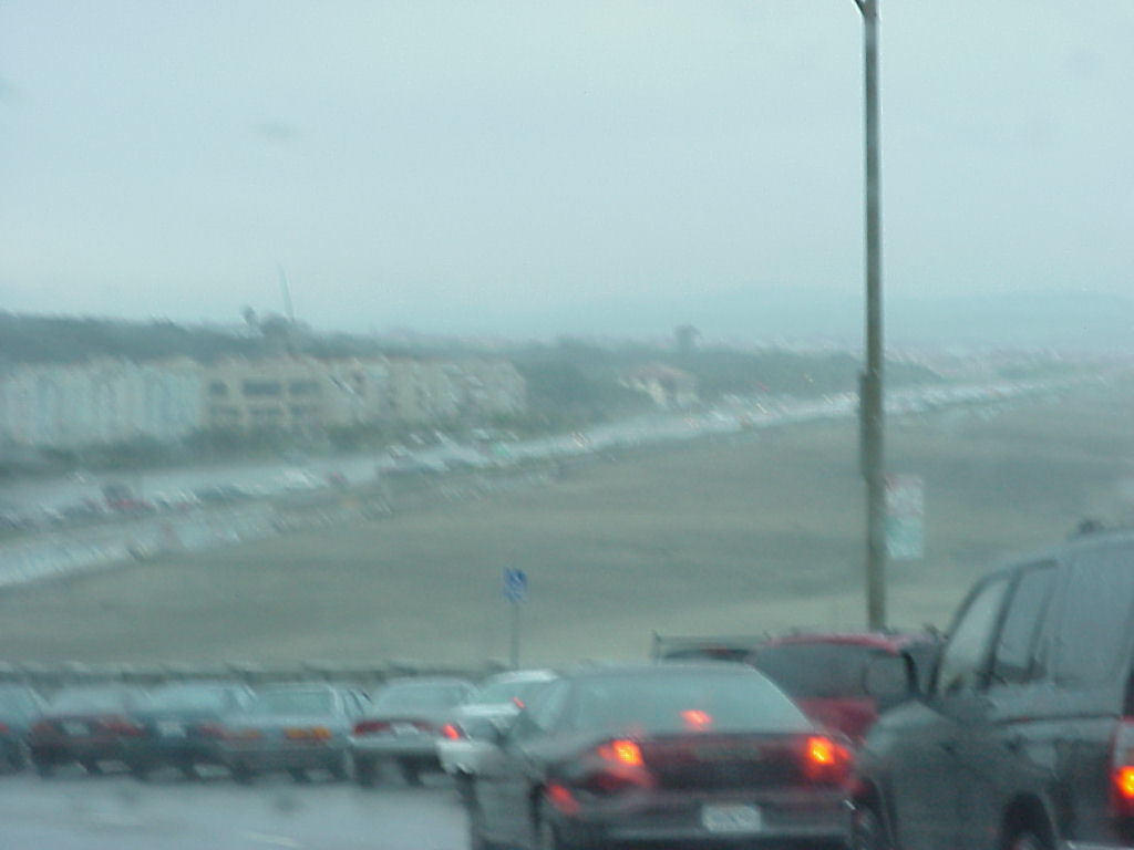
- Cliff house, taken from a parking lot at Ocean Beach.
- Rocks in the Ocean.
- Rocks in the Ocean, take 2.
- Waves crashing.
- Oceanfront property.
- Waves rolling in.
- Fort Funston. I thought this was funny for the same reason as I thought Funston Avenue was funny. :)
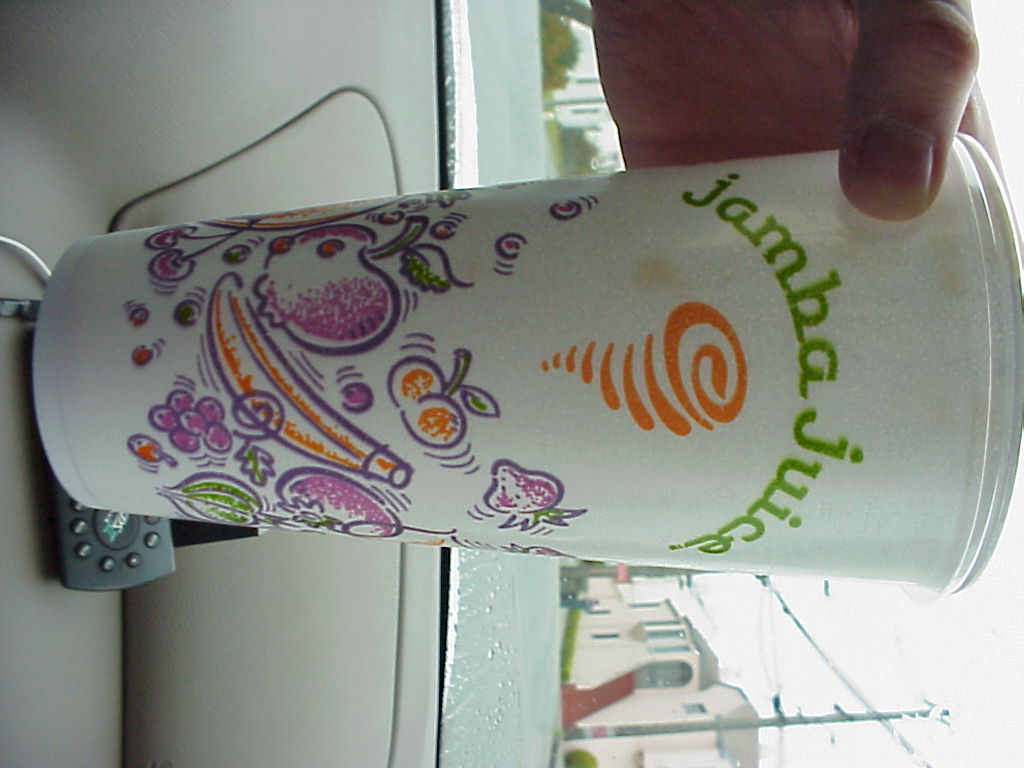
- Jamba Juice. 'Nuff Said. Also note the Garmin GPS II Plus navigational receiver.
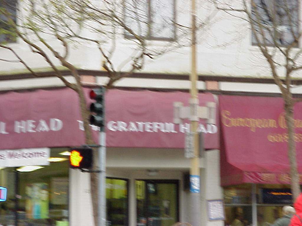
- The Grateful Head
The Driving Tour: Twin Peaks (or, how to take digital pictures without batteries.)
- Looking eastward.
- Looking SSW.
- Looking NNW?
- Looking pierward (ENE)
- View of downtown SF from Twin Peaks, looking roughly north. Market street is center. These Twin Peaks pictures were taken while both my batteries for the Mavica were near zero charge. I had thought the spare was charged up. Fortunately, I had charging equipment in the car, so I kept switching out quickly.
- Looking further west
- Looking at our ascent.
- The Golden Gate, through the haze. Taken from Twin Peaks.
- Sure do wish I knew what that building in the center was. The larger, white one with the big hill many blocks behind it.
- The bright light center field (looks like its out in the bay) is Candlestick, er, 3COM Park.
- The Bay Bridge and friends from the Twin Peaks.
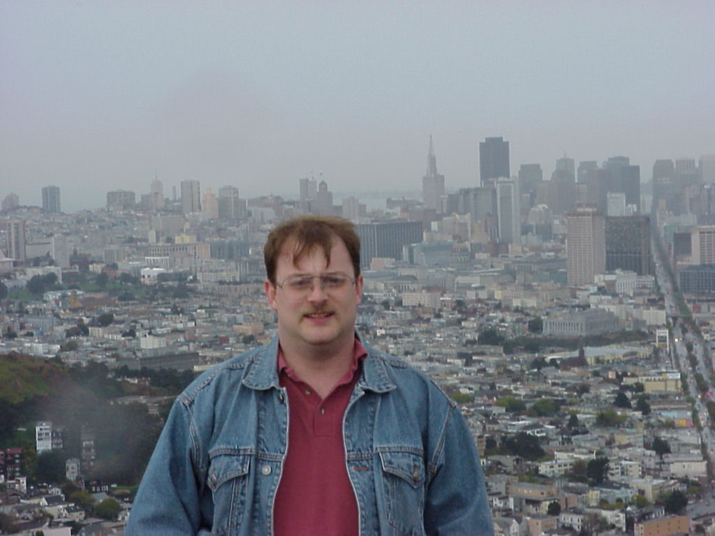
- Ack! Who is that freak standing in front of the TransAmerica Pyramid and what's happened to his hair?
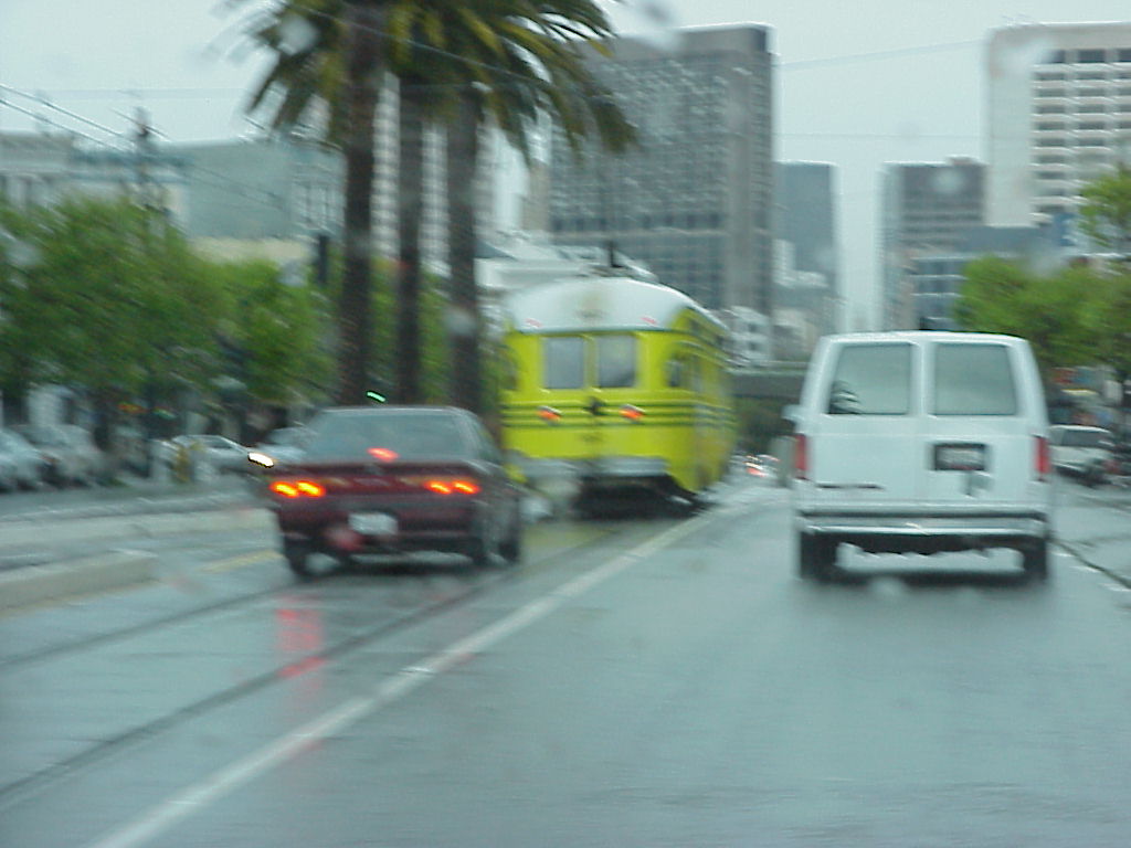
- Big yellow-green streetcar.
- The side of the big yellow-green streetcar, and Jen's hat.
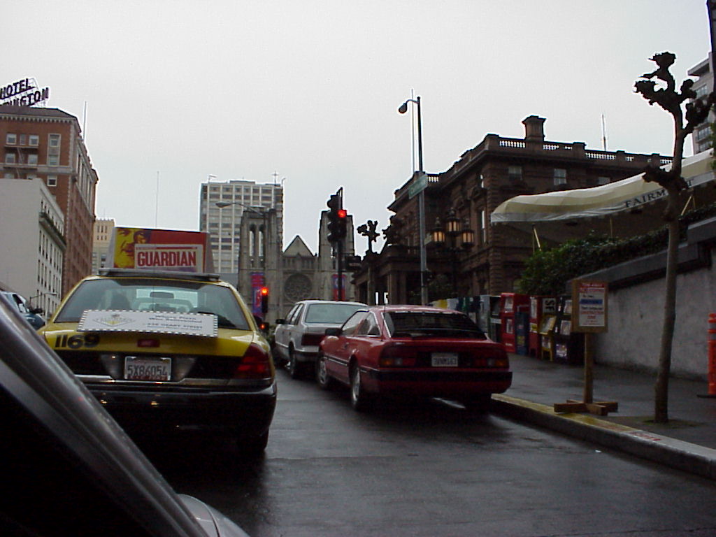
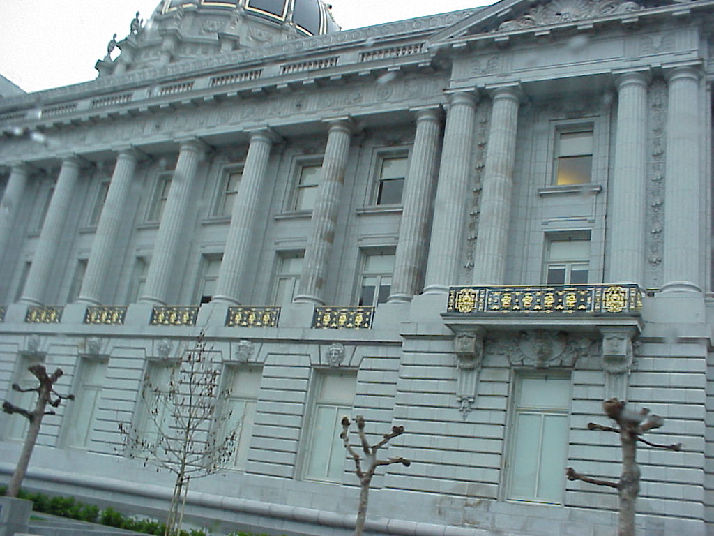
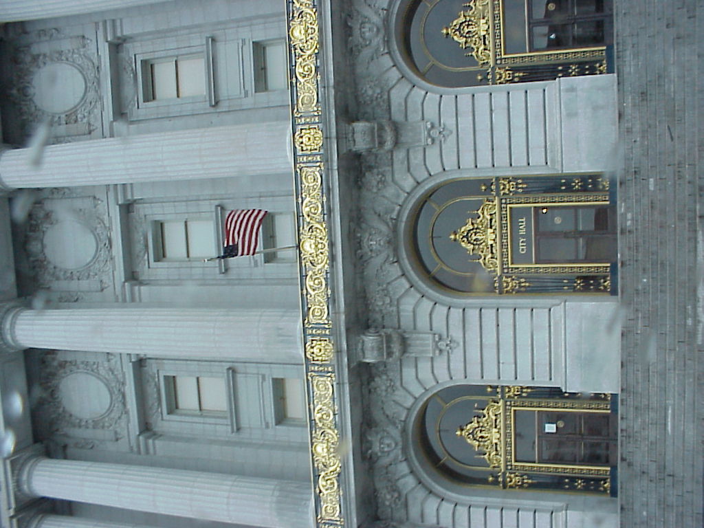
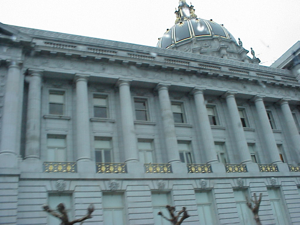
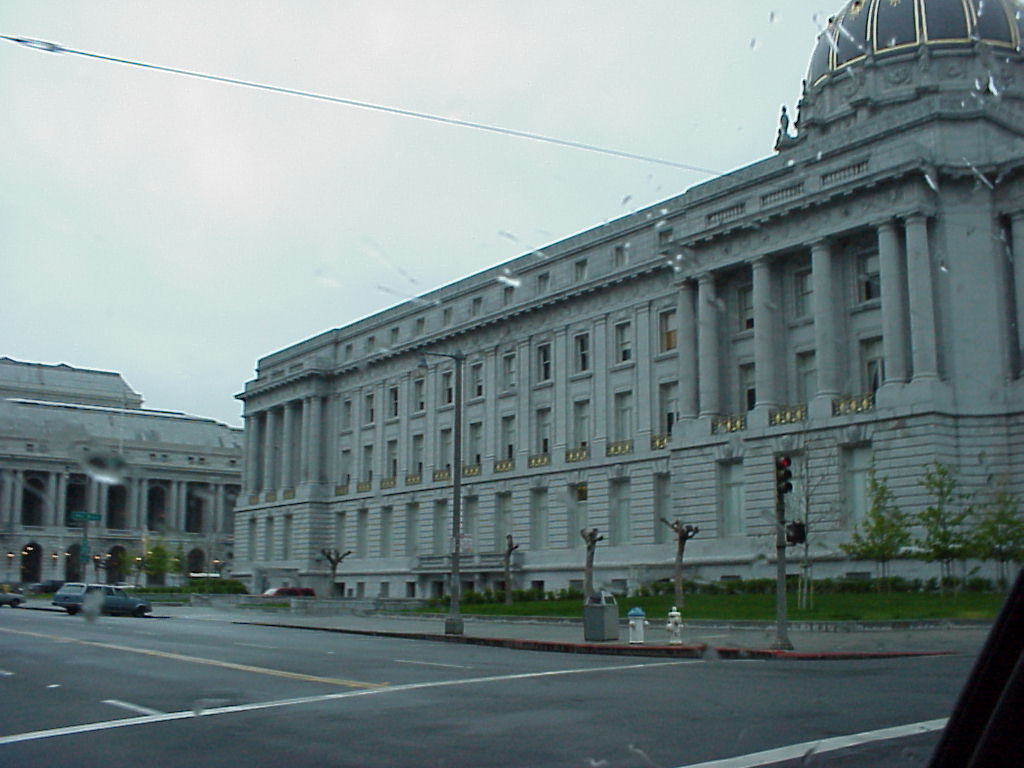
- City Hall
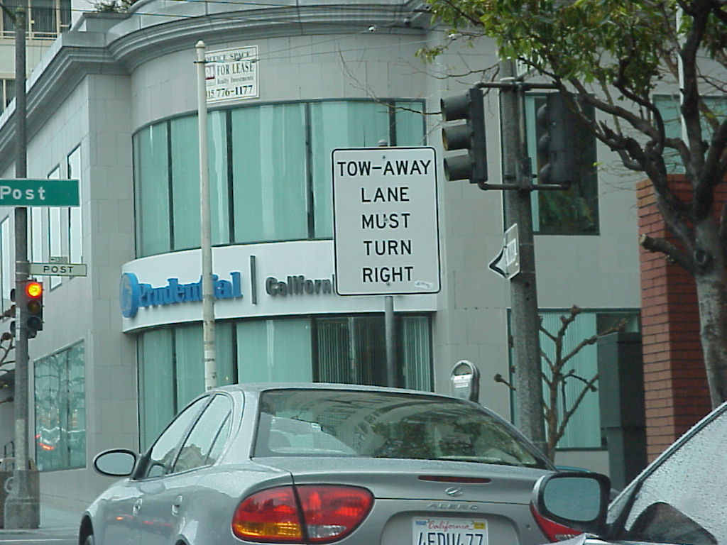
- Tow Away Lane must turn Right. Approach to Grace Cathedral.
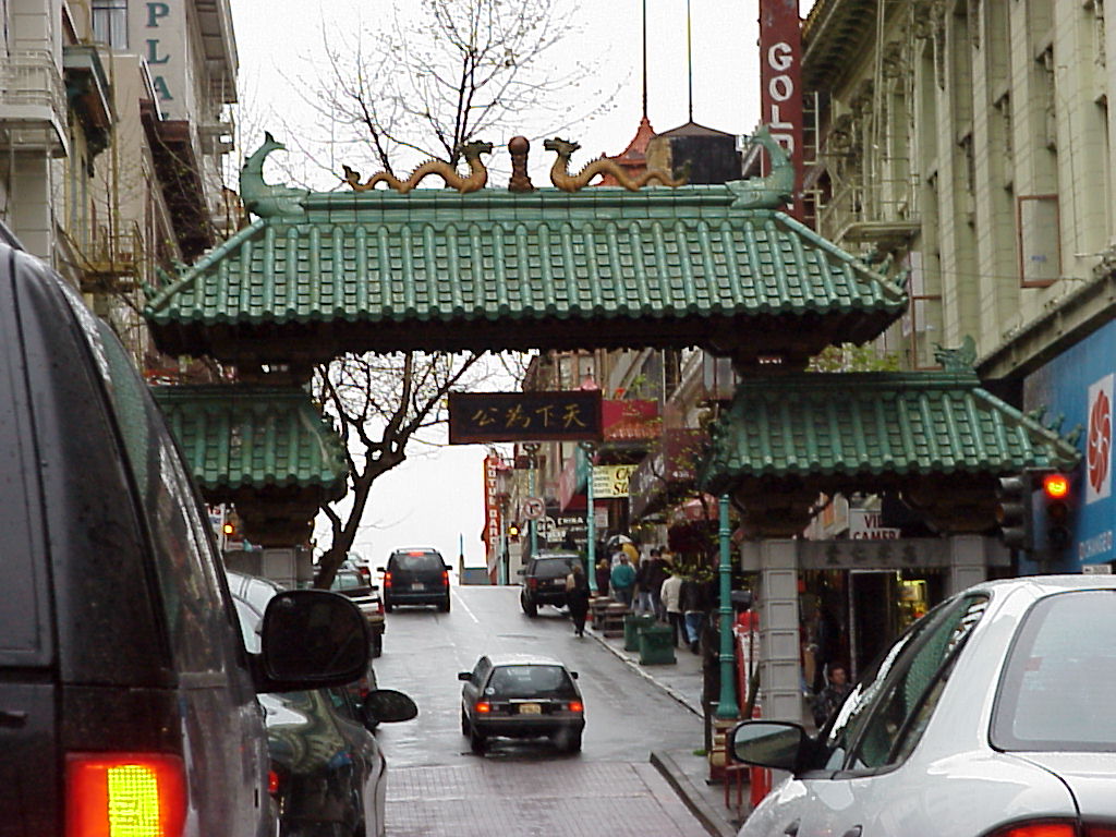
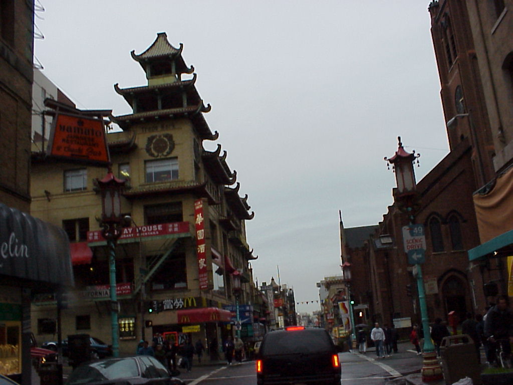
The Driving Tour: ChinaTown
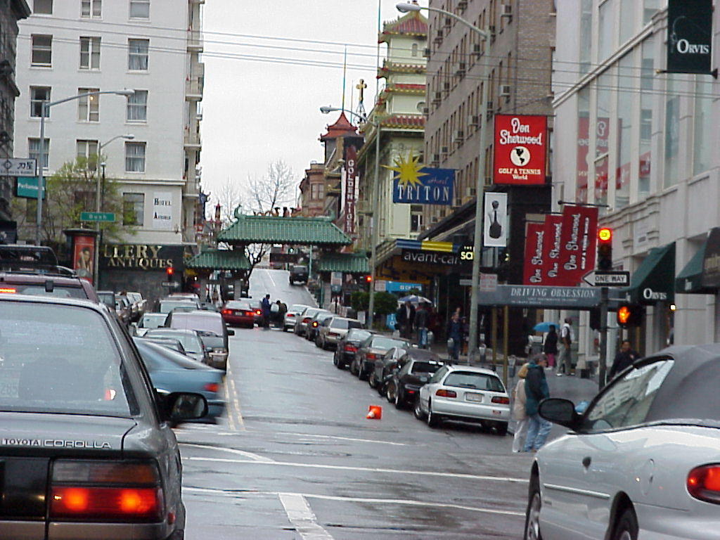
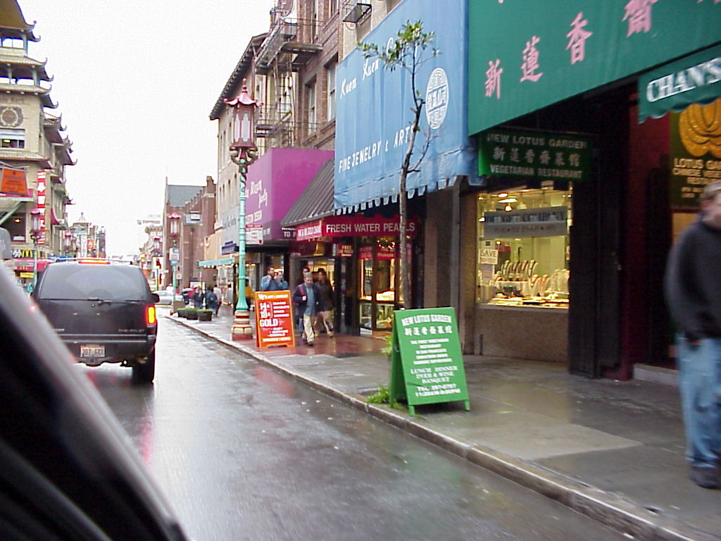
- Whoa! It's ChinaTown!
- Whoa! It's in-focus!
- ChinaTown, up close and personal.
- A street lamp, in ChinaTown.
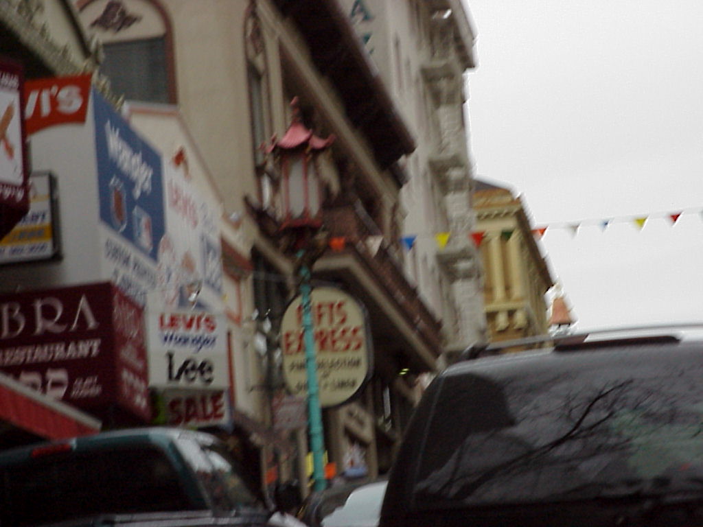
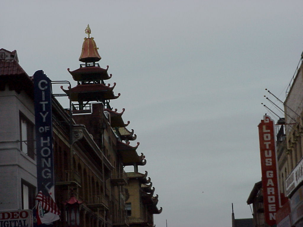
- Neat buidling in ChinaTown.
- Street scene in ChinaTown.
- Chinese McDonald's.
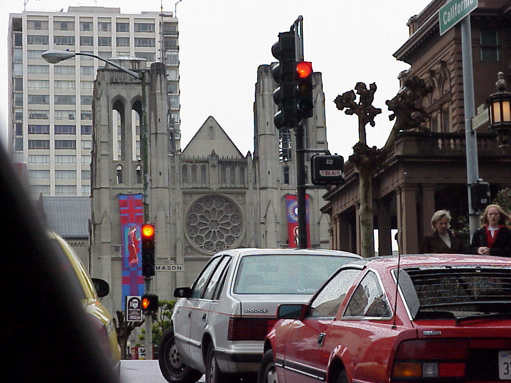
Grace Cathedral
- Approaching Grace Cathedral.
- Just one more block...
- Stained glass at Grace Cathedral
- ./disk29/mvc-002x.jpg
- ./disk29/mvc-003x.jpg
- ./disk29/mvc-004x.jpg
- ./disk29/mvc-005x.jpg
- ./disk29/mvc-006x.jpg
- ./disk29/mvc-007x.jpg
- ./disk29/mvc-008x.jpg
- ./disk29/mvc-009x.jpg
- ./disk3/mvc-001x.jpg
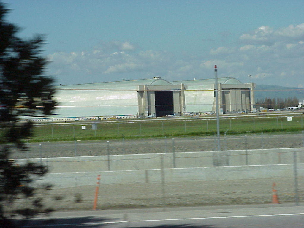
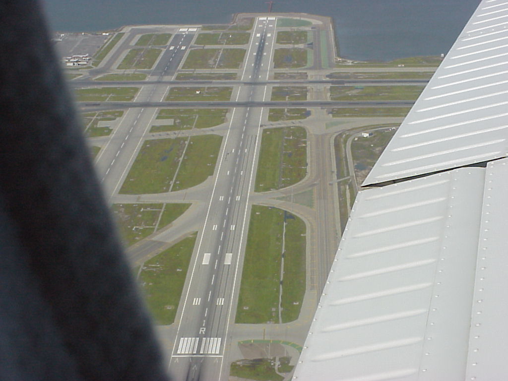
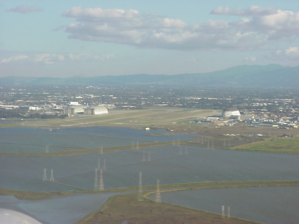
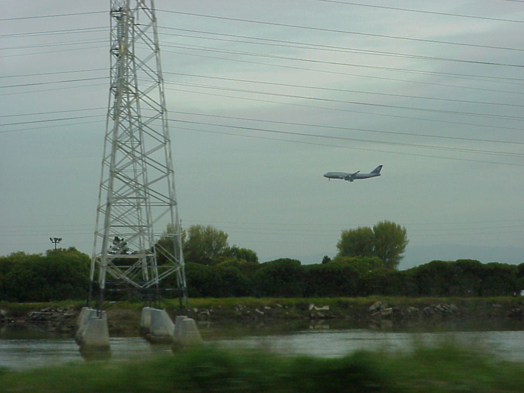
- Hangars at Moffett Federal Airfield (formerly Moffett NAS)
- ./disk3/mvc-003x.jpg
- disk3/#4
- ./disk3/mvc-005x.jpg
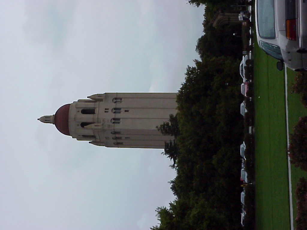
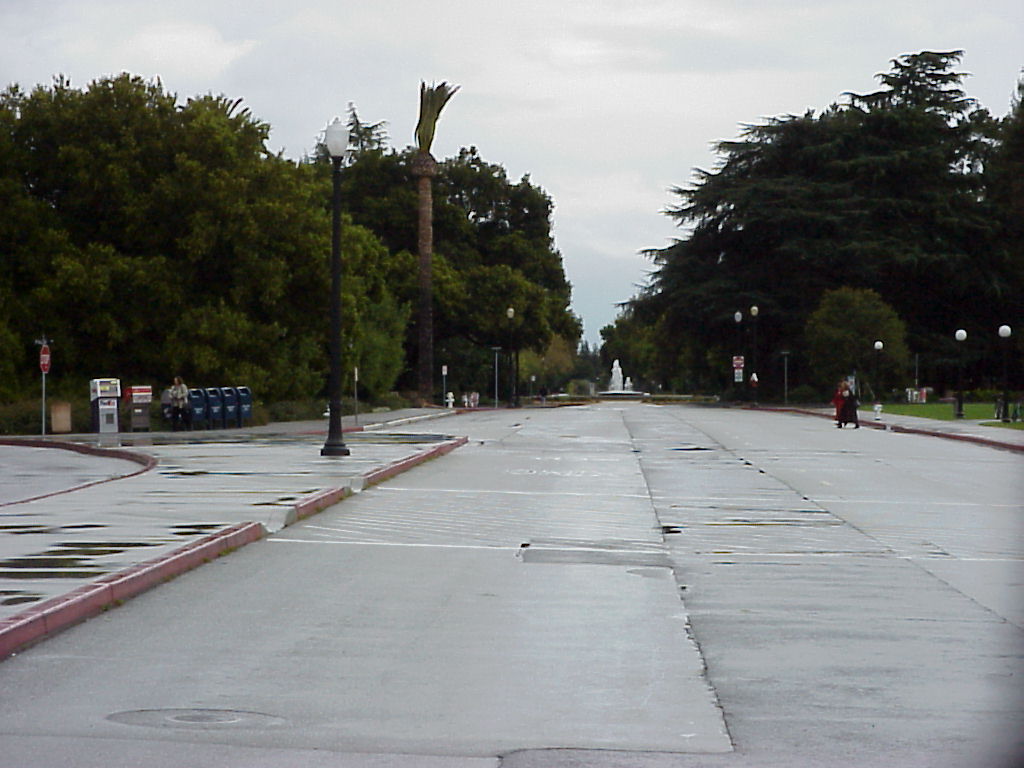
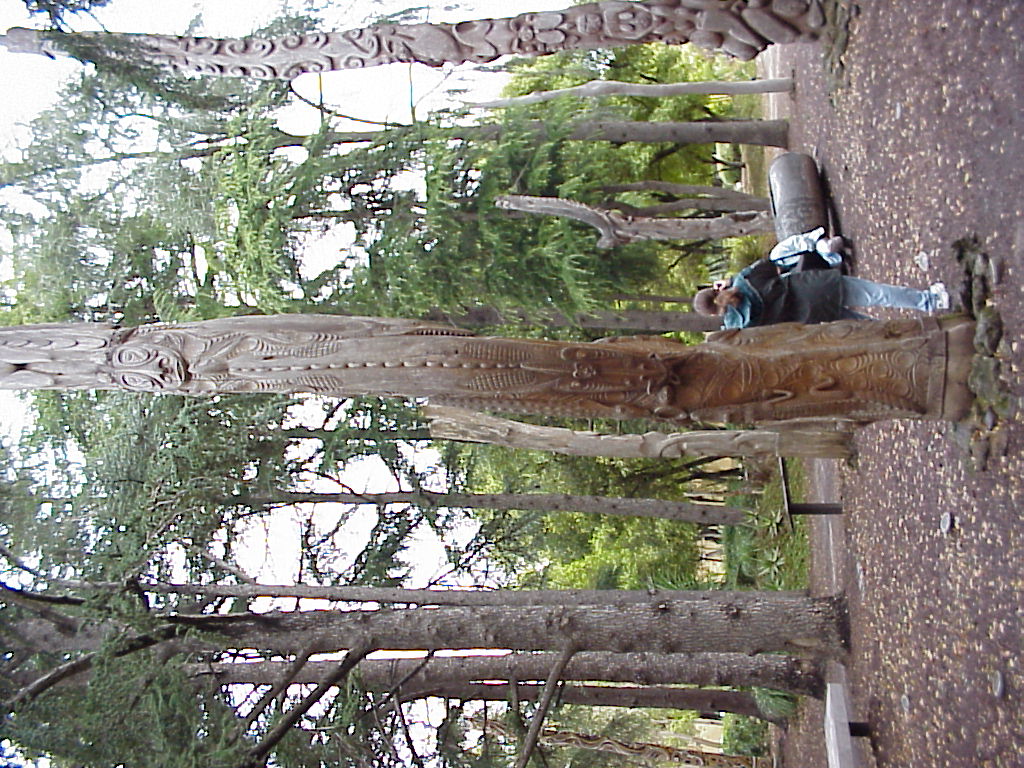
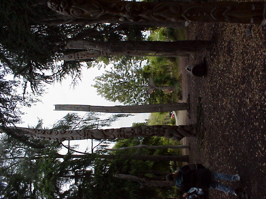
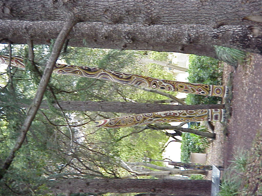
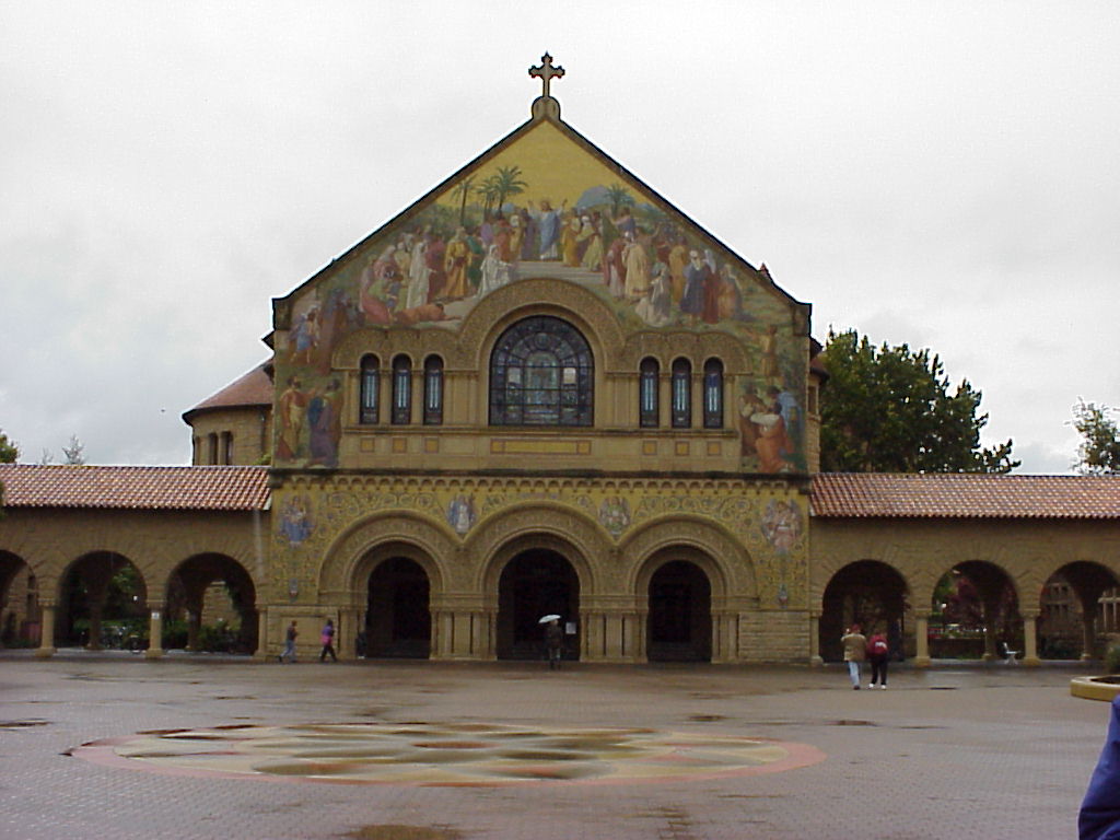
- Stanford, Tiki Garden
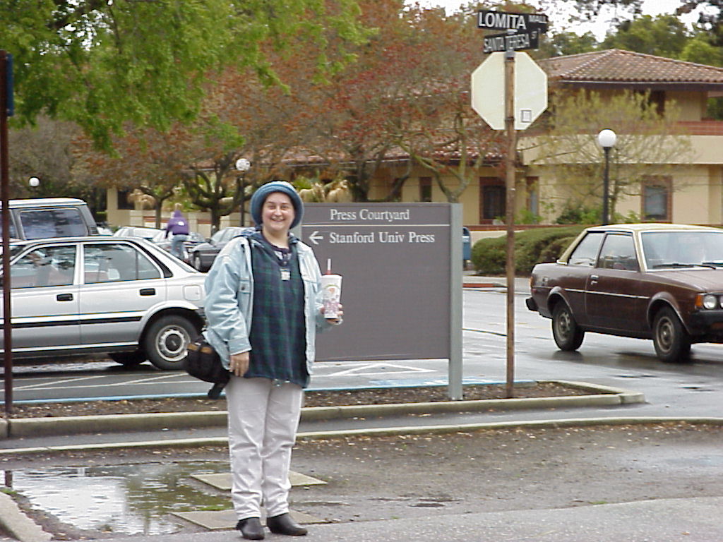
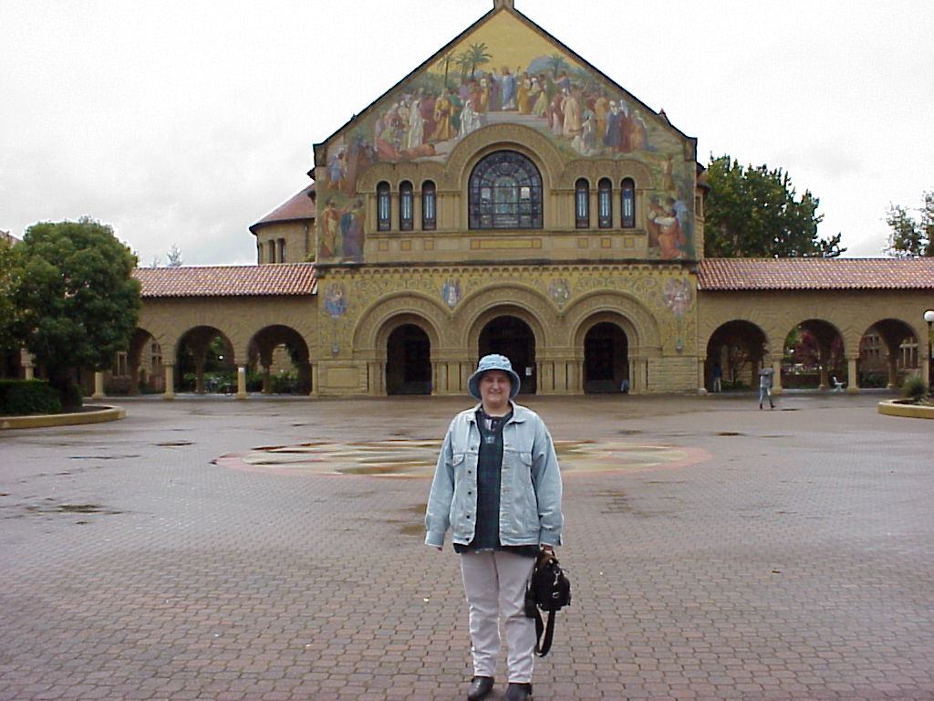
- Jen looking very Smug, posing with a Jamba Juice at the sign for Stanford University Pres.
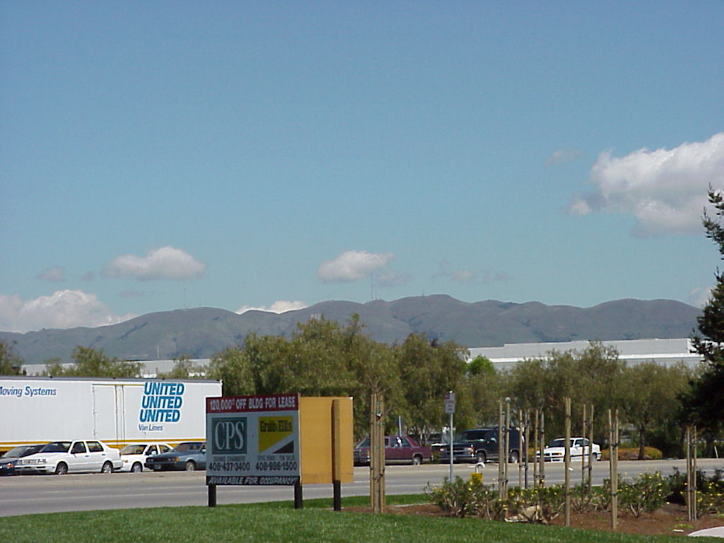
- A random shot from the 101.
- ./disk31/mvc-002x.jpg
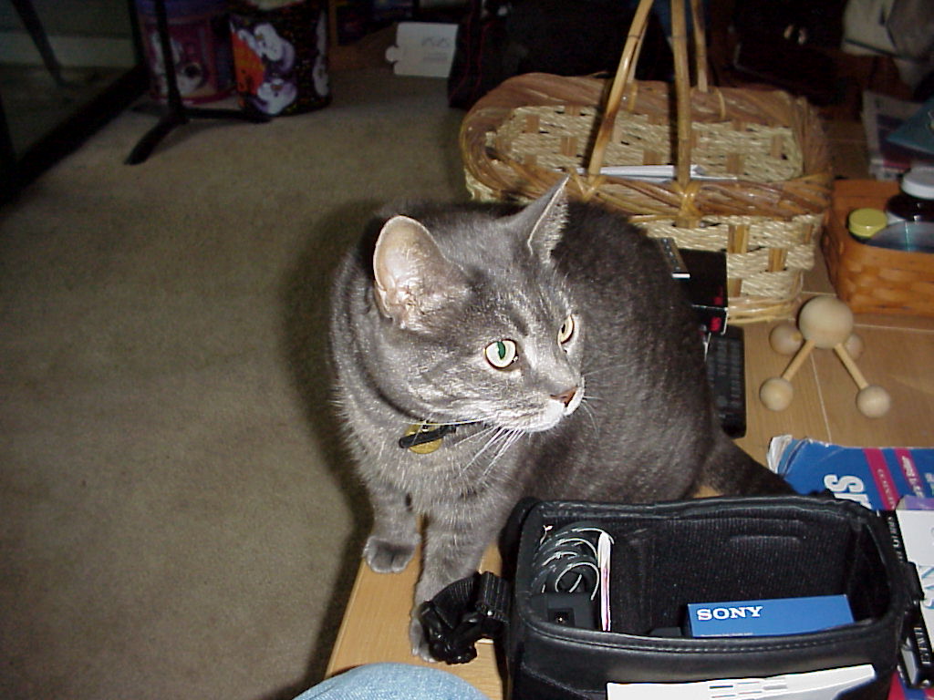
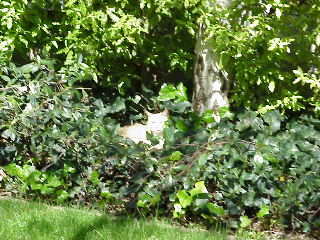
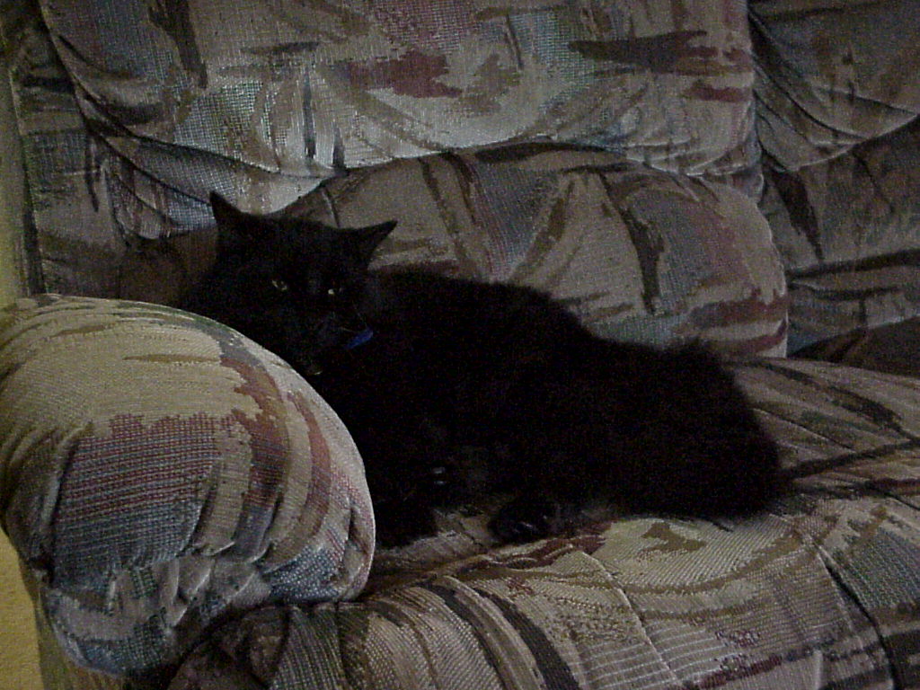
- Satori, Psycho-kitty looking comfortable.
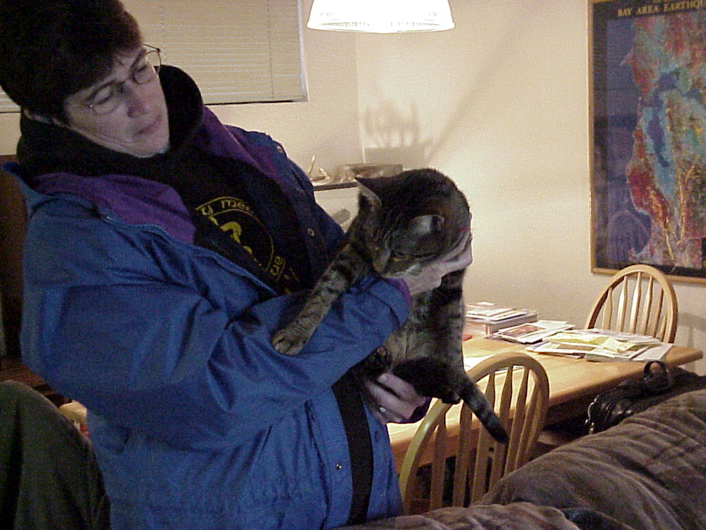
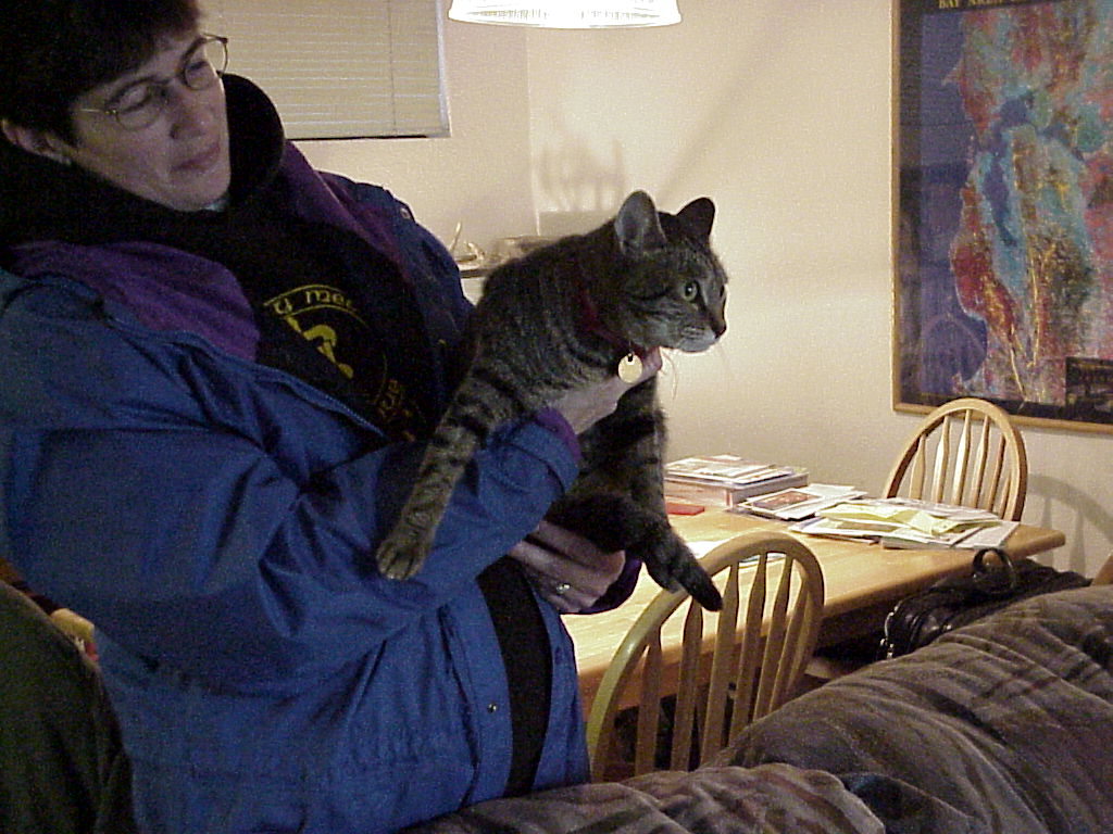
- Maureen and Guini.
- ./disk31/mvc-005x.jpg
- ./disk31/mvc-006x.jpg
- ./disk31/mvc-007x.jpg
- ./disk31/mvc-008x.jpg
- ./disk31/mvc-009x.jpg
- ./disk31/mvc-010x.jpg
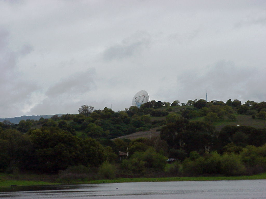
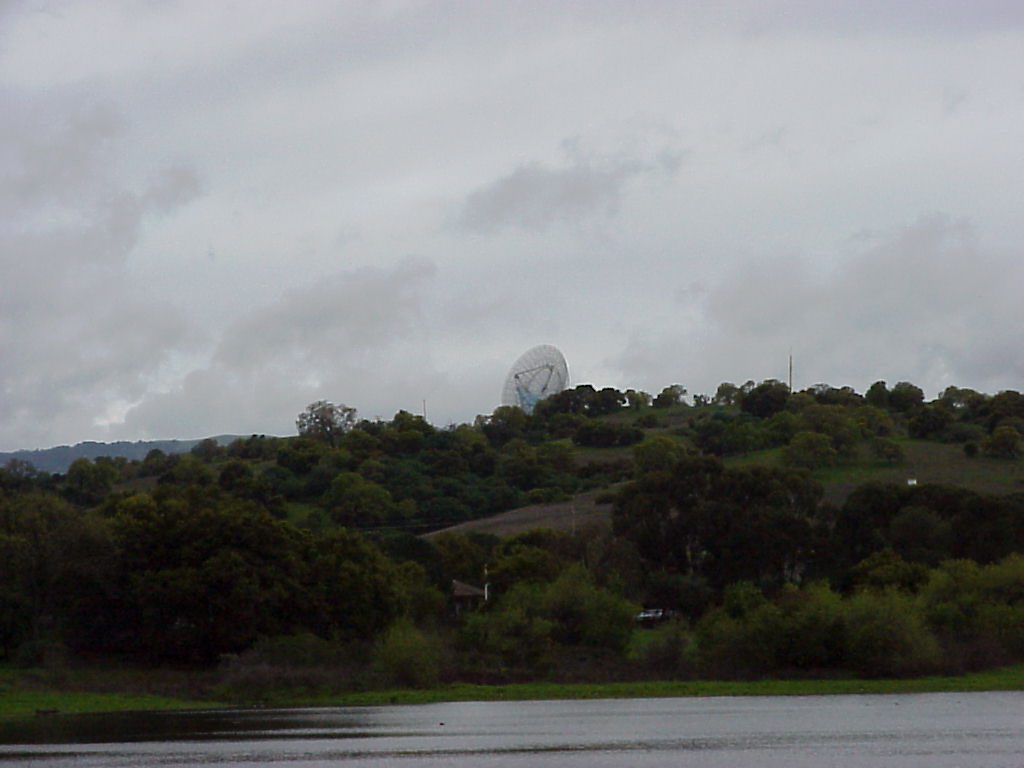
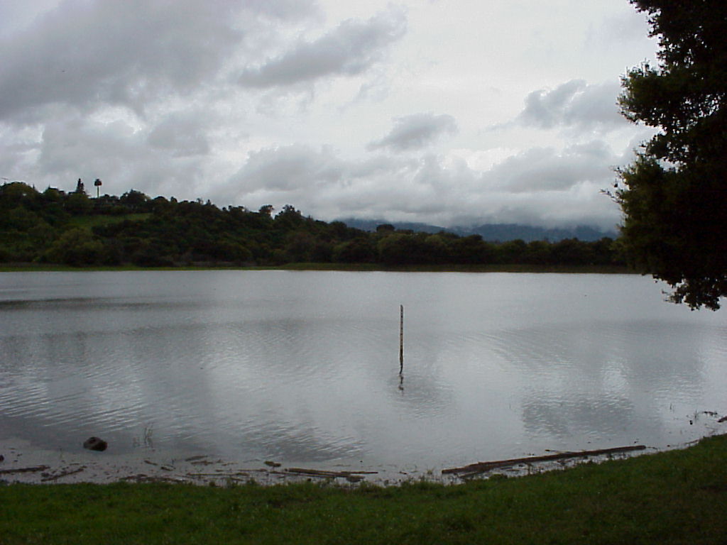
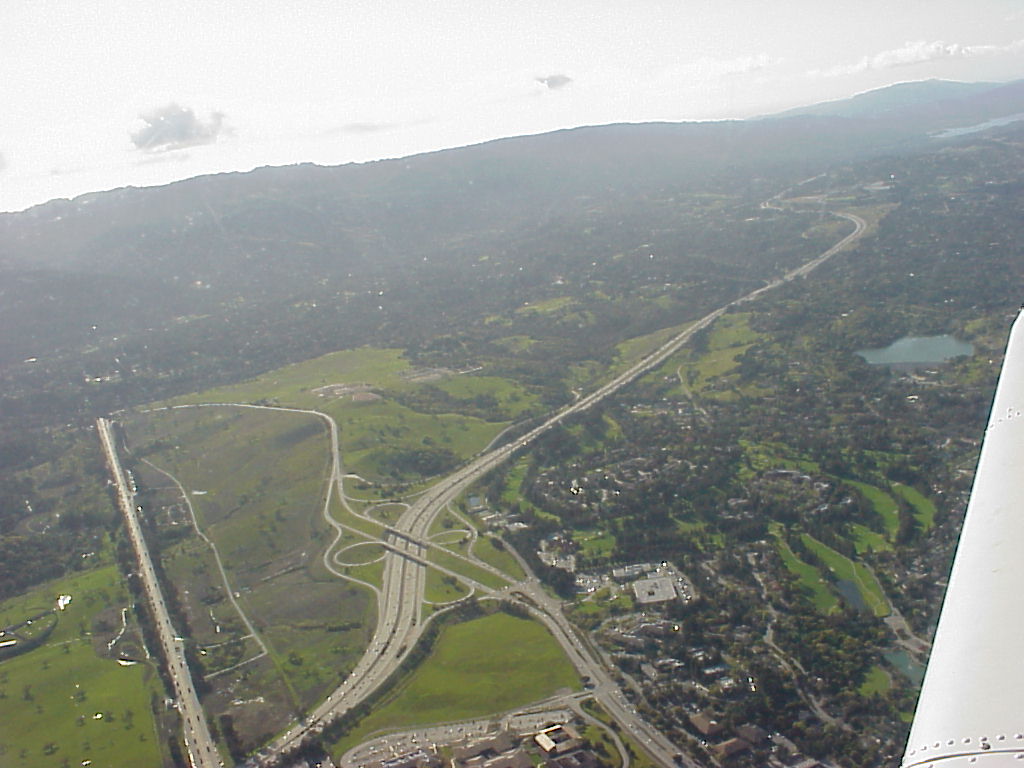
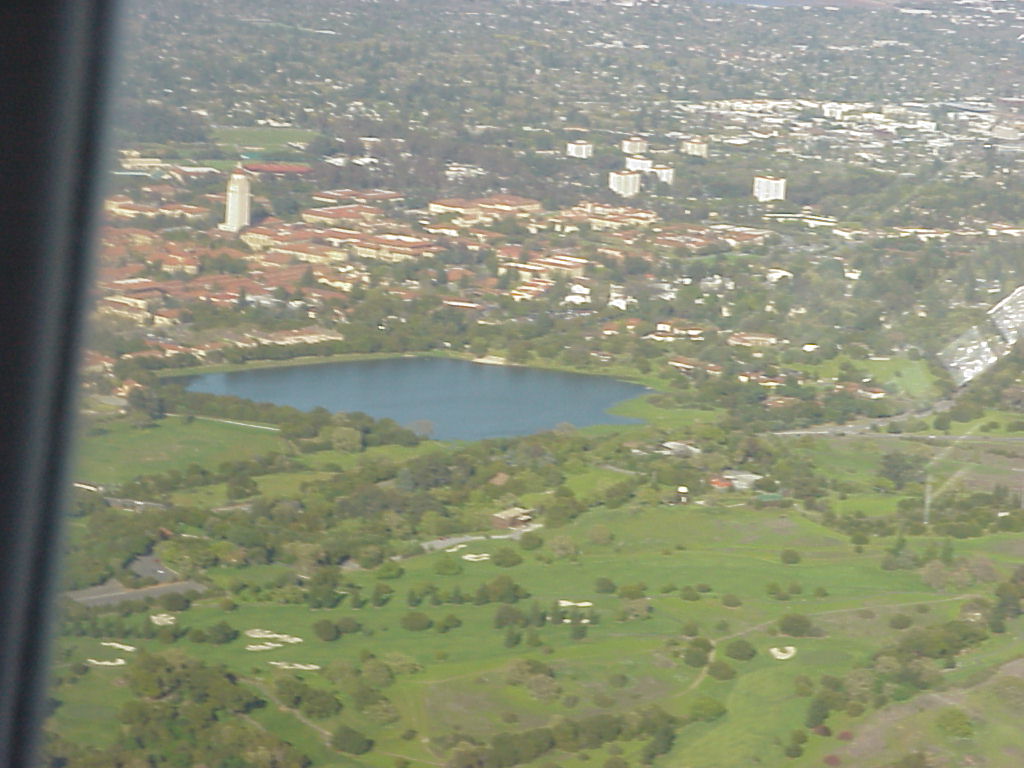
- Lake Lagunita at Stanford Grounds, which needs to be mowed in the summer! This shot taken from N37.4232 W122.1739
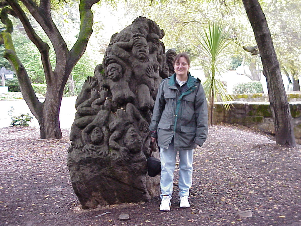
- An innocent bystander standing next to a sculpture in the Tiki Garden
- ./disk32/mvc-003x.jpg
- ./disk32/mvc-004x.jpg
- ./disk32/mvc-005x.jpg
- ./disk32/mvc-006x.jpg
- ./disk32/mvc-007x.jpg
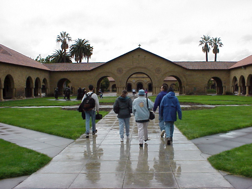
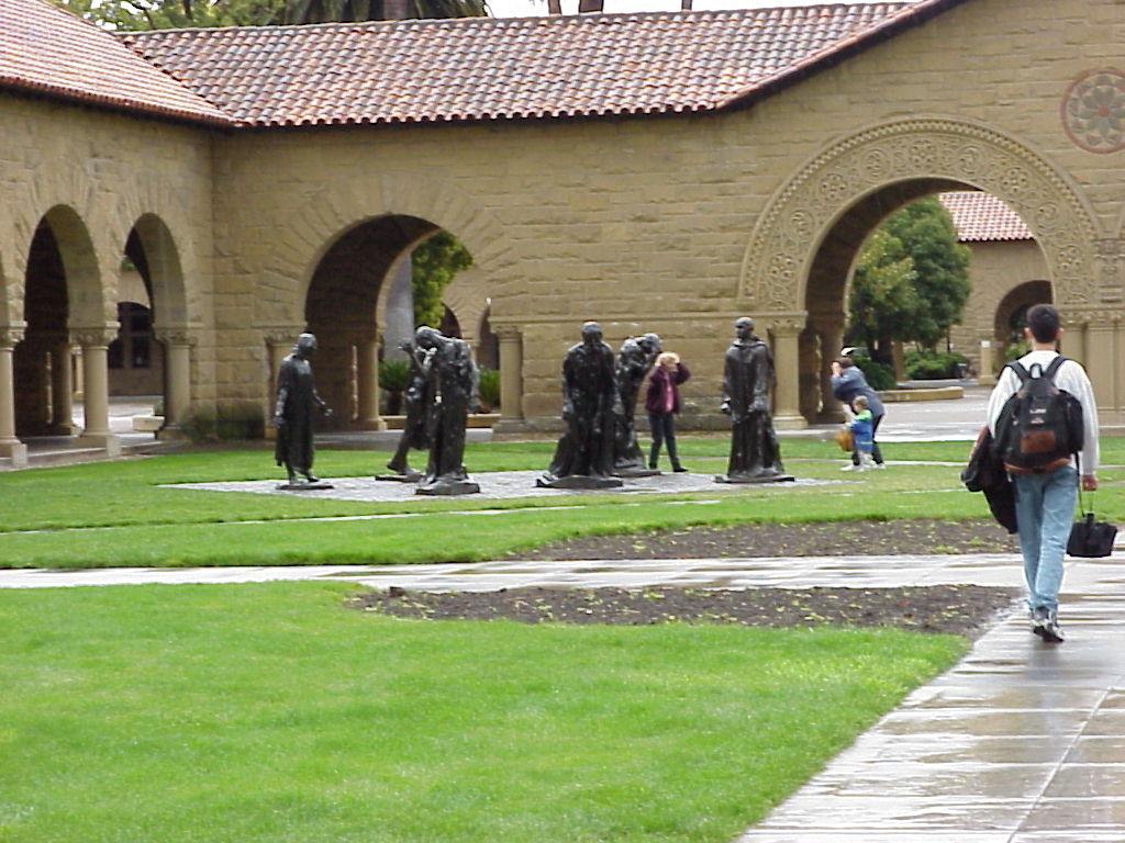
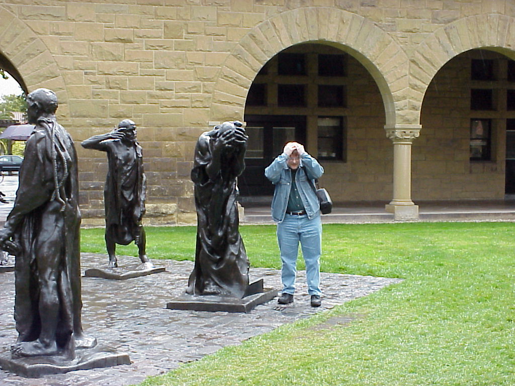
- Jay imitating one of the statues in a courtyard at Stanford, near the oval road.
- ./disk33/mvc-002x.jpg
- ./disk33/mvc-003x.jpg
- ./disk33/mvc-004x.jpg
- ./disk33/mvc-005x.jpg
- ./disk33/mvc-006x.jpg
- ./disk33/mvc-007x.jpg
- ./disk33/mvc-008x.jpg
- ./disk33/mvc-009x.jpg
- ./disk33/mvc-010x.jpg
- ./disk33/mvc-011x.jpg
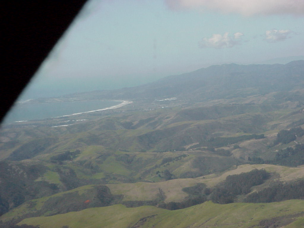
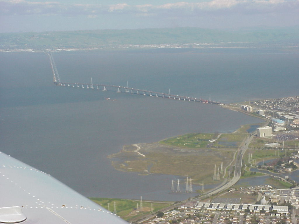
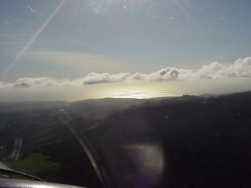
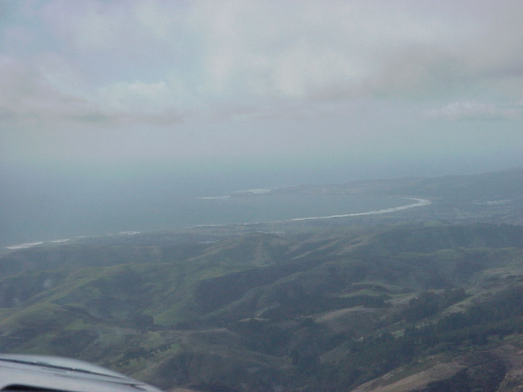
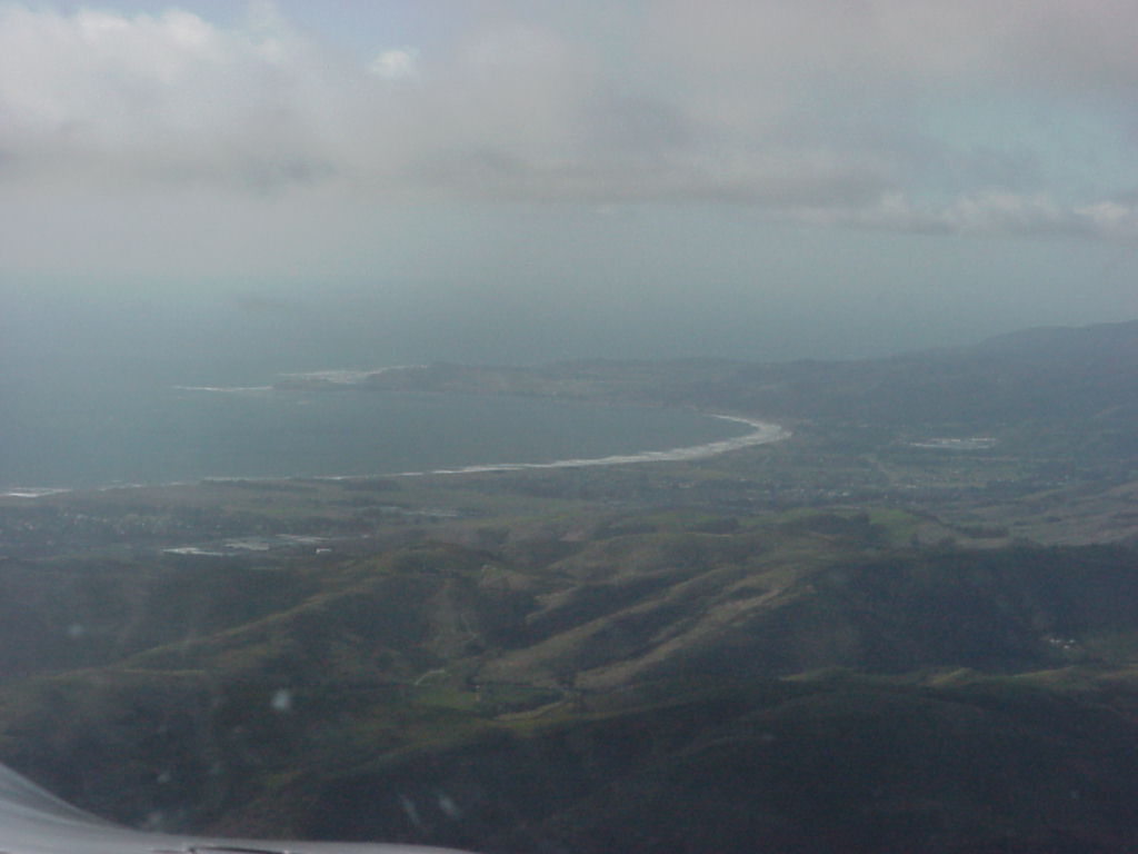
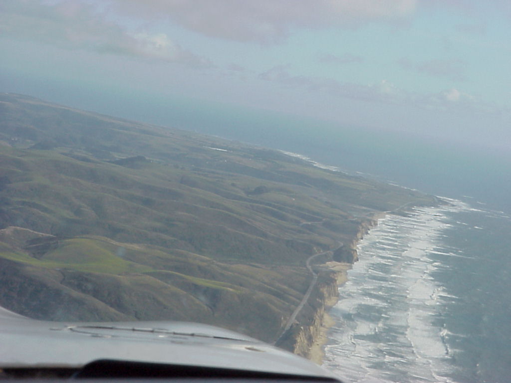
- Aerial Views begin with disk4. This one is the clearer shot of Half Moon Bay that Jen took, with the Half Moon Bay airport (HAF) runway visible on the peninsula, 20% right of the left edge of the picture. North in this picture is roughly up and slightly right.
- Jen's shot of San Francisco from the air.
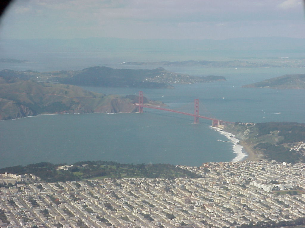
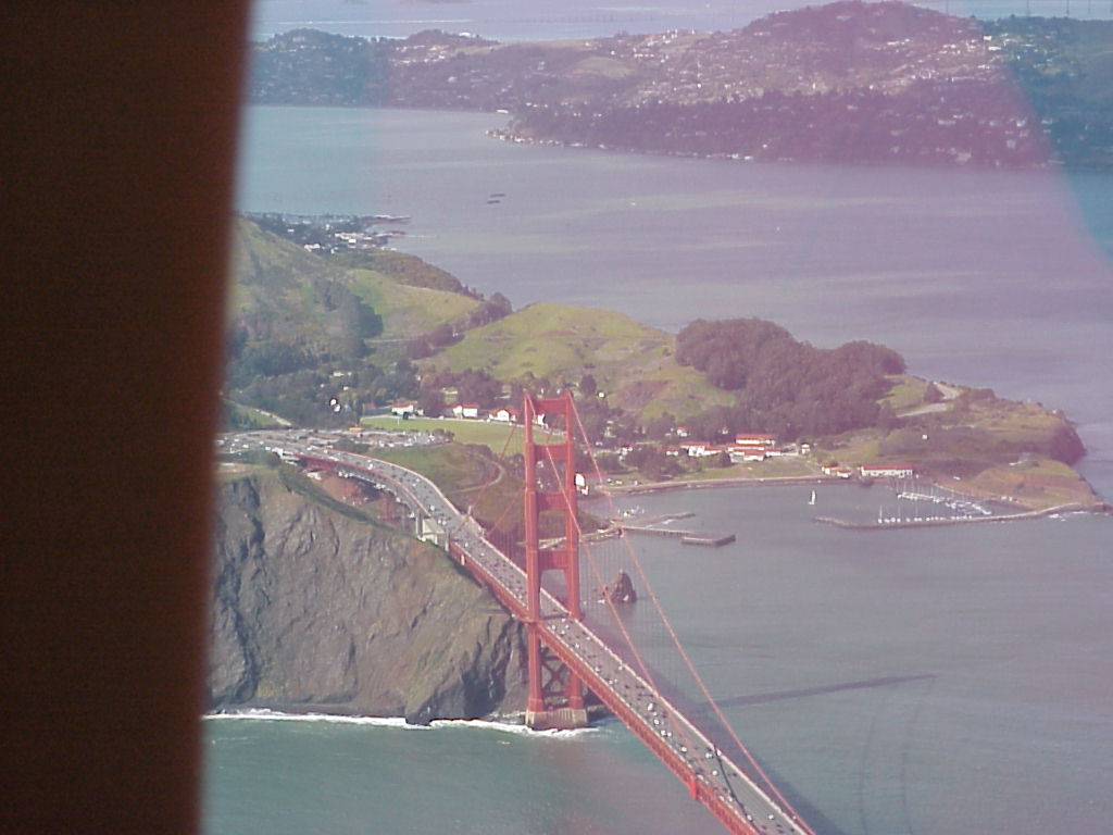
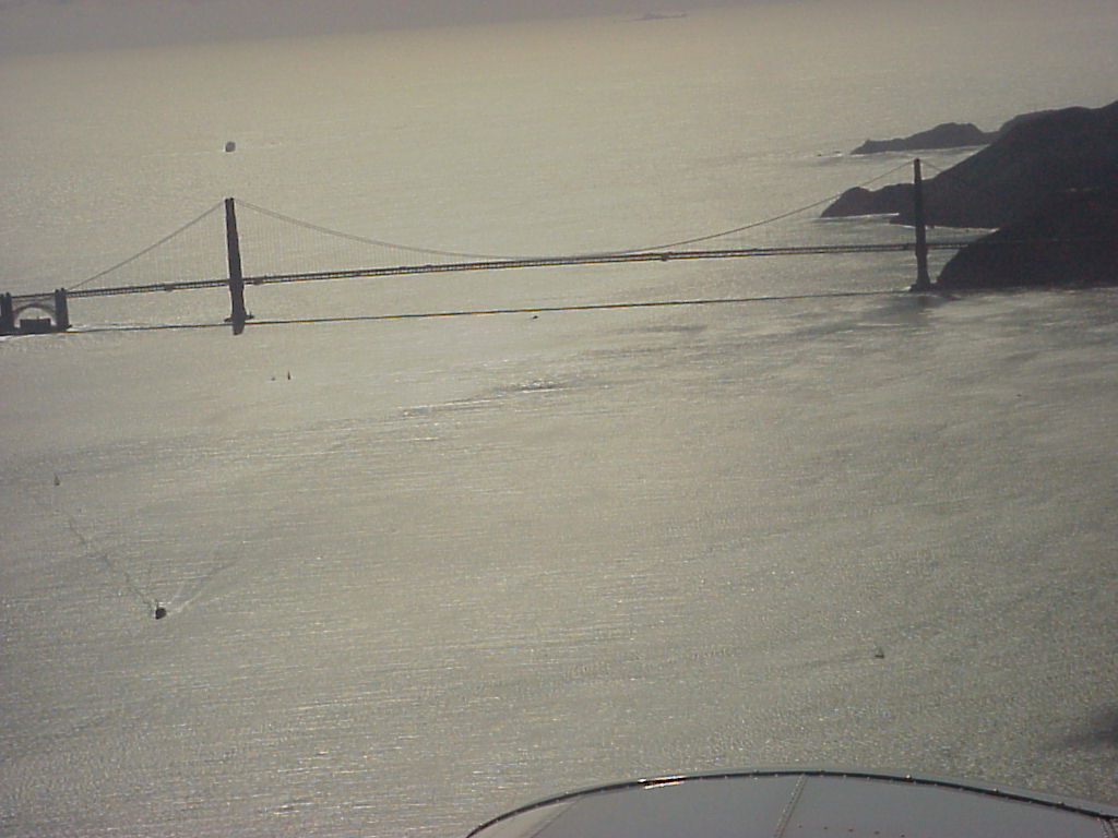
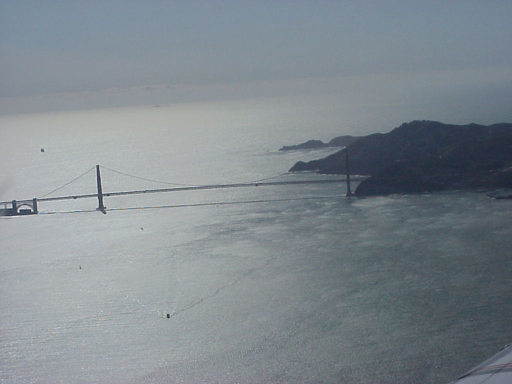
- Aerial view, Golden Gate bridge. The city just past the bridge is Tiburon.
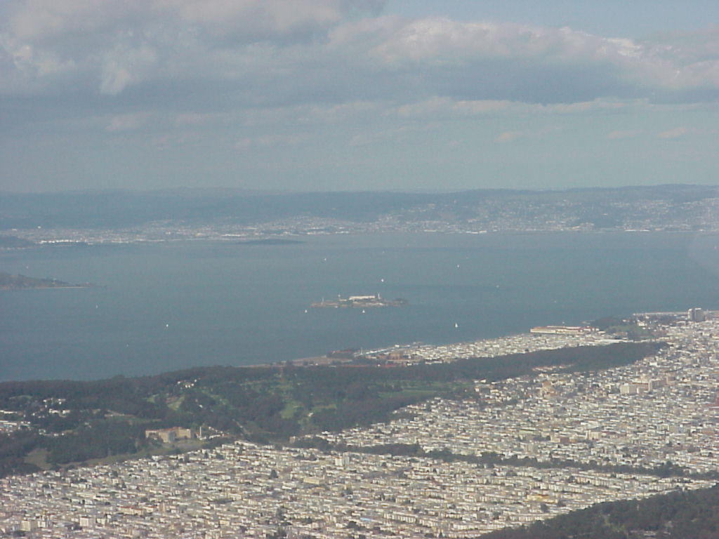
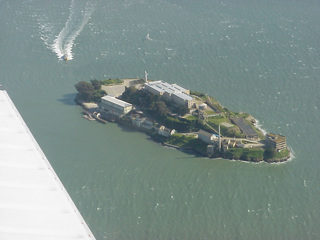
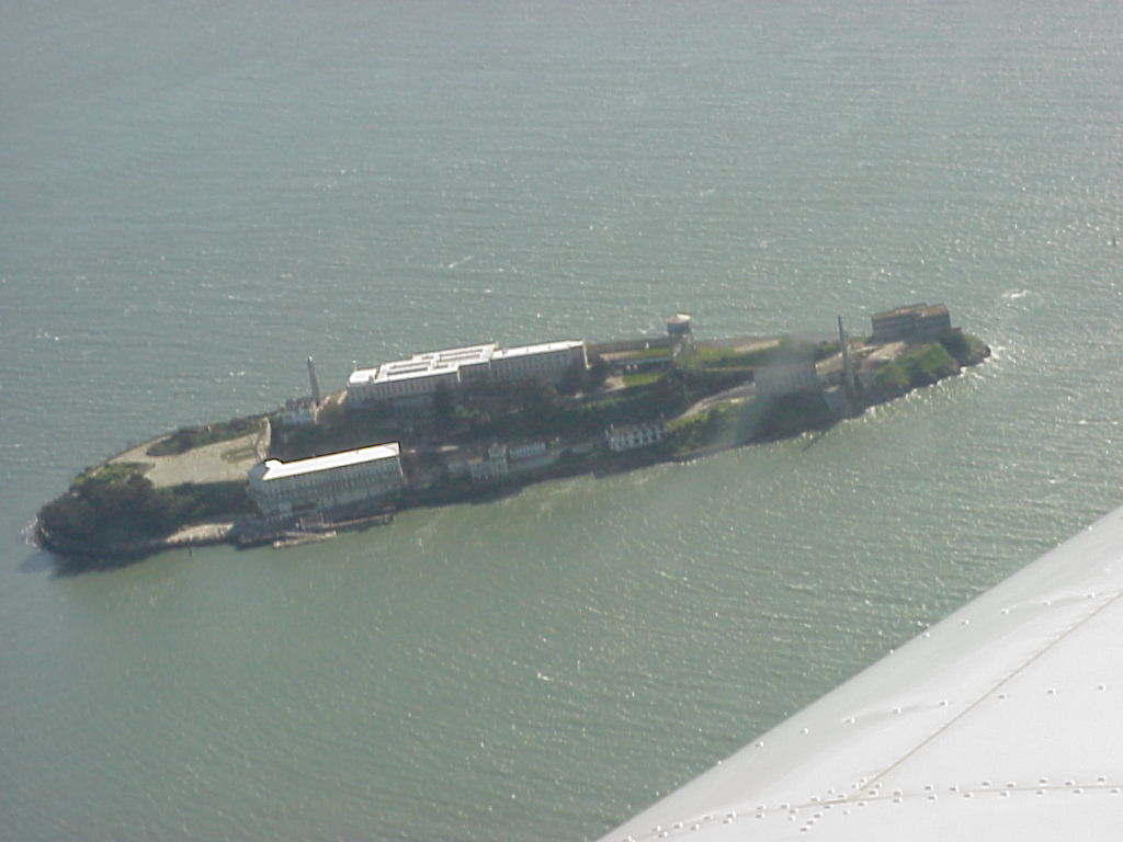
- Alcatraz center, looking northeast over north San Francisco. The white specs are sailboats!
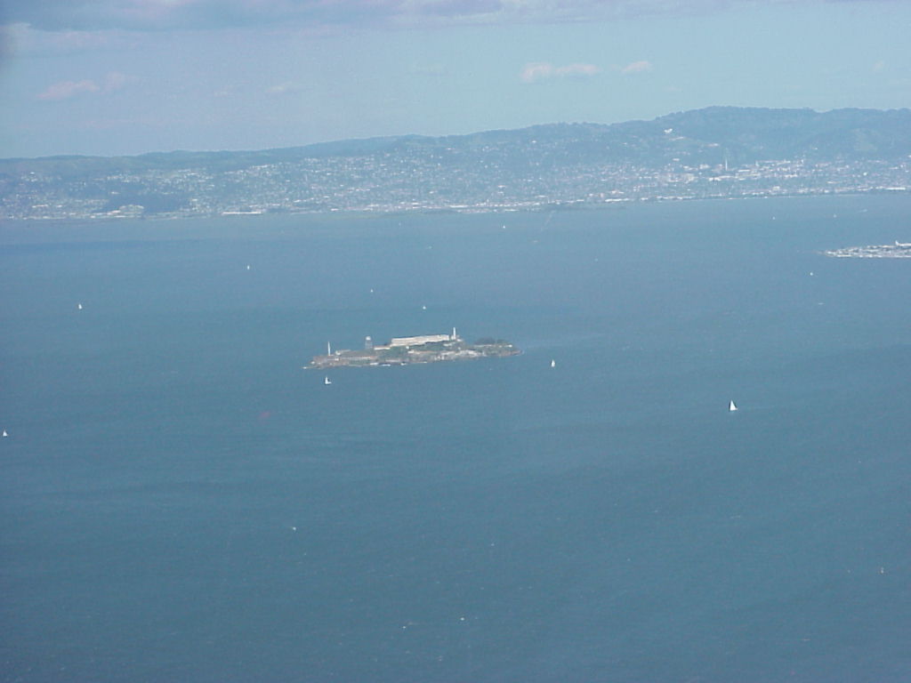
- Approach to Alcatraz, the boats are recognizable now!
- ./disk4/mvc-006x.jpg
- ./disk4/mvc-007x.jpg
- ./disk4/mvc-008x.jpg
- ./disk4/mvc-009x.jpg
- ./disk4/mvc-010x.jpg
- ./disk4/mvc-011x.jpg
- ./disk4/mvc-012x.jpg
- ./disk4/mvc-013x.jpg
- ./disk4/mvc-014x.jpg
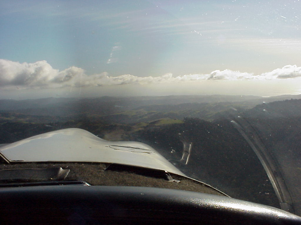
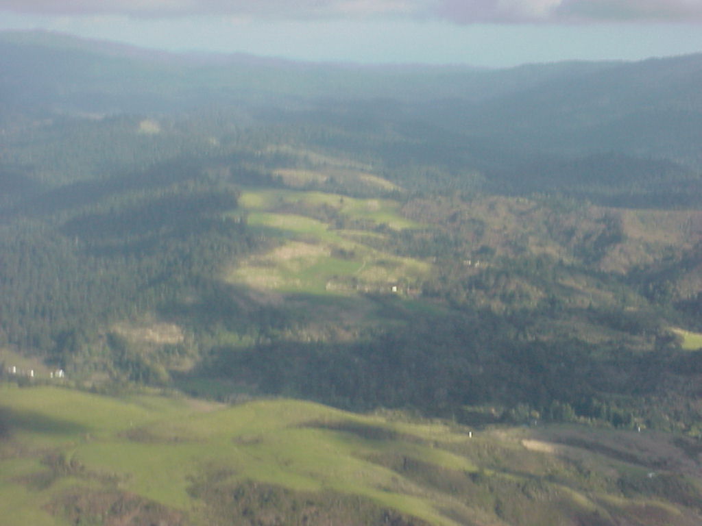
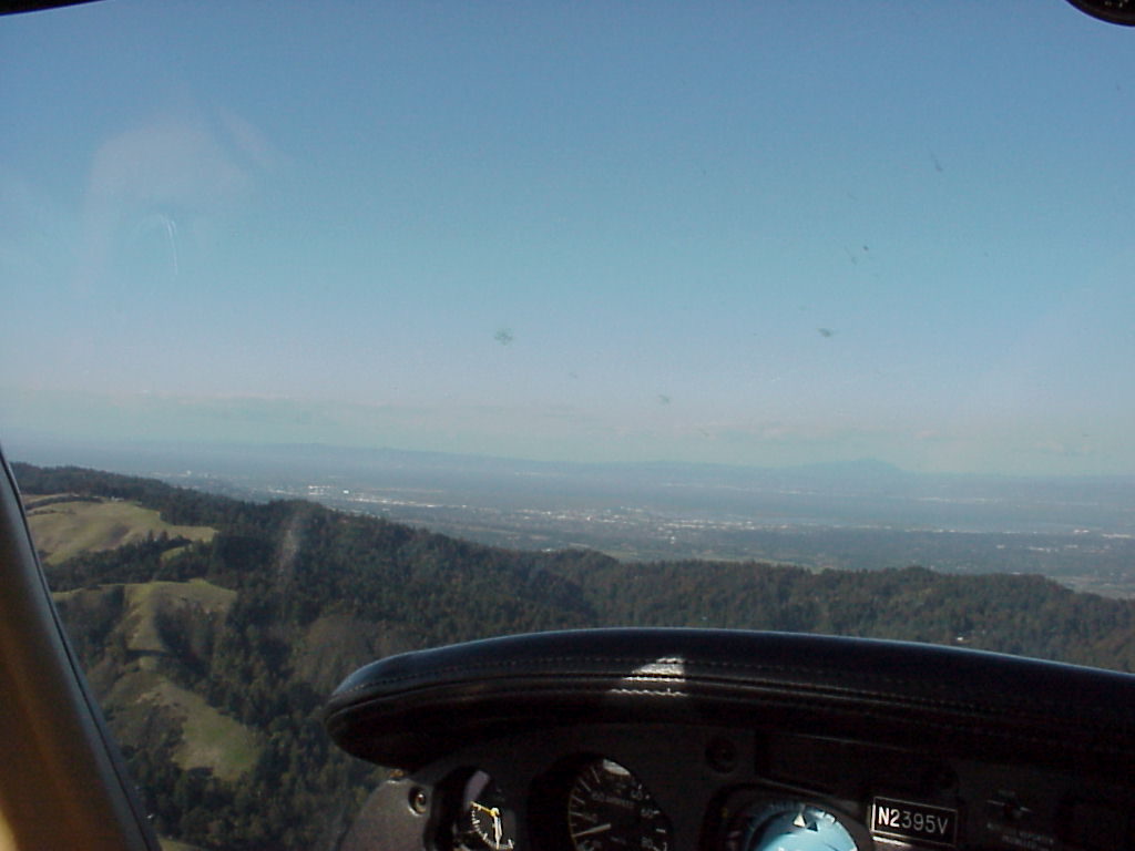
- More aerial views. This one appears to be near the PAO runway.
- ./disk5/mvc-002x.jpg
- ./disk5/mvc-003x.jpg
- ./disk5/mvc-004x.jpg
- ./disk5/mvc-005x.jpg
- ./disk5/mvc-006x.jpg
- ./disk5/mvc-007x.jpg
- ./disk5/mvc-008x.jpg
- ./disk5/mvc-009x.jpg
- ./disk5/mvc-010x.jpg
- ./disk5/mvc-011x.jpg
- ./disk5/mvc-012x.jpg
- ./disk5/mvc-013x.jpg
- ./disk5/mvc-014x.jpg
- ./disk5/mvc-015x.jpg
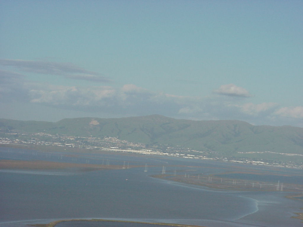
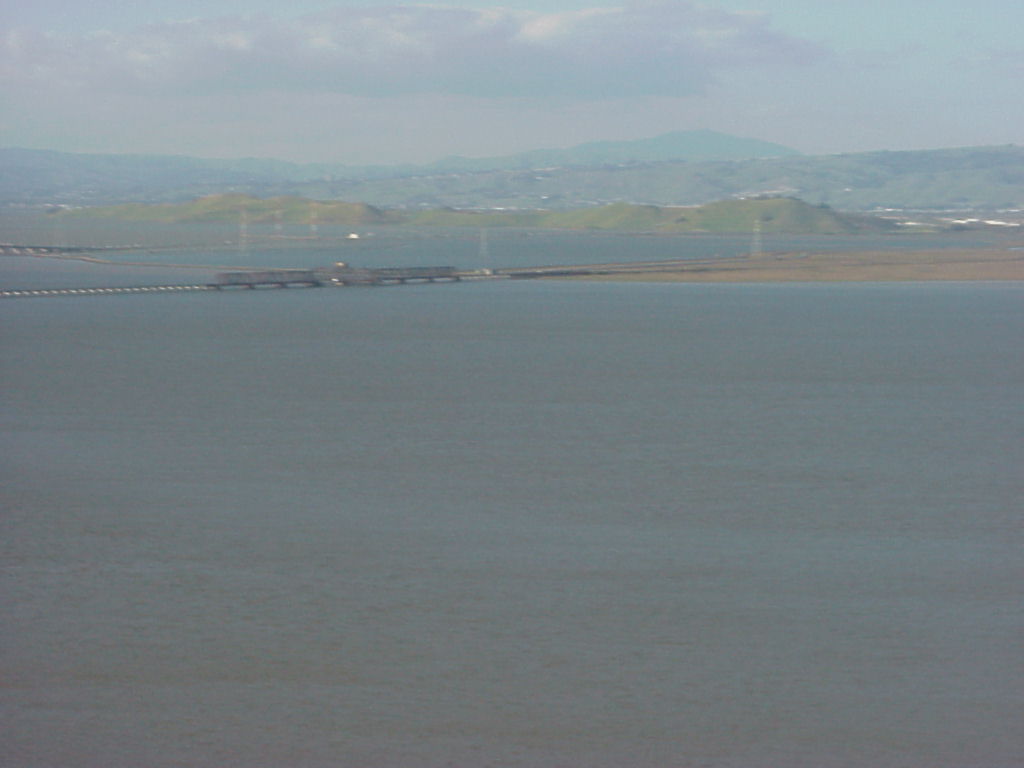
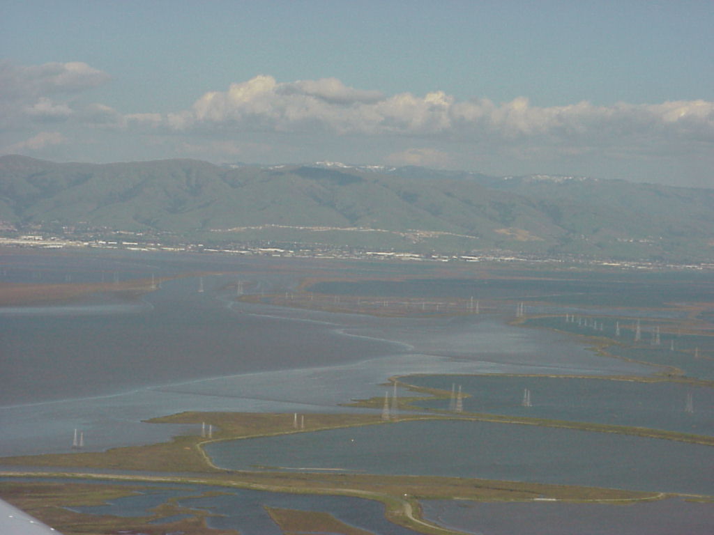
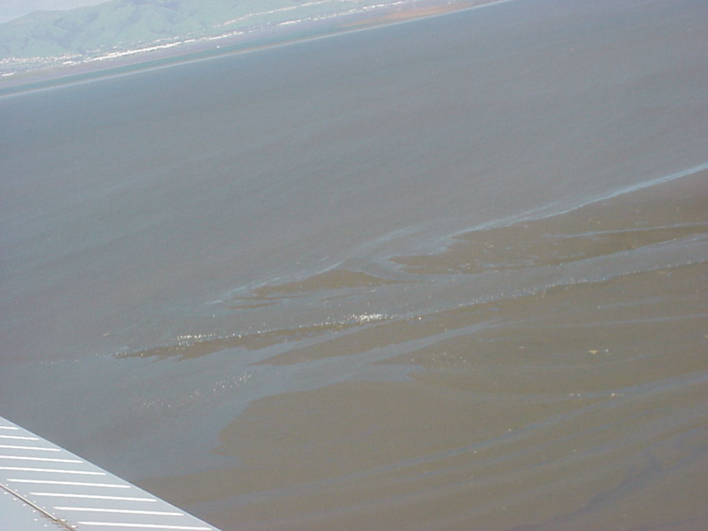
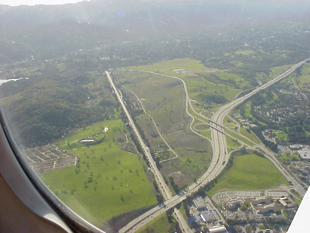
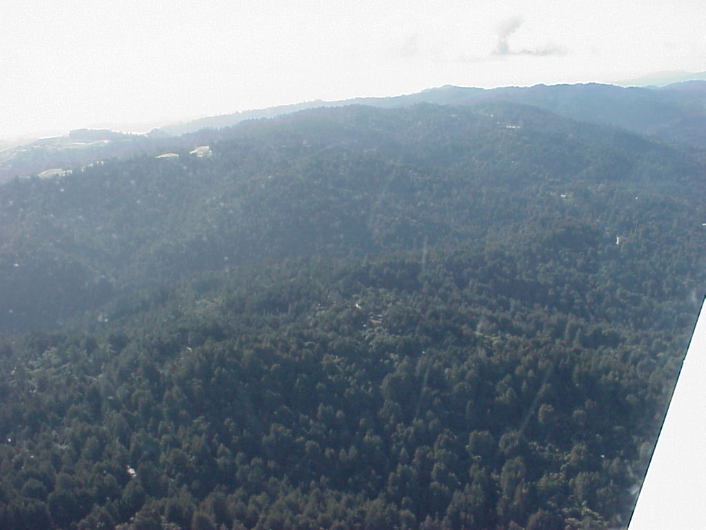
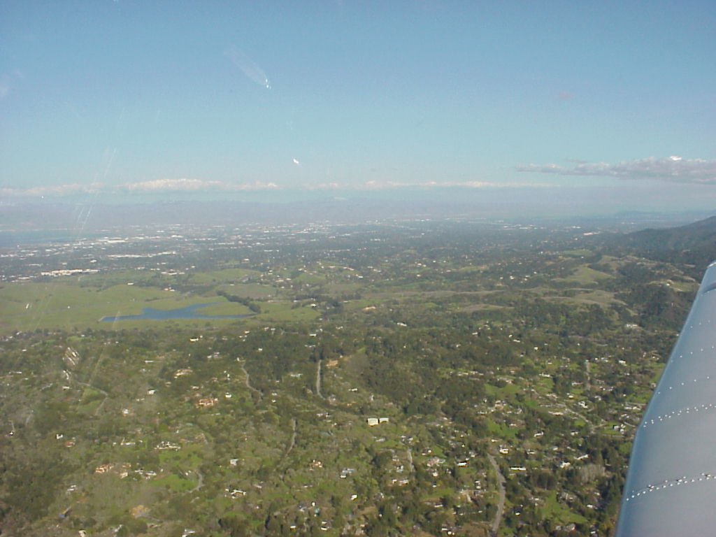
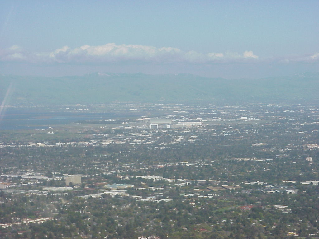
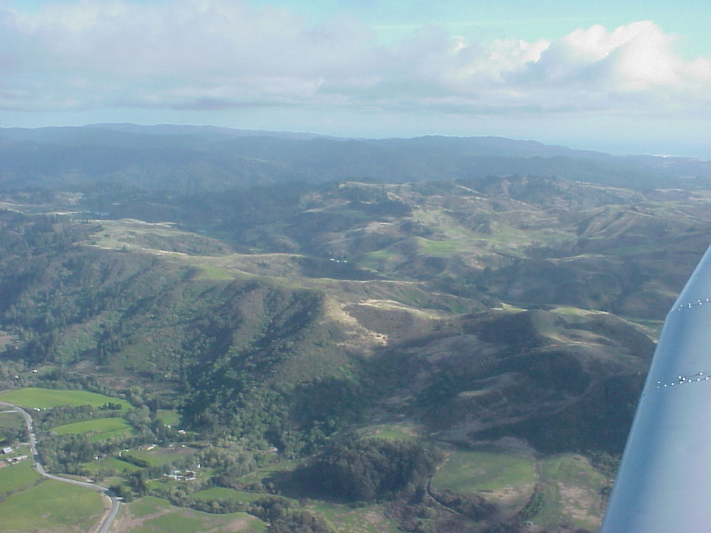
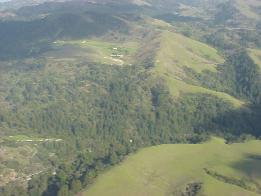
- Aerial view looking east of PAO towards Fremont and the east bay hills.
- ./disk6/mvc-002x.jpg
- ./disk6/mvc-003x.jpg
- ./disk6/mvc-004x.jpg
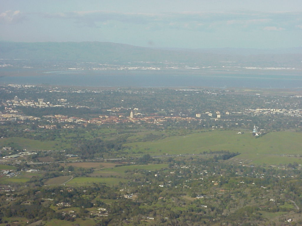
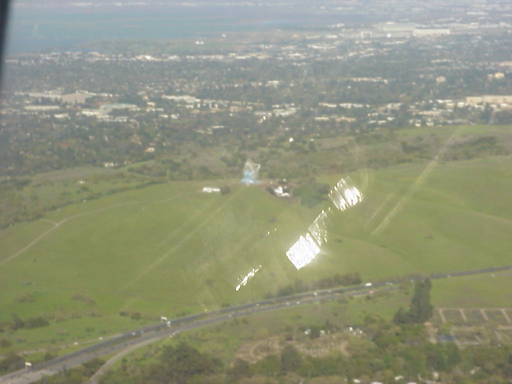
- The western half of SLAC to the left, the 280 Fwy in the Center.
- SLAC - Stanford Linear Accelerator, Aerial View
- ./disk6/mvc-007x.jpg
- ./disk6/mvc-008x.jpg
- ./disk6/mvc-009x.jpg
- ./disk6/mvc-010x.jpg
- ./disk6/mvc-011x.jpg
- ./disk6/mvc-012x.jpg
- ./disk6/mvc-013x.jpg
- ./disk6/mvc-014x.jpg
- ./disk6/mvc-015x.jpg
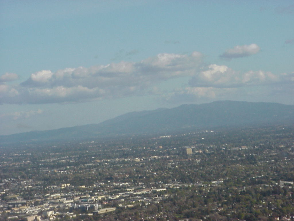
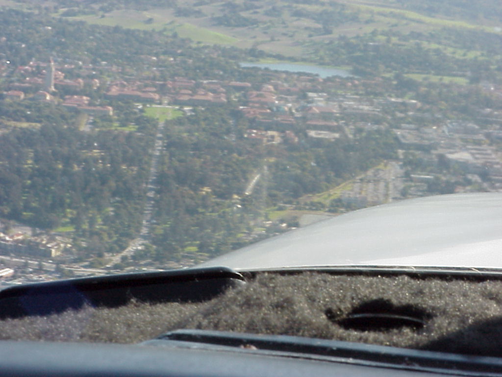
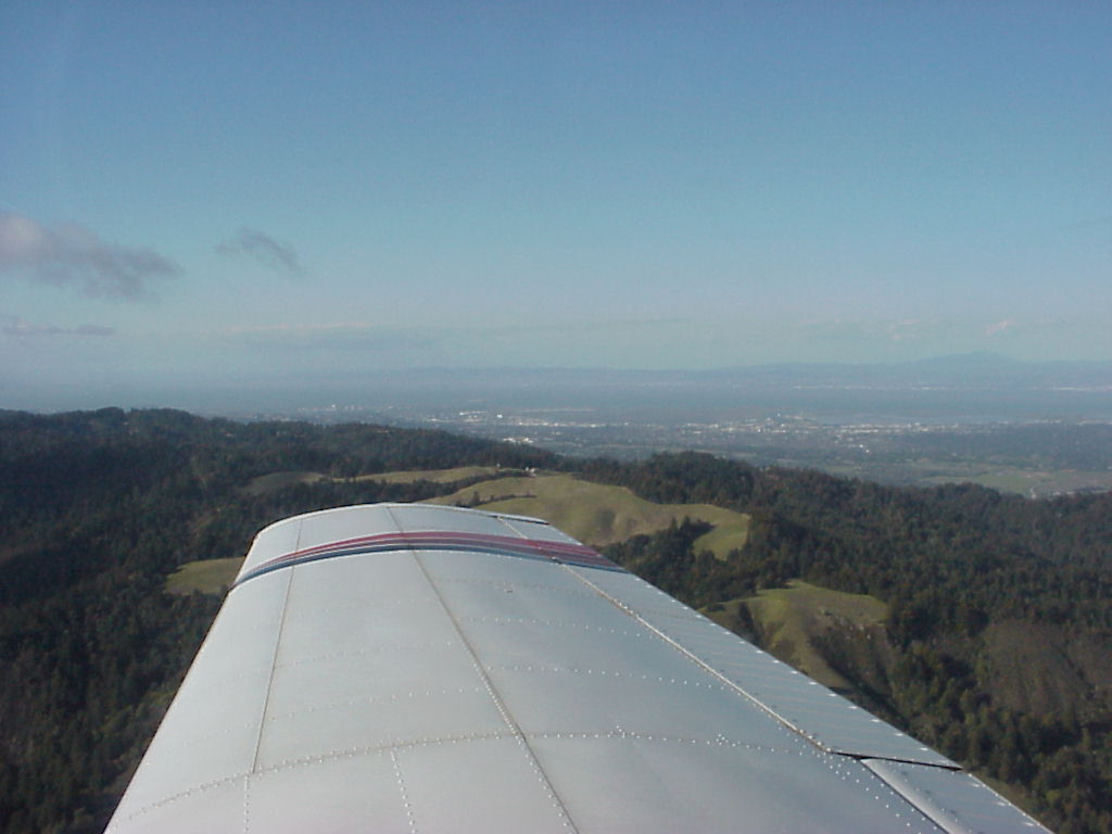
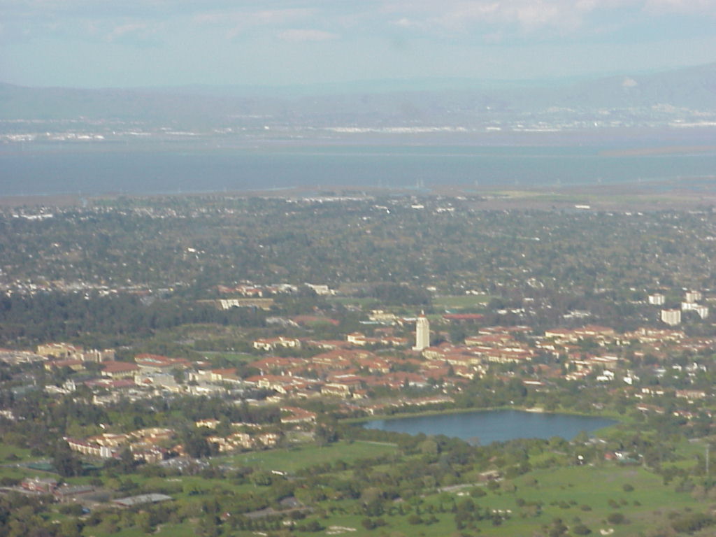
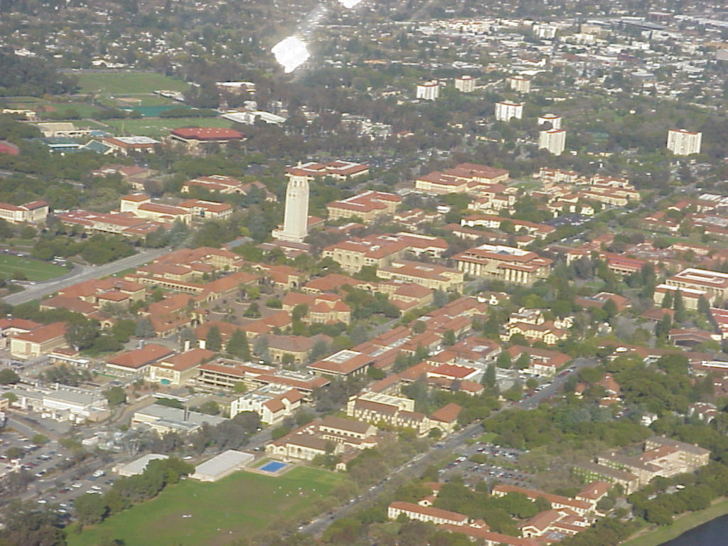
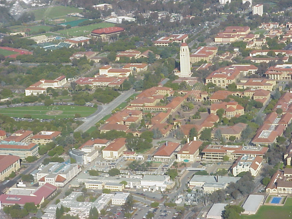
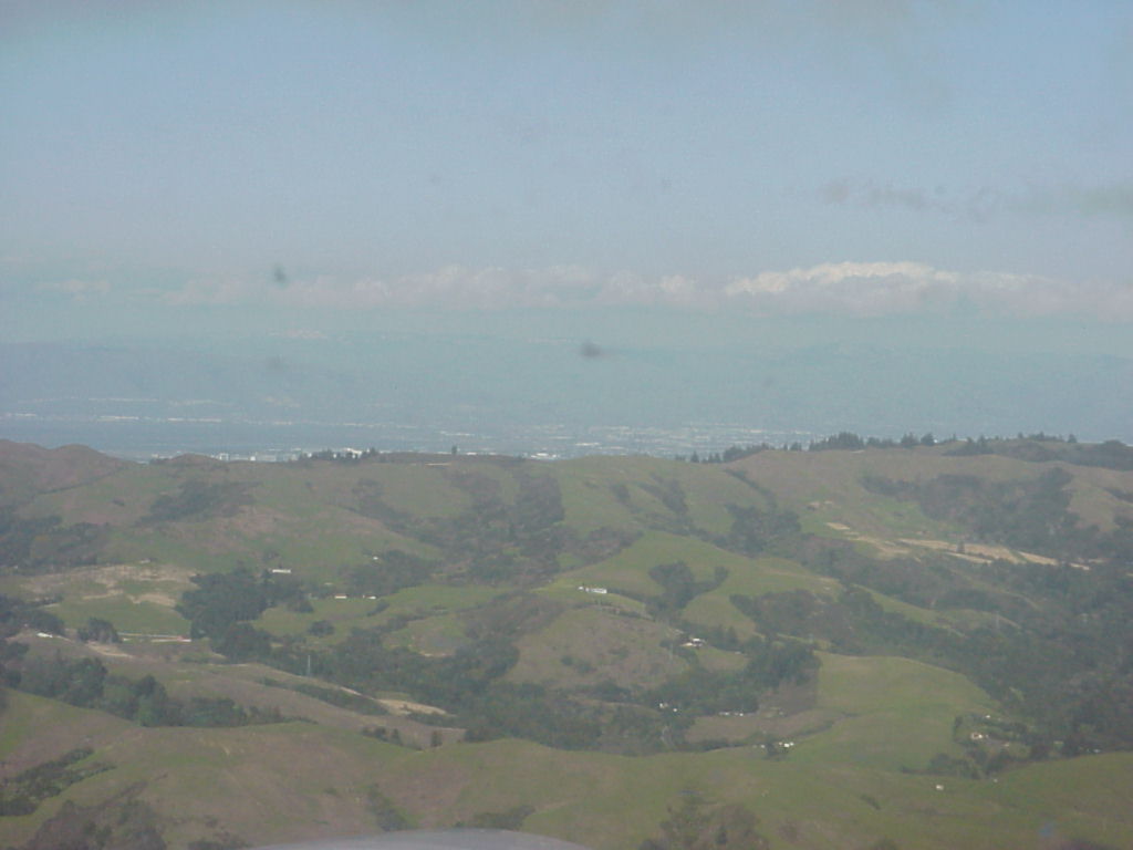
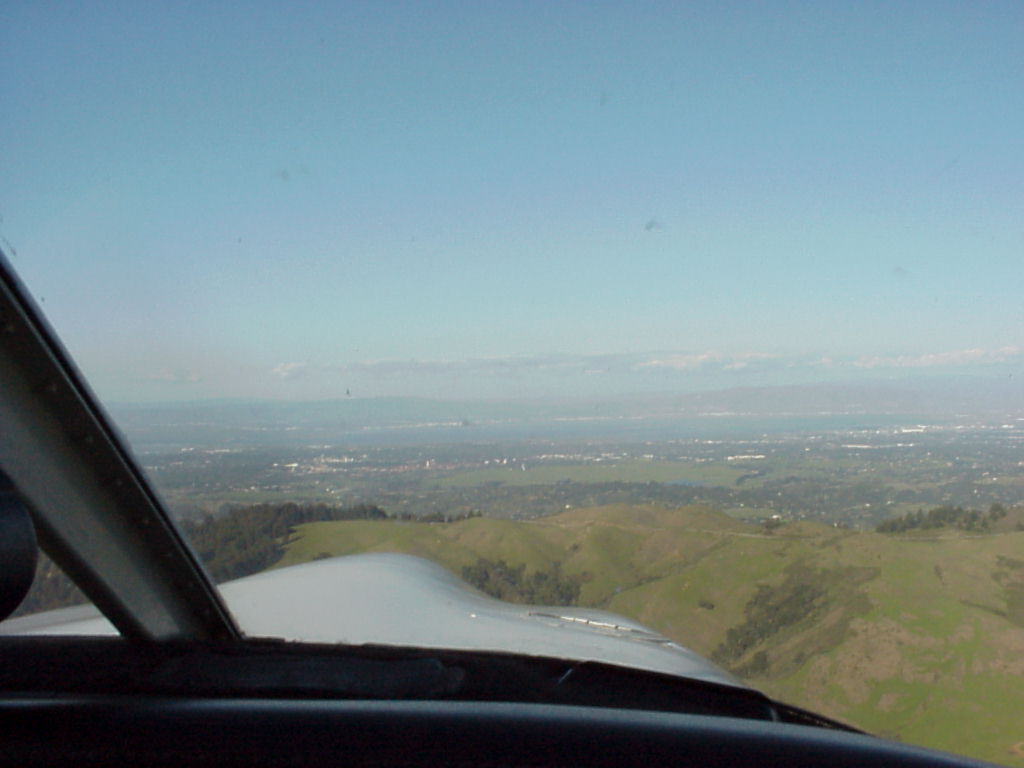
- Aerial view of Stanford (distant)
- ./disk7/mvc-002x.jpg
- ./disk7/mvc-003x.jpg
- ./disk7/mvc-004x.jpg
- ./disk7/mvc-005x.jpg
- ./disk7/mvc-006x.jpg
- ./disk7/mvc-007x.jpg
- ./disk7/mvc-008x.jpg
- ./disk7/mvc-009x.jpg
- ./disk7/mvc-010x.jpg
- ./disk7/mvc-011x.jpg
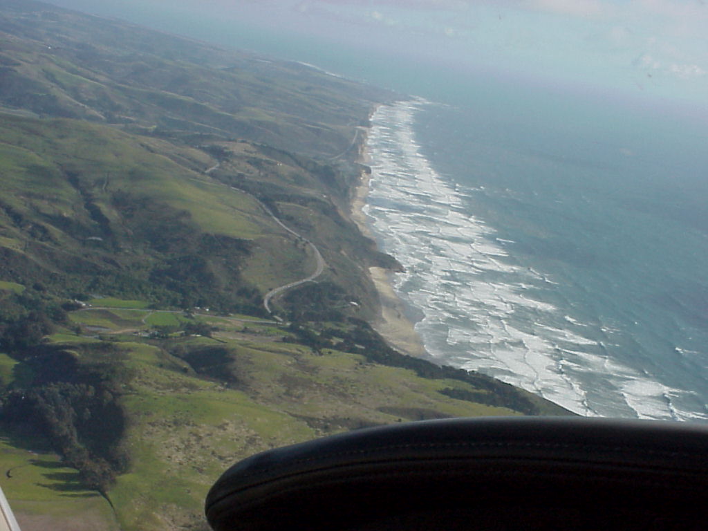
- Shot of Half-Moon Bay by Jay, note the increased haze over the earlier shot. You can see HAF through the haze 20% right of center.
- ./disk8/mvc-002x.jpg
- ./disk8/mvc-003x.jpg
- ./disk8/mvc-004x.jpg
- ./disk8/mvc-005x.jpg
- ./disk8/mvc-006x.jpg
- ./disk8/mvc-007x.jpg
- ./disk8/mvc-008x.jpg
- ./disk8/mvc-009x.jpg
- ./disk8/mvc-010x.jpg
- ./disk8/mvc-011x.jpg
- ./disk8/mvc-012x.jpg
- ./disk8/mvc-013x.jpg
- ./disk8/mvc-014x.jpg
- ./disk8/mvc-015x.jpg
- ./disk8/mvc-016x.jpg
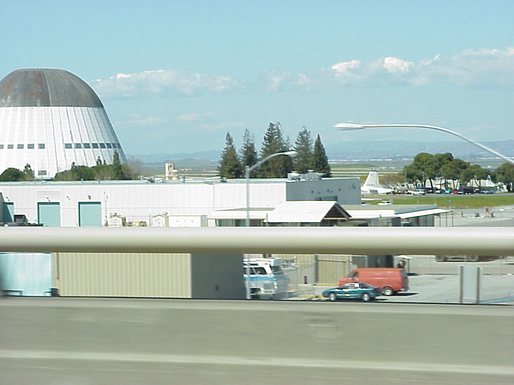
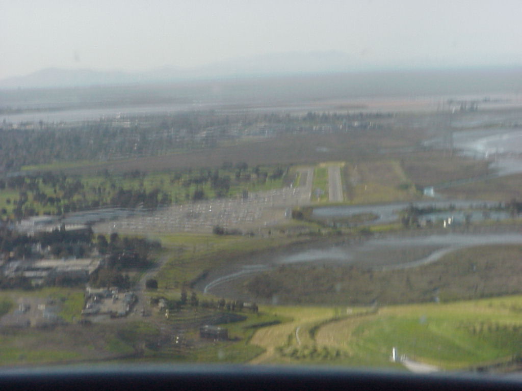
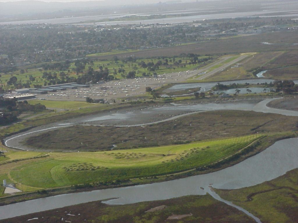
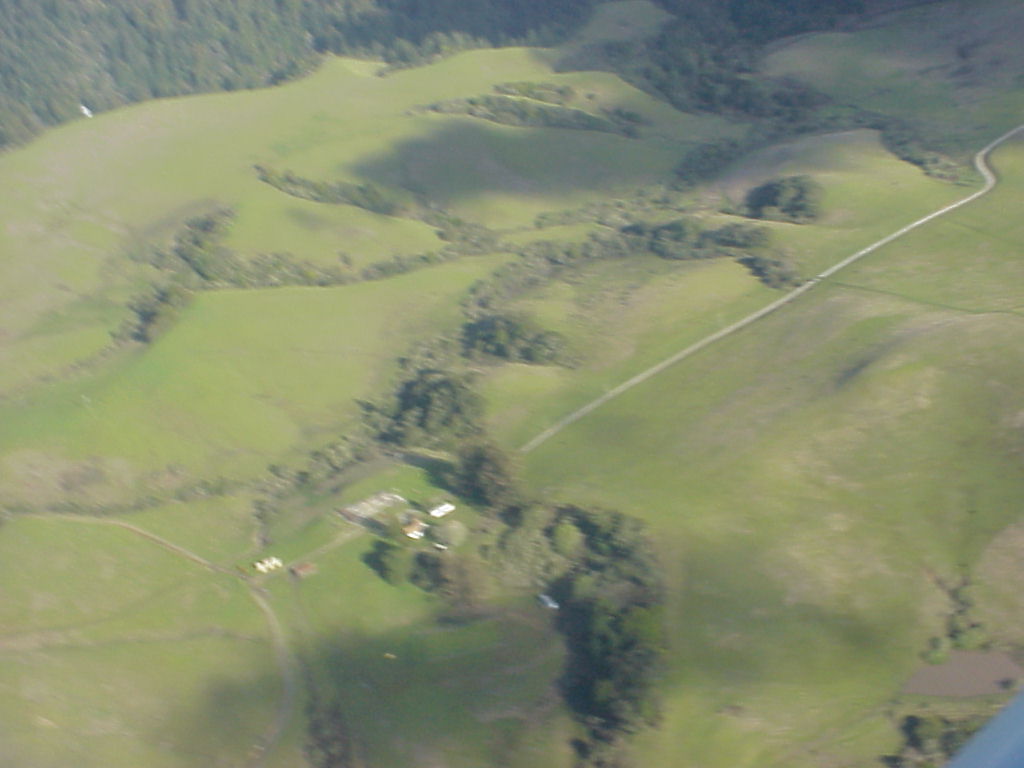
- On our way to Pier39. This is an attempt to get better shots of Moffett Federal Airfield.
- ./disk9/mvc-003x.jpg
- ./disk9/mvc-004x.jpg
- ./disk9/mvc-005x.jpg
- ./disk9/mvc-006x.jpg
- ./disk9/mvc-007x.jpg
- ./disk9/mvc-008x.jpg
- ./disk9/mvc-009x.jpg
- ./disk9/mvc-010x.jpg
- ./disk9/mvc-011x.jpg
- ./disk9/mvc-012x.jpg
- ./disk9/mvc-013x.jpg
- ./mvc-006x-inv.jpg